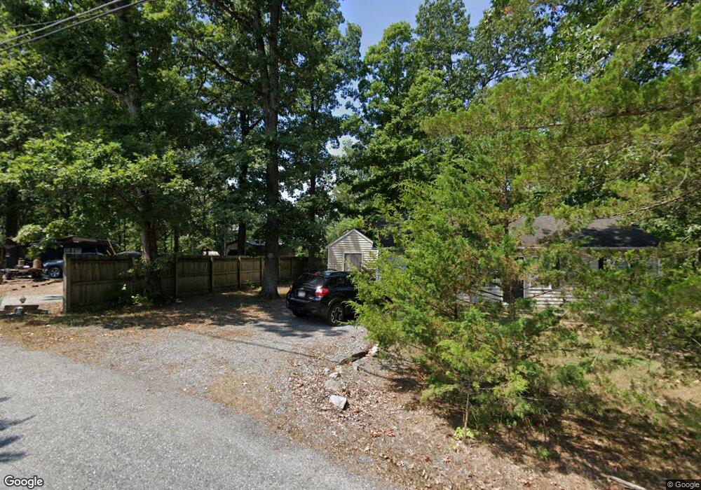
391 Cedar Run Ln Harpers Ferry, WV 25425
Estimated Value: $254,276 - $274,000
2
Beds
1
Bath
1,092
Sq Ft
$246/Sq Ft
Est. Value
About This Home
This home is located at 391 Cedar Run Ln, Harpers Ferry, WV 25425 and is currently estimated at $268,319, approximately $245 per square foot. 391 Cedar Run Ln is a home located in Jefferson County with nearby schools including Blue Ridge Elementary School, Harpers Ferry Middle School, and Washington High School.
Ownership History
Date
Name
Owned For
Owner Type
Purchase Details
Closed on
Dec 6, 2016
Sold by
Lepage Battugs Dambasuren
Bought by
Lepage John B
Current Estimated Value
Purchase Details
Closed on
Feb 20, 2007
Sold by
Qba Llc
Bought by
Lepage John B
Home Financials for this Owner
Home Financials are based on the most recent Mortgage that was taken out on this home.
Original Mortgage
$135,200
Outstanding Balance
$81,199
Interest Rate
6.3%
Mortgage Type
New Conventional
Estimated Equity
$187,120
Create a Home Valuation Report for This Property
The Home Valuation Report is an in-depth analysis detailing your home's value as well as a comparison with similar homes in the area
Home Values in the Area
Average Home Value in this Area
Purchase History
| Date | Buyer | Sale Price | Title Company |
|---|---|---|---|
| Lepage John B | -- | None Available | |
| Lepage John B | $169,000 | None Available |
Source: Public Records
Mortgage History
| Date | Status | Borrower | Loan Amount |
|---|---|---|---|
| Open | Lepage John B | $135,200 | |
| Closed | Lepage John B | $33,800 |
Source: Public Records
Tax History Compared to Growth
Tax History
| Year | Tax Paid | Tax Assessment Tax Assessment Total Assessment is a certain percentage of the fair market value that is determined by local assessors to be the total taxable value of land and additions on the property. | Land | Improvement |
|---|---|---|---|---|
| 2025 | $1,191 | $102,500 | $31,800 | $70,700 |
| 2024 | $1,048 | $89,500 | $31,800 | $57,700 |
| 2023 | $980 | $83,900 | $26,200 | $57,700 |
| 2022 | $921 | $77,300 | $26,200 | $51,100 |
| 2021 | $873 | $71,900 | $26,200 | $45,700 |
| 2020 | $825 | $72,500 | $26,200 | $46,300 |
| 2019 | $775 | $66,800 | $19,900 | $46,900 |
| 2018 | $772 | $65,700 | $19,900 | $45,800 |
| 2017 | $626 | $53,300 | $6,800 | $46,500 |
| 2016 | $631 | $53,900 | $6,800 | $47,100 |
| 2015 | $605 | $51,400 | $6,800 | $44,600 |
| 2014 | $611 | $52,000 | $6,800 | $45,200 |
Source: Public Records
Map
Nearby Homes
- 23 Heavenwood Ln
- 10 Campsite Trail
- 0 Estes Way
- 32 Middle Cross Trail
- 93 Old Sycamore Ln
- 155 White Fox Trail
- 151 Scarlet Oak Dr
- 0 Skyhawk Trail
- 0 Bear Run
- 291 River View Dr
- 33 River View Dr
- 87 Blue Ridge Loop
- 139 River Valley View Dr
- Lot 107 Smokey Bear Trail
- Lots 76 & 77 Pink Bud Trail
- 0 Red Maple Ln
- 0 Mill Stone Run
- Lot 17 Mill Stone Run
- Lots 20 & 21 Mill Stone Run
- 1956 Cattail Run Rd
- 415 Cedar Run Ln
- 259 Beech Dr
- 428 Cedar Run Ln
- 0 Campsite Trail Unit 1006775254
- 0 Campsite Trail Unit 1006774616
- 0 Campsite Trail Unit 109 1006365054
- 0 Campsite Trail Unit JF7485250
- 0 Campsite Trail Unit JF7485398
- 0 Campsite Trail Unit 109
- 234 Beech Dr
- 24 Campsite Trail Unit 24
- 88 Campsite Ct
- 31 Campsite Trail
- 1011 Keyes Gap Rd
- 87 Spring Lake Ln
- 120 Hilltop Loop Rd
- 109 Spring Lake Ln
- 890 Keyes Gap Rd
- 70 Campsite Trail
- 76 Campsite Trail