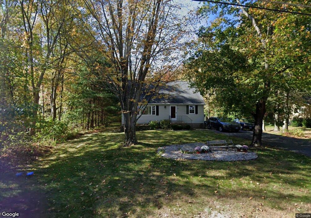
391 Cedar Swamp Rd Coventry, CT 06238
Estimated Value: $352,564 - $396,000
3
Beds
6
Baths
1,382
Sq Ft
$268/Sq Ft
Est. Value
About This Home
This home is located at 391 Cedar Swamp Rd, Coventry, CT 06238 and is currently estimated at $369,891, approximately $267 per square foot. 391 Cedar Swamp Rd is a home located in Tolland County with nearby schools including Coventry Grammar School, George Hersey Robertson School, and Capt. Nathan Hale School.
Ownership History
Date
Name
Owned For
Owner Type
Purchase Details
Closed on
Jan 29, 2007
Sold by
Harvey Carolyn M
Bought by
Larabee Ruth A
Current Estimated Value
Home Financials for this Owner
Home Financials are based on the most recent Mortgage that was taken out on this home.
Original Mortgage
$210,308
Interest Rate
6.15%
Purchase Details
Closed on
Jul 17, 1998
Sold by
Heath Joyce
Bought by
Harvey Carolyn
Create a Home Valuation Report for This Property
The Home Valuation Report is an in-depth analysis detailing your home's value as well as a comparison with similar homes in the area
Home Values in the Area
Average Home Value in this Area
Purchase History
| Date | Buyer | Sale Price | Title Company |
|---|---|---|---|
| Larabee Ruth A | $213,000 | -- | |
| Harvey Carolyn | $125,000 | -- | |
| Larabee Ruth A | $213,000 | -- | |
| Harvey Carolyn | $125,000 | -- |
Source: Public Records
Mortgage History
| Date | Status | Borrower | Loan Amount |
|---|---|---|---|
| Open | Harvey Carolyn | $203,797 | |
| Closed | Harvey Carolyn | $210,308 | |
| Previous Owner | Harvey Carolyn | $72,993 |
Source: Public Records
Tax History
| Year | Tax Paid | Tax Assessment Tax Assessment Total Assessment is a certain percentage of the fair market value that is determined by local assessors to be the total taxable value of land and additions on the property. | Land | Improvement |
|---|---|---|---|---|
| 2025 | $5,104 | $214,800 | $54,000 | $160,800 |
| 2024 | $4,330 | $130,000 | $44,600 | $85,400 |
| 2023 | $4,126 | $130,000 | $44,600 | $85,400 |
| 2022 | $4,050 | $130,000 | $44,600 | $85,400 |
| 2021 | $4,050 | $130,000 | $44,600 | $85,400 |
| 2020 | $4,052 | $130,000 | $44,600 | $85,400 |
| 2019 | $4,186 | $130,000 | $44,600 | $85,400 |
| 2018 | $3,700 | $114,900 | $44,600 | $70,300 |
| 2017 | $3,677 | $114,900 | $44,600 | $70,300 |
| 2016 | $3,585 | $114,900 | $44,600 | $70,300 |
| 2015 | $3,585 | $114,900 | $44,600 | $70,300 |
| 2014 | $3,966 | $139,300 | $54,300 | $85,000 |
Source: Public Records
Map
Nearby Homes
- 5 Laurelwood Ln Unit lot 16
- 7 Laurelwood Ln Unit Lot 15
- 12 Laurelwood Ln Unit lot 8
- 23 Neville St
- 939 Boston Turnpike
- 61 Stone Hedge Ln
- 0 Boston Turnpike Unit 24128587
- 279 Mark Dr
- 93 Dockerel Rd
- 687 Hop River Rd
- 151 Pine Hill Rd
- 16 Higgins Way
- 361 Dunn Rd
- 25 Wolf Hill Rd
- 37 Wolf Hill Rd Unit Lot 40
- 37 Wolf Hill Lot (#40) Rd
- 395 Grant Hill (Mill Race Drive) Lot #21 Rd
- 395 Grant Hill Rd Unit Lot21
- 0 Mile Hill Rd
- 2 Vine Dr
- 401 Cedar Swamp Rd
- 381 Cedar Swamp Rd
- 411 Cedar Swamp Rd
- 371 Cedar Swamp Rd
- 421 Cedar Swamp Rd
- 95 Bolton Branch Rd
- 105 Bolton Branch Rd
- 85 Bolton Branch Rd
- 361 Cedar Swamp Rd
- 351 Cedar Swamp Rd
- 115 Bolton Branch Rd
- 75 Bolton Branch Rd
- 380 Cedar Swamp Rd
- 431 Cedar Swamp Rd
- 125 Bolton Branch Rd
- 441 Cedar Swamp Rd
- 341 Cedar Swamp Rd
- 55 Bolton Branch Rd
- 94 Bolton Branch Rd
- 451 Cedar Swamp Rd
Your Personal Tour Guide
Ask me questions while you tour the home.