Estimated Value: $310,000 - $911,053
3
Beds
3
Baths
3,045
Sq Ft
$201/Sq Ft
Est. Value
About This Home
This home is located at 391 Chad Rd, Pavo, GA 31778 and is currently estimated at $610,527, approximately $200 per square foot. 391 Chad Rd is a home with nearby schools including North Brooks Elementary School.
Ownership History
Date
Name
Owned For
Owner Type
Purchase Details
Closed on
May 22, 2025
Sold by
Lanier Guy Debra
Bought by
Guy Debra Lanier Trust
Current Estimated Value
Purchase Details
Closed on
Apr 29, 2019
Sold by
Roberts Michael Scott
Bought by
Lanier Guy Debra and Lanier Dennis Robert
Home Financials for this Owner
Home Financials are based on the most recent Mortgage that was taken out on this home.
Original Mortgage
$116,515
Interest Rate
4%
Mortgage Type
New Conventional
Purchase Details
Closed on
Aug 5, 2013
Sold by
Beaty Gary L
Bought by
Roberts Michael Scott and Roberts Cecil Kayla
Purchase Details
Closed on
Feb 23, 2004
Sold by
Beaty Flora C
Bought by
Beaty Gary L
Purchase Details
Closed on
Nov 3, 1987
Sold by
Beaty Myrl A
Bought by
Beaty Flora C
Create a Home Valuation Report for This Property
The Home Valuation Report is an in-depth analysis detailing your home's value as well as a comparison with similar homes in the area
Home Values in the Area
Average Home Value in this Area
Purchase History
| Date | Buyer | Sale Price | Title Company |
|---|---|---|---|
| Guy Debra Lanier Trust | -- | -- | |
| Lanier Guy Debra | $140,000 | -- | |
| Roberts Michael Scott | $110,000 | -- | |
| Beaty Gary L | -- | -- | |
| Beaty Flora C | -- | -- |
Source: Public Records
Mortgage History
| Date | Status | Borrower | Loan Amount |
|---|---|---|---|
| Previous Owner | Lanier Guy Debra | $116,515 |
Source: Public Records
Tax History Compared to Growth
Tax History
| Year | Tax Paid | Tax Assessment Tax Assessment Total Assessment is a certain percentage of the fair market value that is determined by local assessors to be the total taxable value of land and additions on the property. | Land | Improvement |
|---|---|---|---|---|
| 2025 | $5,858 | $280,920 | $79,480 | $201,440 |
| 2024 | $5,858 | $280,920 | $79,480 | $201,440 |
| 2023 | $5,324 | $250,840 | $69,960 | $180,880 |
| 2022 | $2,989 | $147,200 | $66,640 | $80,560 |
| 2021 | $1,610 | $84,480 | $51,320 | $33,160 |
| 2020 | $1,547 | $55,720 | $51,320 | $4,400 |
| 2019 | $1,308 | $45,440 | $45,440 | $0 |
| 2018 | $1,332 | $45,680 | $45,680 | $0 |
| 2017 | $1,345 | $45,360 | $45,360 | $0 |
| 2016 | $1,335 | $45,360 | $45,360 | $0 |
| 2015 | -- | $45,360 | $45,360 | $0 |
| 2014 | -- | $45,360 | $45,360 | $0 |
| 2013 | -- | $47,400 | $47,400 | $0 |
Source: Public Records
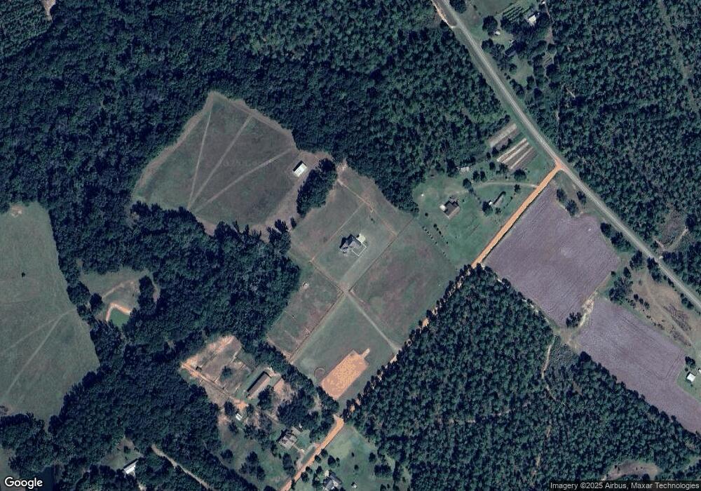
Map
Nearby Homes
- 1136 Nesbitt Rd
- 2055 S Roberts St
- 2051 W Pear St
- 1038-BA Church St
- 1230 Parrish Rd
- 7402 Coffee Rd
- 813 Vonier Road (6 Acres)
- 9283 Tallokas Rd Unit 54/13
- 9283 Tallokas Rd
- 13876 Ga Highway 122
- 16343 Georgia 33
- 16343 Ga Hwy 33 -8 34 Acres
- 16343
- 16343 Ga Hwy 33 - 8 34 Acres Hwy
- 431 Dry Lake Rd
- 9900 Ozell Rd
- 7921 Five Forks Rd
- 2818 Dry Lake Rd
- 110 Nicole Britt Dr
- 3812 Ponder Rd