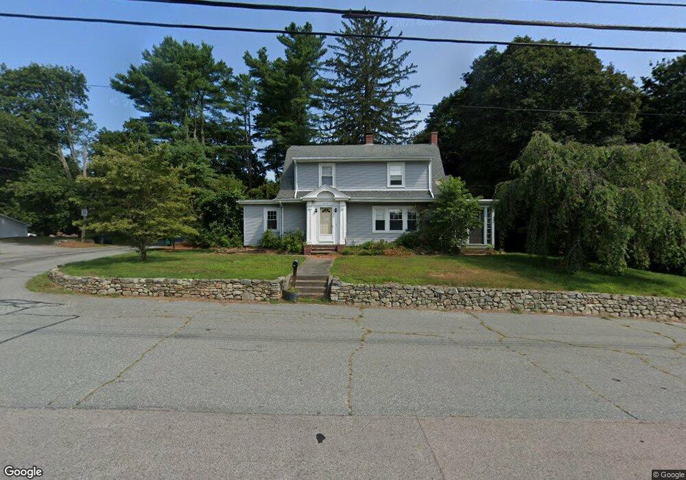
391 Danielson Pike North Scituate, RI 02857
Estimated Value: $505,966 - $558,000
3
Beds
2
Baths
1,887
Sq Ft
$281/Sq Ft
Est. Value
About This Home
This home is located at 391 Danielson Pike, North Scituate, RI 02857 and is currently estimated at $529,992, approximately $280 per square foot. 391 Danielson Pike is a home located in Providence County with nearby schools including North Scituate School, Scituate Middle School, and Scituate High School.
Ownership History
Date
Name
Owned For
Owner Type
Purchase Details
Closed on
May 23, 2007
Sold by
Mack Renee R and Bendoim Michael
Bought by
Shearen Malinda
Current Estimated Value
Home Financials for this Owner
Home Financials are based on the most recent Mortgage that was taken out on this home.
Original Mortgage
$150,000
Outstanding Balance
$91,737
Interest Rate
6.27%
Mortgage Type
Purchase Money Mortgage
Estimated Equity
$438,255
Purchase Details
Closed on
Dec 28, 2005
Sold by
Arnold Claire E
Bought by
Mack Renee R and Bendoim Michael
Create a Home Valuation Report for This Property
The Home Valuation Report is an in-depth analysis detailing your home's value as well as a comparison with similar homes in the area
Home Values in the Area
Average Home Value in this Area
Purchase History
| Date | Buyer | Sale Price | Title Company |
|---|---|---|---|
| Shearen Malinda | $335,000 | -- | |
| Mack Renee R | $330,000 | -- |
Source: Public Records
Mortgage History
| Date | Status | Borrower | Loan Amount |
|---|---|---|---|
| Open | Mack Renee R | $12,500 | |
| Open | Mack Renee R | $150,000 | |
| Previous Owner | Mack Renee R | $270,000 | |
| Previous Owner | Mack Renee R | $54,000 |
Source: Public Records
Tax History Compared to Growth
Tax History
| Year | Tax Paid | Tax Assessment Tax Assessment Total Assessment is a certain percentage of the fair market value that is determined by local assessors to be the total taxable value of land and additions on the property. | Land | Improvement |
|---|---|---|---|---|
| 2025 | $6,440 | $371,600 | $117,300 | $254,300 |
| 2024 | $6,440 | $371,600 | $117,300 | $254,300 |
| 2023 | $6,228 | $371,600 | $117,300 | $254,300 |
| 2022 | $6,087 | $371,600 | $117,300 | $254,300 |
| 2021 | $5,805 | $310,600 | $94,300 | $216,300 |
| 2020 | $5,675 | $310,600 | $94,300 | $216,300 |
| 2019 | $5,557 | $310,600 | $94,300 | $216,300 |
| 2018 | $4,353 | $224,500 | $60,500 | $164,000 |
| 2017 | $4,225 | $224,500 | $60,500 | $164,000 |
| 2016 | $4,050 | $224,500 | $60,500 | $164,000 |
| 2015 | $3,934 | $205,300 | $53,500 | $151,800 |
| 2014 | $3,897 | $205,300 | $53,500 | $151,800 |
Source: Public Records
Map
Nearby Homes
- 67 Dexter Rd
- 0 Dexter Rd
- 58 Highland Terrace
- 94 Quaker Ln
- 86 Central Pike
- 255 Rockland Rd
- 389 Elmdale Rd
- 0 Quaker Ln
- 219-221 Peeptoad Rd
- 0 Rocky Hill Rd Unit 1401626
- 219 Peeptoad Rd
- 278 Central Pike
- 261 Quaker Ln
- 737 Danielson Pike
- 0 Country View Ln
- 785 Danielson Pike
- 27 Sunnybrook Rd
- 46 Woodsong Dr
- 169 Central Ave
- 196 William Henry Rd
- 638 Elmdale Rd
- 637 Elmdale Rd
- 401 Danielson Pike
- 634 Elmdale Rd
- 402 Danielson Pike
- 411 Danielson Pike
- 633 Elmdale Rd
- 626 Elmdale Rd
- 631 Elmdale Rd
- 25 Rockland Rd
- 419 Danielson Pike
- 621 Elmdale Rd
- 368 Danielson Pike
- 31 Rockland Rd
- 425 Danielson Pike
- 10 Mountain Laurel Ln
- 13 Mountain Laurel Ln
- 43 Rockland Rd
- 433 Danielson Pike
- 11 Dexter Rd