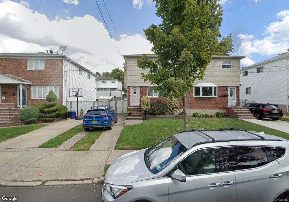
391 Doane Ave Staten Island, NY 10308
Great Kills NeighborhoodEstimated Value: $677,671 - $726,000
3
Beds
2
Baths
1,312
Sq Ft
$540/Sq Ft
Est. Value
About This Home
This home is located at 391 Doane Ave, Staten Island, NY 10308 and is currently estimated at $707,918, approximately $539 per square foot. 391 Doane Ave is a home located in Richmond County with nearby schools including P.S. 32 The Gifford School, I.S. 075 Frank D. Paulo, and Susan E Wagner High School.
Ownership History
Date
Name
Owned For
Owner Type
Purchase Details
Closed on
Sep 10, 2009
Sold by
Schrell Marie
Bought by
Campanella Steven A
Current Estimated Value
Home Financials for this Owner
Home Financials are based on the most recent Mortgage that was taken out on this home.
Original Mortgage
$308,500
Interest Rate
5.09%
Mortgage Type
New Conventional
Create a Home Valuation Report for This Property
The Home Valuation Report is an in-depth analysis detailing your home's value as well as a comparison with similar homes in the area
Home Values in the Area
Average Home Value in this Area
Purchase History
| Date | Buyer | Sale Price | Title Company |
|---|---|---|---|
| Campanella Steven A | $397,500 | The Judicial Title Insurance |
Source: Public Records
Mortgage History
| Date | Status | Borrower | Loan Amount |
|---|---|---|---|
| Previous Owner | Campanella Steven A | $308,500 |
Source: Public Records
Tax History Compared to Growth
Tax History
| Year | Tax Paid | Tax Assessment Tax Assessment Total Assessment is a certain percentage of the fair market value that is determined by local assessors to be the total taxable value of land and additions on the property. | Land | Improvement |
|---|---|---|---|---|
| 2025 | $5,966 | $38,160 | $7,727 | $30,433 |
| 2024 | $5,978 | $38,640 | $7,631 | $31,009 |
| 2023 | $5,980 | $30,845 | $7,241 | $23,604 |
| 2022 | $5,527 | $33,300 | $9,480 | $23,820 |
| 2021 | $5,479 | $30,060 | $9,480 | $20,580 |
| 2020 | $5,191 | $25,920 | $9,480 | $16,440 |
| 2019 | $5,391 | $27,600 | $9,480 | $18,120 |
| 2018 | $4,942 | $25,704 | $8,042 | $17,662 |
| 2017 | $4,674 | $24,400 | $8,220 | $16,180 |
| 2016 | $4,568 | $24,400 | $9,071 | $15,329 |
| 2015 | $4,040 | $23,999 | $7,542 | $16,457 |
| 2014 | $4,040 | $22,641 | $7,343 | $15,298 |
Source: Public Records
Map
Nearby Homes
- 345 Colon Ave
- 414 Elverton Ave
- 72 Eric Ln
- 259 Brookfield Ave
- 339 Abingdon Ave
- 307 Abingdon Ave
- 350 Brookfield Ave
- 271 Doane Ave
- 466 Doane Ave
- 87 Pemberton Ave
- 379 Brookfield Ave
- 185 Brookfield Ave
- 26 E Brandis Ave
- 248 Abingdon Ave
- 200 Giffords Ln
- 919 Armstrong Ave
- 223 Abingdon Ave
- 132 Elkhart St
- 168 Leverett Ave
- 74 E Brandis Ave
- 389 Doane Ave
- 393 Doane Ave
- 397 Doane Ave
- 387 Doane Ave
- 383 Doane Ave
- 399 Doane Ave
- 396 Elverton Ave
- 394 Elverton Ave
- 400 Elverton Ave
- 390 Elverton Ave
- 402 Elverton Ave
- 379 Doane Ave
- 403 Doane Ave
- 388 Elverton Ave
- 406 Elverton Ave
- 375 Doane Ave
- 405 Doane Ave
- 384 Elverton Ave
- 408 Elverton Ave
- 392 Doane Ave