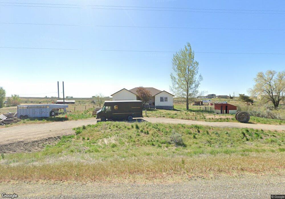
391 E Highway 26 Shoshone, ID 83352
Estimated Value: $344,000 - $467,000
4
Beds
--
Bath
1,812
Sq Ft
$219/Sq Ft
Est. Value
About This Home
This home is located at 391 E Highway 26, Shoshone, ID 83352 and is currently estimated at $396,078, approximately $218 per square foot. 391 E Highway 26 is a home with nearby schools including Shoshone Elementary School and Shoshone High School.
Ownership History
Date
Name
Owned For
Owner Type
Purchase Details
Closed on
Jan 14, 2022
Sold by
Secretary/Housing & Urban Dev
Bought by
Batz Zachary and Batz Jessica
Current Estimated Value
Home Financials for this Owner
Home Financials are based on the most recent Mortgage that was taken out on this home.
Original Mortgage
$204,000
Outstanding Balance
$188,096
Interest Rate
3.45%
Mortgage Type
New Conventional
Estimated Equity
$207,982
Purchase Details
Closed on
Feb 9, 2021
Sold by
Shellpoint Mortgage Servicing and Newrez Llc
Bought by
Secretary/Housing & Urban Dev
Purchase Details
Closed on
Jan 26, 2021
Sold by
Ditech Financial Llc and Wise Debra B
Bought by
John Lawrence and Urrutia Patty G
Purchase Details
Closed on
Dec 18, 2019
Sold by
Wise Donald W and Wise Debra B
Bought by
Number Cili
Purchase Details
Closed on
Oct 17, 2014
Create a Home Valuation Report for This Property
The Home Valuation Report is an in-depth analysis detailing your home's value as well as a comparison with similar homes in the area
Purchase History
| Date | Buyer | Sale Price | Title Company |
|---|---|---|---|
| Batz Zachary | -- | First American Title | |
| Secretary/Housing & Urban Dev | -- | New Title Company Name | |
| John Lawrence | $216,841 | None Listed On Document | |
| Number Cili | -- | None Available | |
| -- | -- | First American Title-Jerome |
Source: Public Records
Mortgage History
| Date | Status | Borrower | Loan Amount |
|---|---|---|---|
| Open | Batz Zachary | $204,000 |
Source: Public Records
Tax History
| Year | Tax Paid | Tax Assessment Tax Assessment Total Assessment is a certain percentage of the fair market value that is determined by local assessors to be the total taxable value of land and additions on the property. | Land | Improvement |
|---|---|---|---|---|
| 2025 | $1,432 | $388,850 | $53,980 | $334,870 |
| 2024 | $2,210 | $388,850 | $53,980 | $334,870 |
| 2023 | $2,210 | $396,630 | $53,980 | $342,650 |
| 2022 | $1,796 | $259,810 | $51,250 | $208,560 |
| 2021 | $1,814 | $238,960 | $42,750 | $196,210 |
| 2020 | $1,605 | $202,860 | $38,210 | $164,650 |
| 2019 | $1,562 | $172,850 | $40,460 | $132,390 |
| 2015 | $1,363 | $0 | $0 | $0 |
| 2014 | $1,424 | $0 | $0 | $0 |
| 2013 | $751 | $0 | $0 | $0 |
| 2011 | $782 | $0 | $0 | $0 |
Source: Public Records
Map
Nearby Homes
- 24 Harris Cir
- 678 E Highway 26
- 218 E 10 N
- TBD S 225 E
- 140 Syringa Loop
- 180 S 550 E (Approx )
- 26 E Huyser Dr
- 210 E 2nd St
- 202 E 2nd St
- 522 N Apple St
- Lot 2B Tbd
- 560 U S Highway 26
- 415 N Birch St
- 218 E D Street - Lots 1-3
- 374 N 120 E
- 249 Mariposa Cir
- 253 Mariposa Cir
- 309 N Grape St
- 515 W C St
- 255 Primrose Way Unit LOT 4 BLOCK 3, GREEN
Your Personal Tour Guide
Ask me questions while you tour the home.