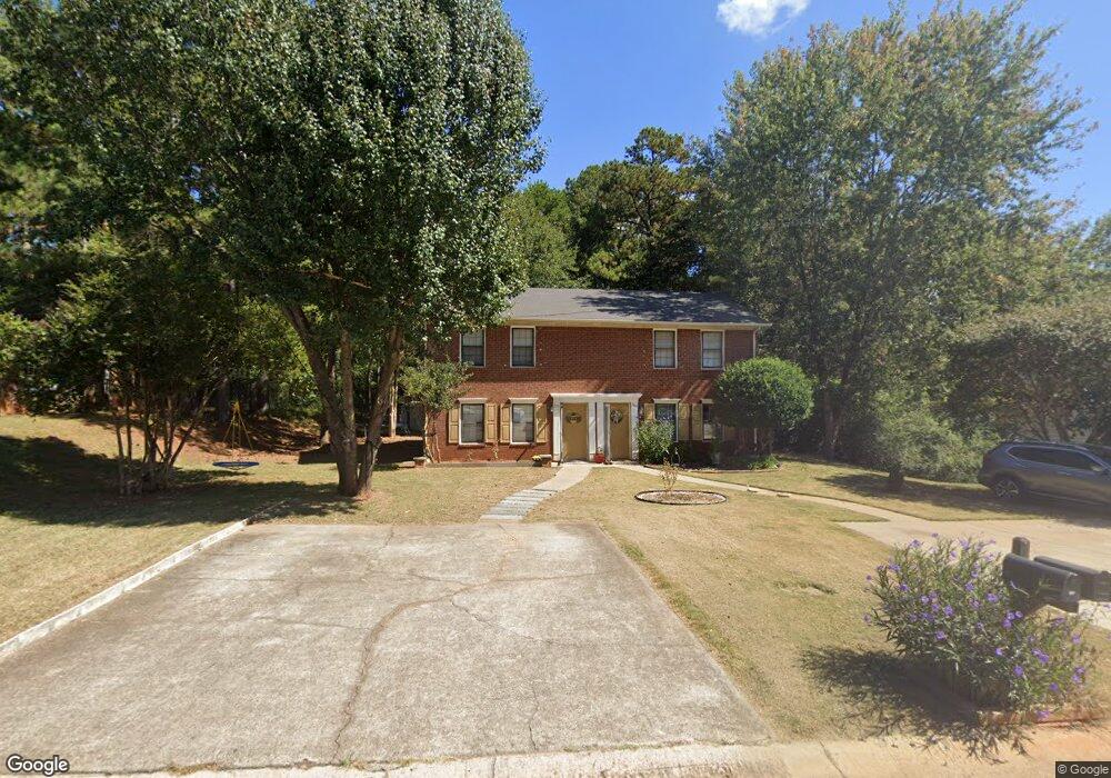
391 Freeport Dr Unit 2 Lawrenceville, GA 30046
Estimated Value: $402,000 - $583,379
4
Beds
4
Baths
2,160
Sq Ft
$209/Sq Ft
Est. Value
About This Home
This home is located at 391 Freeport Dr Unit 2, Lawrenceville, GA 30046 and is currently estimated at $451,595, approximately $209 per square foot. 391 Freeport Dr Unit 2 is a home located in Gwinnett County with nearby schools including Benefield Elementary School, Richards Middle School, and Discovery High School.
Ownership History
Date
Name
Owned For
Owner Type
Purchase Details
Closed on
Dec 28, 2023
Sold by
Deleon Robert E
Bought by
B & V Yorktown Llc
Current Estimated Value
Purchase Details
Closed on
Apr 6, 2005
Sold by
Horine Joleen M
Bought by
Deleon Robert and Deleon Valerie
Purchase Details
Closed on
Jun 30, 1997
Sold by
Beasley B L
Bought by
Perry Joleen M
Home Financials for this Owner
Home Financials are based on the most recent Mortgage that was taken out on this home.
Original Mortgage
$102,505
Interest Rate
7.92%
Mortgage Type
FHA
Create a Home Valuation Report for This Property
The Home Valuation Report is an in-depth analysis detailing your home's value as well as a comparison with similar homes in the area
Home Values in the Area
Average Home Value in this Area
Purchase History
| Date | Buyer | Sale Price | Title Company |
|---|---|---|---|
| B & V Yorktown Llc | -- | -- | |
| Deleon Robert | $138,000 | -- | |
| Perry Joleen M | $105,000 | -- |
Source: Public Records
Mortgage History
| Date | Status | Borrower | Loan Amount |
|---|---|---|---|
| Previous Owner | Perry Joleen M | $102,505 |
Source: Public Records
Tax History Compared to Growth
Tax History
| Year | Tax Paid | Tax Assessment Tax Assessment Total Assessment is a certain percentage of the fair market value that is determined by local assessors to be the total taxable value of land and additions on the property. | Land | Improvement |
|---|---|---|---|---|
| 2024 | -- | $159,320 | $18,000 | $141,320 |
| 2023 | $3,291 | $74,400 | $16,000 | $58,400 |
| 2022 | $3,231 | $74,400 | $16,000 | $58,400 |
| 2021 | $3,231 | $83,800 | $16,000 | $67,800 |
| 2020 | $2,840 | $63,280 | $12,800 | $50,480 |
| 2019 | $1,686 | $63,280 | $12,800 | $50,480 |
| 2018 | $2,730 | $63,280 | $12,800 | $50,480 |
| 2016 | $1,673 | $32,000 | $9,600 | $22,400 |
| 2015 | $1,686 | $32,000 | $6,800 | $25,200 |
| 2014 | -- | $26,640 | $4,800 | $21,840 |
Source: Public Records
Map
Nearby Homes
- 399 Freeport Dr
- 381 Freeport Dr
- 401 Freeport Dr
- 379 Freeport Dr
- 379 Freeport Dr Unit 381
- 379 Freeport Dr
- 388 Freeport Dr
- 388 Waterbury Dr
- 371 Freeport Dr
- 411 Freeport Dr
- 398 Waterbury Dr
- 378 Waterbury Dr
- 349351 Freeport Dr
- 298300 Freeport Dr
- 390 Freeport Dr
- 400 Freeport Dr
- 380 Freeport Dr
- 408 Waterbury Dr
- 368 Waterbury Dr
- 0 Waterbury Dr