Estimated Value: $600,000 - $726,921
3
Beds
3
Baths
3,090
Sq Ft
$215/Sq Ft
Est. Value
About This Home
This home is located at 391 Frog Rd, Alto, GA 30510 and is currently estimated at $663,461, approximately $214 per square foot. 391 Frog Rd is a home located in Habersham County with nearby schools including Level Grove Elementary School, South Habersham Middle School, and Habersham Success Academy.
Ownership History
Date
Name
Owned For
Owner Type
Purchase Details
Closed on
Mar 13, 2014
Sold by
Spears Michael
Bought by
Spears Michael D and Spears Monica
Current Estimated Value
Home Financials for this Owner
Home Financials are based on the most recent Mortgage that was taken out on this home.
Original Mortgage
$304,500
Outstanding Balance
$89,471
Interest Rate
4.3%
Mortgage Type
New Conventional
Estimated Equity
$573,990
Purchase Details
Closed on
Oct 1, 2007
Sold by
Not Provided
Bought by
White Randall Jason and Spears Michael
Create a Home Valuation Report for This Property
The Home Valuation Report is an in-depth analysis detailing your home's value as well as a comparison with similar homes in the area
Home Values in the Area
Average Home Value in this Area
Purchase History
| Date | Buyer | Sale Price | Title Company |
|---|---|---|---|
| Spears Michael D | -- | -- | |
| White Randall Jason | -- | -- | |
| White Randall Jason | -- | -- |
Source: Public Records
Mortgage History
| Date | Status | Borrower | Loan Amount |
|---|---|---|---|
| Open | Spears Michael D | $304,500 | |
| Closed | Spears Michael D | $304,500 |
Source: Public Records
Tax History Compared to Growth
Tax History
| Year | Tax Paid | Tax Assessment Tax Assessment Total Assessment is a certain percentage of the fair market value that is determined by local assessors to be the total taxable value of land and additions on the property. | Land | Improvement |
|---|---|---|---|---|
| 2025 | $3,449 | $404,523 | $103,110 | $301,413 |
| 2024 | -- | $276,512 | $106,596 | $169,916 |
| 2023 | $2,439 | $234,332 | $106,596 | $127,736 |
| 2022 | $2,134 | $155,660 | $68,900 | $86,760 |
| 2021 | $1,884 | $143,428 | $66,036 | $77,392 |
| 2020 | $1,802 | $115,244 | $48,428 | $66,816 |
| 2019 | $1,800 | $115,244 | $48,428 | $66,816 |
| 2018 | $1,788 | $115,244 | $48,428 | $66,816 |
| 2017 | $1,716 | $109,940 | $48,428 | $61,512 |
| 2016 | $1,660 | $165,360 | $48,428 | $61,512 |
| 2015 | $1,637 | $165,040 | $48,428 | $61,512 |
| 2014 | $1,648 | $161,980 | $48,428 | $60,416 |
| 2013 | -- | $108,844 | $48,428 | $60,416 |
Source: Public Records
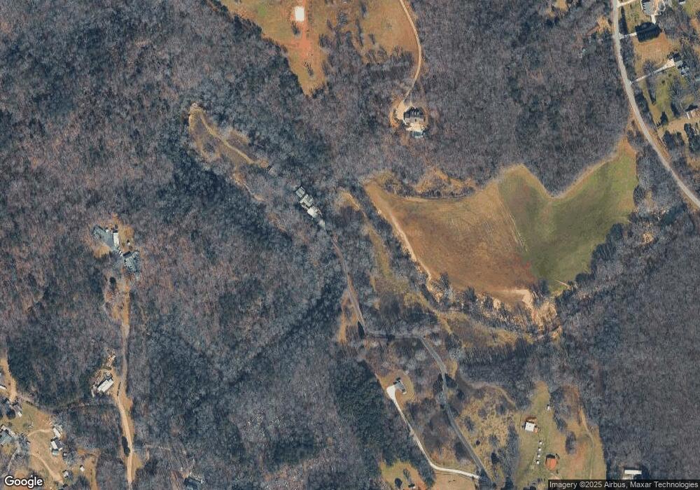
Map
Nearby Homes
- 2000 Alto Mud Creek Rd
- 306 Travis Pless Rd
- 1307 Creasy Patch Rd
- 425 Crystal Way
- 738 Wilbanks Rd
- 1331 Garrison Rd
- 752 Dawn Place
- 1085 Smokey Rd
- 324 Highland Pointe Dr
- 933 Alto Mud Creek Rd
- 1.73 ACRES TR3 Garrison Rd
- 1.18 ACRES Garrison Rd
- 1.70 ACRES Garrison Rd
- 2.16 ACRES Garrison Rd
- 3568 State Route 365
- 0 Coon Creek Rd Unit 9363214
- 140 Highland Pointe Dr
- 310 Georgian Terrace
- 255 Laurel Place Dr
- 0 State Route 365 Unit 10496178
- 260 J D Norton Rd
- 264 J D Norton Rd
- 348 J D Norton Rd
- 2621 Alto Mud Creek Rd
- 555 Payne Norton Rd
- 555 Payne Norton Rd
- 555 Payne Norton Rd
- 331 J D Norton Rd
- 403 Payne Norton Rd
- 329 Payne Norton Rd
- 137 J D Norton Rd
- 137 J D Norton Rd
- 821 Payne Norton Rd
- 2689 Alto Mud Creek Rd
- 2630 Alto Mud Creek Rd
- 546 Payne Norton Rd
- 2807 Alto Mud Creek Rd
- 2807 Alto Mud Creek Rd
- 2616 Alto Mud Creek Rd
- 171 Grogan Rd