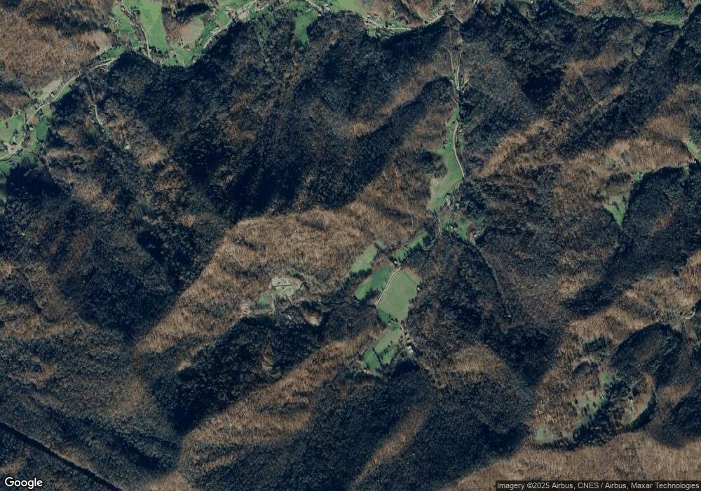
391 Hensley Branch Rd Burnsville, NC 28714
Estimated Value: $522,000 - $693,000
3
Beds
3
Baths
3,024
Sq Ft
$204/Sq Ft
Est. Value
About This Home
This home is located at 391 Hensley Branch Rd, Burnsville, NC 28714 and is currently estimated at $615,591, approximately $203 per square foot. 391 Hensley Branch Rd is a home with nearby schools including Mountain Heritage High School.
Ownership History
Date
Name
Owned For
Owner Type
Purchase Details
Closed on
Dec 10, 2021
Sold by
Smith Dale Clarence
Bought by
Smith Dale Clarence
Current Estimated Value
Home Financials for this Owner
Home Financials are based on the most recent Mortgage that was taken out on this home.
Original Mortgage
$600,000
Interest Rate
3.1%
Purchase Details
Closed on
Mar 21, 2013
Sold by
Bohres Sherry Corbin
Bought by
Bohres Sherry Corbin and Bohres Robert A
Purchase Details
Closed on
Mar 11, 2013
Sold by
Corbin Russell Scott and Corbin Angela
Bought by
Bohres Sherry Crobin
Purchase Details
Closed on
Dec 29, 2000
Bought by
Bohres Sherry C and Robert Aq
Create a Home Valuation Report for This Property
The Home Valuation Report is an in-depth analysis detailing your home's value as well as a comparison with similar homes in the area
Home Values in the Area
Average Home Value in this Area
Purchase History
| Date | Buyer | Sale Price | Title Company |
|---|---|---|---|
| Smith Dale Clarence | -- | -- | |
| Bohres Sherry Corbin | -- | None Available | |
| Bohres Sherry Crobin | -- | None Available | |
| Bohres Sherry C | -- | -- |
Source: Public Records
Mortgage History
| Date | Status | Borrower | Loan Amount |
|---|---|---|---|
| Previous Owner | Smith Dale Clarence | $600,000 |
Source: Public Records
Tax History Compared to Growth
Tax History
| Year | Tax Paid | Tax Assessment Tax Assessment Total Assessment is a certain percentage of the fair market value that is determined by local assessors to be the total taxable value of land and additions on the property. | Land | Improvement |
|---|---|---|---|---|
| 2025 | $2,719 | $477,000 | $86,600 | $390,400 |
| 2024 | $2,719 | $477,000 | $86,600 | $390,400 |
| 2023 | $1,350 | $207,660 | $31,200 | $176,460 |
| 2022 | $1,323 | $207,660 | $31,200 | $176,460 |
| 2021 | $1,350 | $207,660 | $31,200 | $176,460 |
| 2020 | $1,350 | $207,660 | $31,200 | $176,460 |
| 2019 | $1,350 | $207,660 | $31,200 | $176,460 |
| 2018 | $1,350 | $207,660 | $31,200 | $176,460 |
| 2017 | $1,350 | $207,660 | $31,200 | $176,460 |
| 2016 | $1,350 | $207,660 | $31,200 | $176,460 |
| 2015 | $1,181 | $214,760 | $26,200 | $188,560 |
| 2014 | $1,181 | $214,760 | $26,200 | $188,560 |
Source: Public Records
Map
Nearby Homes
- 469 Hensley Branch Rd
- 79 & 111 Hensley Branch Rd
- 79 & 111 Hensley Branch Roads
- 0000 Bee Log Rd
- 1393 Bald Mountain Rd
- TBD Butter Sop Rd
- 1099 Silas Branch Rd
- 718 Bald Mountain Rd
- 689 Bald Mountain Rd
- 3065 Piney Hill Rd
- 151 Thunderstruck Ridge
- 1592 Piney Hill Rd
- #3 TBD Lotties Creek Rd Unit Lots 37, 42
- #2 TBD Lotties Creek Rd Unit Lots 19, 20, 23,25,2
- #1 TBD Lotties Creek Rd Unit Lot 8, 39, 40, 41, 4
- 1905 Little Creek Rd
- 1375 Swing Rd
- 141 Locust Ramp Dr
- 000 Lost Hollow Rd
- 99999 Windswept Dr
- 337 Hensley Branch Rd
- 540 Hensley Branch Rd
- 255 Hensley Branch Rd
- 940 Hensley Branch Rd
- 198 Hensley Branch Rd
- TBD Bee Log Rd
- 90 Hensley Branch Rd
- 000 Bee Log Rd
- 78 Hensley Branch Rd
- 1350 Bee Log Rd
- 1041 Bee Log Rd
- 793 Bee Log Rd
- 929 Bee Log Rd
- 1456 Bee Log Rd
- 1526 Bee Log Rd
- 181 White Flower Dr
- 593 Bee Log Rd
- 584 Bee Log Rd
- 1573 Bee Log Rd
- 1125 Bee Log Rd
