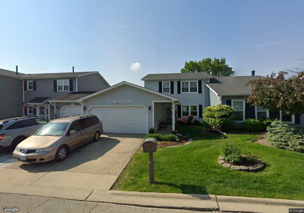
391 Hilton Dr Glendale Heights, IL 60139
Estimated Value: $280,000 - $293,000
3
Beds
3
Baths
1,296
Sq Ft
$222/Sq Ft
Est. Value
About This Home
This home is located at 391 Hilton Dr, Glendale Heights, IL 60139 and is currently estimated at $288,113, approximately $222 per square foot. 391 Hilton Dr is a home located in DuPage County with nearby schools including Marquardt Middle School, Glenbard East High School, and St Matthew School.
Ownership History
Date
Name
Owned For
Owner Type
Purchase Details
Closed on
May 12, 1994
Sold by
Cairo Renee
Bought by
Czischki Timothy and Czischki Marianne
Current Estimated Value
Home Financials for this Owner
Home Financials are based on the most recent Mortgage that was taken out on this home.
Original Mortgage
$96,400
Outstanding Balance
$50,120
Interest Rate
8.08%
Estimated Equity
$237,993
Create a Home Valuation Report for This Property
The Home Valuation Report is an in-depth analysis detailing your home's value as well as a comparison with similar homes in the area
Home Values in the Area
Average Home Value in this Area
Purchase History
| Date | Buyer | Sale Price | Title Company |
|---|---|---|---|
| Czischki Timothy | $101,500 | -- | |
| Hawkins Renee | -- | -- |
Source: Public Records
Mortgage History
| Date | Status | Borrower | Loan Amount |
|---|---|---|---|
| Open | Czischki Timothy | $96,400 |
Source: Public Records
Tax History Compared to Growth
Tax History
| Year | Tax Paid | Tax Assessment Tax Assessment Total Assessment is a certain percentage of the fair market value that is determined by local assessors to be the total taxable value of land and additions on the property. | Land | Improvement |
|---|---|---|---|---|
| 2024 | $6,671 | $80,427 | $14,139 | $66,288 |
| 2023 | $6,215 | $73,550 | $12,930 | $60,620 |
| 2022 | $5,883 | $64,500 | $12,450 | $52,050 |
| 2021 | $5,770 | $61,280 | $11,830 | $49,450 |
| 2020 | $5,438 | $59,780 | $11,540 | $48,240 |
| 2019 | $5,222 | $57,450 | $11,090 | $46,360 |
| 2018 | $4,876 | $49,840 | $10,800 | $39,040 |
| 2017 | $4,647 | $46,190 | $10,010 | $36,180 |
| 2016 | $4,403 | $42,740 | $9,260 | $33,480 |
| 2015 | $4,301 | $39,880 | $8,640 | $31,240 |
| 2014 | $3,949 | $36,890 | $8,640 | $28,250 |
| 2013 | $3,981 | $38,160 | $8,940 | $29,220 |
Source: Public Records
Map
Nearby Homes
- 2155 College Dr Unit 7
- 203 College Dr Unit C
- 253 Sterling Ln
- 224 Oakwood Ln
- 175 N Waters Edge Dr Unit 201
- 161 N Waters Edge Dr Unit 202
- 201 N Waters Edge Dr Unit 101
- 162 S Waters Edge Dr Unit 301
- 279 Blue Spruce Ln
- 2257 Lake Ridge Dr Unit 74
- 186 Dunteman Dr Unit 301
- 181 Lakeview Ct
- 1943 Towner Ln
- 1941 Aspen Ln
- 195 Duxbury Ct Unit D
- 120 Brewster Ct Unit D
- 133 Harding Ct
- 135 Fairlane Ct Unit B
- 300 Starling Ct Unit A
- 1900 Basswood Ln
- 389 Hilton Dr
- 393 Hilton Dr
- 387 Hilton Dr
- 383 Hilton Dr
- 390 Hilton Dr Unit 5
- 388 Hilton Dr Unit 5
- 386 Hilton Dr
- 2170 Payson Cir Unit 7
- 392 Hilton Dr
- 384 Hilton Dr Unit 5
- 382 Hilton Dr
- 2168 Payson Cir
- 2169 Wyatt Ln
- 2169 Payson Cir
- 380 Hilton Dr
- 2166 Payson Cir Unit 7
- 2167 Wyatt Ln
- 2163 Wyatt Ln
- 2167 Payson Cir
- 365 Payson Cir