391 Maloney Rd Elkton, MD 21921
Estimated Value: $251,000 - $361,214
--
Bed
2
Baths
2,472
Sq Ft
$129/Sq Ft
Est. Value
About This Home
This home is located at 391 Maloney Rd, Elkton, MD 21921 and is currently estimated at $319,804, approximately $129 per square foot. 391 Maloney Rd is a home located in Cecil County with nearby schools including Holly Hall Elementary School, Bohemia Manor Middle School, and Bohemia Manor High School.
Ownership History
Date
Name
Owned For
Owner Type
Purchase Details
Closed on
Aug 31, 2017
Sold by
Guns Francis W and Guns John J
Bought by
Guns Anne H and Guns Francis W
Current Estimated Value
Home Financials for this Owner
Home Financials are based on the most recent Mortgage that was taken out on this home.
Original Mortgage
$120,573
Outstanding Balance
$100,606
Interest Rate
3.87%
Mortgage Type
FHA
Estimated Equity
$219,198
Purchase Details
Closed on
Jul 8, 2004
Sold by
Guns Francis W and Guns Alda C.
Bought by
Guns Francis W Sr and Guns Alda C
Create a Home Valuation Report for This Property
The Home Valuation Report is an in-depth analysis detailing your home's value as well as a comparison with similar homes in the area
Home Values in the Area
Average Home Value in this Area
Purchase History
| Date | Buyer | Sale Price | Title Company |
|---|---|---|---|
| Guns Anne H | $158,000 | Kirsh Title Services | |
| Guns Francis W Sr | $84,000 | -- |
Source: Public Records
Mortgage History
| Date | Status | Borrower | Loan Amount |
|---|---|---|---|
| Open | Guns Anne H | $120,573 |
Source: Public Records
Tax History Compared to Growth
Tax History
| Year | Tax Paid | Tax Assessment Tax Assessment Total Assessment is a certain percentage of the fair market value that is determined by local assessors to be the total taxable value of land and additions on the property. | Land | Improvement |
|---|---|---|---|---|
| 2025 | $2,656 | $237,200 | $0 | $0 |
| 2024 | $2,183 | $226,000 | $107,900 | $118,100 |
| 2023 | $1,842 | $224,700 | $0 | $0 |
| 2022 | $2,576 | $223,400 | $0 | $0 |
| 2021 | $2,524 | $222,100 | $107,900 | $114,200 |
| 2020 | $5,009 | $215,333 | $0 | $0 |
| 2019 | $2,466 | $208,567 | $0 | $0 |
| 2018 | $2,388 | $201,800 | $122,900 | $78,900 |
| 2017 | $2,381 | $201,267 | $0 | $0 |
| 2016 | $2,268 | $200,733 | $0 | $0 |
| 2015 | $2,268 | $200,200 | $0 | $0 |
| 2014 | $2,266 | $200,200 | $0 | $0 |
Source: Public Records
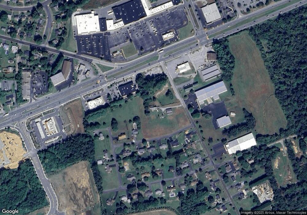
Map
Nearby Homes
- 0 Delaware Ave Unit MDCC2018992
- 0 E Pulaski Hwy
- 4 Saint Pats Cir
- 112 Courtney Dr
- 114 Saint Louis Dr
- 106 Normira Ave
- 155 E Village Rd
- 182 E Village Rd
- 124 Michaels Way
- Juniper Plan at Gray Mount Commons
- 113 Michaels Way
- 114 Creswell Ave
- 606 Gray Mount Cir
- 520 Saint Charles St
- 413 Gray Mount Cir
- 103 State St
- 112 Ben Blvd
- 6 Shade Tree Ln
- 206 Whitehall Rd
- 23 Hatteras Ct
- 411 Maloney Rd
- 63 Alda Dr
- 732 E Pulaski Hwy
- 728 E Pulaski Hwy
- 75 Alda Dr
- 40 Alda Dr
- 410 Maloney Rd
- 50 Alda Dr
- 375 Maloney Rd
- 30 Alda Dr
- 10 Maloney Rd
- 800 E Pulaski Hwy
- 60 Alda Dr
- 76 Alda Dr
- 0 Delaware Ave Unit 1000201594
- 0 Delaware Ave Unit 1007060214
- 0 Delaware Ave Unit 1006885984
- 0 Delaware Ave Unit 1006861842
- 0 Delaware Ave Unit 1000106061
- 0 Delaware Ave Unit CC10032624