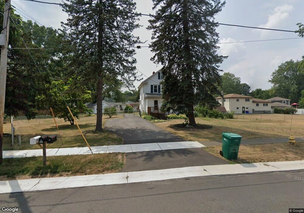
391 Mccall Rd Rochester, NY 14616
Estimated Value: $208,000 - $242,000
3
Beds
1
Bath
1,576
Sq Ft
$141/Sq Ft
Est. Value
About This Home
This home is located at 391 Mccall Rd, Rochester, NY 14616 and is currently estimated at $222,429, approximately $141 per square foot. 391 Mccall Rd is a home located in Monroe County with nearby schools including Greece Community Early Learning Center, Longridge Elementary School, and Odyssey Academy.
Ownership History
Date
Name
Owned For
Owner Type
Purchase Details
Closed on
Jul 9, 2025
Sold by
Gallagher Rebecca M and Weber Rebecca
Bought by
Striks Matthew and Mason Mckenna
Current Estimated Value
Home Financials for this Owner
Home Financials are based on the most recent Mortgage that was taken out on this home.
Original Mortgage
$231,800
Outstanding Balance
$231,407
Interest Rate
6.85%
Mortgage Type
New Conventional
Estimated Equity
-$8,978
Create a Home Valuation Report for This Property
The Home Valuation Report is an in-depth analysis detailing your home's value as well as a comparison with similar homes in the area
Home Values in the Area
Average Home Value in this Area
Purchase History
| Date | Buyer | Sale Price | Title Company |
|---|---|---|---|
| Striks Matthew | $244,000 | Abar Abstract | |
| Striks Matthew | $244,000 | Abar Abstract |
Source: Public Records
Mortgage History
| Date | Status | Borrower | Loan Amount |
|---|---|---|---|
| Open | Striks Matthew | $231,800 | |
| Closed | Striks Matthew | $231,800 |
Source: Public Records
Tax History
| Year | Tax Paid | Tax Assessment Tax Assessment Total Assessment is a certain percentage of the fair market value that is determined by local assessors to be the total taxable value of land and additions on the property. | Land | Improvement |
|---|---|---|---|---|
| 2024 | $4,938 | $112,100 | $18,000 | $94,100 |
| 2023 | $4,733 | $112,100 | $18,000 | $94,100 |
| 2022 | $4,635 | $97,500 | $20,000 | $77,500 |
| 2021 | $4,631 | $97,500 | $20,000 | $77,500 |
| 2020 | $3,916 | $97,500 | $20,000 | $77,500 |
| 2019 | $3,611 | $97,500 | $20,000 | $77,500 |
| 2018 | $3,702 | $93,000 | $20,000 | $73,000 |
| 2017 | $1,527 | $93,000 | $20,000 | $73,000 |
| 2016 | $3,611 | $93,000 | $20,000 | $73,000 |
| 2015 | -- | $93,000 | $20,000 | $73,000 |
| 2014 | -- | $93,000 | $20,000 | $73,000 |
Source: Public Records
Map
Nearby Homes
- 40 Chad Cir
- 77 Lyncrest Dr
- 260 Arlidge Dr
- 208 Mount Ridge Cir
- 219 Carlisle St
- 216 Mac Arthur Rd
- 62 Benwell Rd
- 1010 Stone Rd
- 153 Carlisle St
- 19 Mac Arthur Rd
- 2351 Dewey Ave
- 46 Maynard St
- 49 Brownstone Ln Unit PVT
- 41 Maynard St
- 50 Florida Ave
- 87 Christian Ave
- 20 Florida Ave
- 63 Dorothy Ave
- 466 True Hickory Dr
- 57 Ross St
Your Personal Tour Guide
Ask me questions while you tour the home.