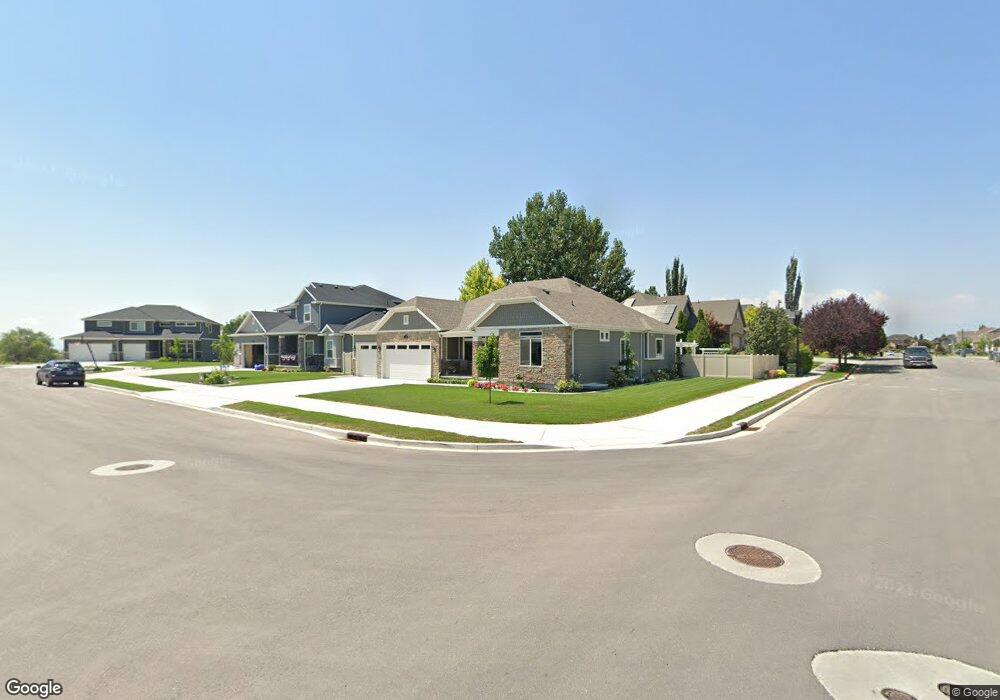
391 N 1260 E American Fork, UT 84003
Estimated Value: $718,000 - $1,020,000
3
Beds
3
Baths
2,164
Sq Ft
$400/Sq Ft
Est. Value
About This Home
This home is located at 391 N 1260 E, American Fork, UT 84003 and is currently estimated at $865,034, approximately $399 per square foot. 391 N 1260 E is a home with nearby schools including Barratt Elementary School, American Fork Junior High School, and American Fork High School.
Create a Home Valuation Report for This Property
The Home Valuation Report is an in-depth analysis detailing your home's value as well as a comparison with similar homes in the area
Home Values in the Area
Average Home Value in this Area
Tax History Compared to Growth
Tax History
| Year | Tax Paid | Tax Assessment Tax Assessment Total Assessment is a certain percentage of the fair market value that is determined by local assessors to be the total taxable value of land and additions on the property. | Land | Improvement |
|---|---|---|---|---|
| 2025 | $3,793 | $453,805 | $264,200 | $560,900 |
| 2024 | $3,793 | $421,410 | $0 | $0 |
| 2023 | $3,574 | $421,025 | $0 | $0 |
| 2022 | $3,784 | $439,890 | $0 | $0 |
| 2021 | $3,318 | $602,400 | $185,000 | $417,400 |
| 2020 | $3,230 | $568,800 | $171,300 | $397,500 |
| 2019 | $2,860 | $520,900 | $164,000 | $356,900 |
Source: Public Records
Map
Nearby Homes
- 2254 N 1560 W
- 598 N 1280 E
- 1121 E 580 N
- 649 N 1280 E
- 636 N 1280 E
- 1141 E 50 N
- 1320 W 1340 N
- 980 W 1800 N
- 170 N 825 E
- 1171 N 1430 W
- 1897 N 900 W
- 435 N 800 E
- 1879 W 1100 N
- Lytham Plan at Grove Acres
- 1498 W 1060 N Unit 5
- 290 Chipman Ave
- 1096 N 1420 St W Unit 27
- 1541 W 1060 N
- 1065 N 1420 W
- 1515 W 1010 St N
- 377 N 1260 E
- 1234 E 400 N
- 1234 E 400 N Unit 1
- 1234 E 400 N Unit 322
- 374 N 1200 E
- 388 N 1260 E
- 408 N 1250 E
- 1262 E 400 N Unit 217
- 363 N 1260 E
- 1235 E 400 N
- 398 N 1200 E
- 398 N 1200 E Unit 2
- 386 N Kimberly Cir
- 386 N 1200 E
- 376 N 1260 E
- 405 N 1290 E
- 428 N 1250 E
- 1217 E 400 N
- 362 N 1200 E
- 352 N 1260 E Unit 208