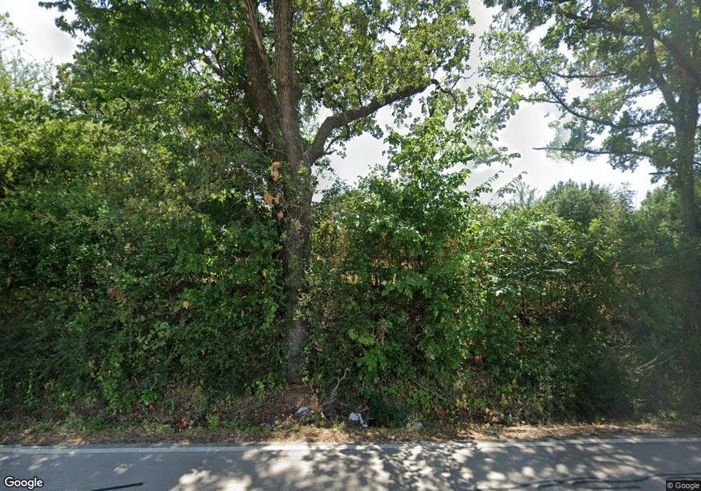
391 Newt Patterson Rd Mansfield, TX 76063
Downtown Mansfield NeighborhoodEstimated Value: $245,000 - $253,095
3
Beds
1
Bath
1,280
Sq Ft
$195/Sq Ft
Est. Value
About This Home
This home is located at 391 Newt Patterson Rd, Mansfield, TX 76063 and is currently estimated at $249,048, approximately $194 per square foot. 391 Newt Patterson Rd is a home located in Tarrant County with nearby schools including Alice Ponder Elementary School, Donna Shepard Intermediate School, and Linda Jobe Middle School.
Ownership History
Date
Name
Owned For
Owner Type
Purchase Details
Closed on
Mar 6, 2003
Sold by
Eifert Cynthia Ann Ferrell
Bought by
Eifert Donald D
Current Estimated Value
Purchase Details
Closed on
Jul 3, 1996
Sold by
Gardner Diane Townley and Townley Diane
Bought by
Eifert Don and Ferrell Cindy
Create a Home Valuation Report for This Property
The Home Valuation Report is an in-depth analysis detailing your home's value as well as a comparison with similar homes in the area
Home Values in the Area
Average Home Value in this Area
Purchase History
| Date | Buyer | Sale Price | Title Company |
|---|---|---|---|
| Eifert Donald D | -- | None Available | |
| Eifert Don | -- | -- |
Source: Public Records
Mortgage History
| Date | Status | Borrower | Loan Amount |
|---|---|---|---|
| Closed | Eifert Don | $0 |
Source: Public Records
Tax History Compared to Growth
Tax History
| Year | Tax Paid | Tax Assessment Tax Assessment Total Assessment is a certain percentage of the fair market value that is determined by local assessors to be the total taxable value of land and additions on the property. | Land | Improvement |
|---|---|---|---|---|
| 2025 | $58 | $196,758 | $82,650 | $114,108 |
| 2024 | $58 | $196,758 | $82,650 | $114,108 |
| 2023 | $66 | $197,777 | $82,650 | $115,127 |
| 2022 | $2,193 | $179,559 | $52,200 | $127,359 |
| 2021 | $2,095 | $133,407 | $52,200 | $81,207 |
| 2020 | $1,928 | $127,051 | $52,200 | $74,851 |
| 2019 | $1,807 | $117,165 | $52,200 | $64,965 |
| 2018 | $97 | $57,765 | $52,200 | $5,565 |
| 2017 | $1,495 | $86,033 | $13,050 | $72,983 |
| 2016 | $1,359 | $63,113 | $13,050 | $50,063 |
| 2015 | $231 | $43,400 | $13,050 | $30,350 |
| 2014 | $231 | $43,400 | $13,050 | $30,350 |
Source: Public Records
Map
Nearby Homes
- 501 Pine Island Cir
- 519 Pine Island Cir
- 400 Clear Creek Dr
- 605 Pine Island Cir
- 907 Yellowstone Dr
- 801 Toby Trail
- 520 W Broad St
- 704 Toby Trail
- 712 Toby Trail
- 600 Alvarado St
- 501 W Kimball St
- 205 S 2nd Ave
- 816 Wilson Dr
- 824 Wilson Dr
- 242 Sayers Dr
- 741 Nightingale Cir
- 800 Imperial Way
- 1295 N Main St
- 6 Tanager Ct
- 212 Lancaster St
- 451 Newt Patterson Rd
- 715 North St
- 464 Newt Patterson Rd
- 500 Pine Island Cir
- 511 Pine Island Cir
- 513 Pine Island Cir
- 613 North St
- 502 Pine Island Cir
- 504 Pine Island Cir
- 515 Pine Island Cir
- 506 Pine Island Cir
- 718 North St
- 802 Cardinal Rd
- 510 Pine Island Cir
- 517 Pine Island Cir
- 517 Pine Island Cir
- 611 North St
- 508 Pine Island Cir
- 508 Pine Island Cir
- 461 Newt Patterson Rd
