391 Preston Rd Vinton, OH 45686
Estimated Value: $179,000 - $227,717
3
Beds
2
Baths
1,512
Sq Ft
$136/Sq Ft
Est. Value
About This Home
This home is located at 391 Preston Rd, Vinton, OH 45686 and is currently estimated at $205,929, approximately $136 per square foot. 391 Preston Rd is a home located in Gallia County with nearby schools including Vinton Elementary School.
Ownership History
Date
Name
Owned For
Owner Type
Purchase Details
Closed on
May 1, 2018
Sold by
Estate Of Larry R Angles
Bought by
Angles Linda L
Current Estimated Value
Purchase Details
Closed on
Aug 3, 1992
Bought by
Angles Larry R
Purchase Details
Closed on
Jun 30, 1992
Purchase Details
Closed on
Jun 5, 1991
Sold by
Mason Robert D
Bought by
Preston L T
Purchase Details
Closed on
Jun 1, 1991
Create a Home Valuation Report for This Property
The Home Valuation Report is an in-depth analysis detailing your home's value as well as a comparison with similar homes in the area
Home Values in the Area
Average Home Value in this Area
Purchase History
| Date | Buyer | Sale Price | Title Company |
|---|---|---|---|
| Angles Linda L | -- | None Available | |
| Angles Larry R | $10,000 | -- | |
| -- | $10,000 | -- | |
| Preston L T | $5,000 | -- | |
| -- | $5,000 | -- |
Source: Public Records
Tax History Compared to Growth
Tax History
| Year | Tax Paid | Tax Assessment Tax Assessment Total Assessment is a certain percentage of the fair market value that is determined by local assessors to be the total taxable value of land and additions on the property. | Land | Improvement |
|---|---|---|---|---|
| 2024 | $1,366 | $51,540 | $12,990 | $38,550 |
| 2023 | $1,498 | $51,540 | $12,990 | $38,550 |
| 2022 | $1,315 | $45,340 | $10,990 | $34,350 |
| 2021 | $1,658 | $45,340 | $10,990 | $34,350 |
| 2020 | $1,659 | $45,340 | $10,990 | $34,350 |
| 2019 | $1,511 | $41,510 | $9,990 | $31,520 |
| 2018 | $1,167 | $41,510 | $9,990 | $31,520 |
| 2017 | $1,182 | $41,510 | $9,990 | $31,520 |
| 2016 | $1,481 | $41,210 | $8,930 | $32,280 |
| 2015 | $1,481 | $41,210 | $8,930 | $32,280 |
| 2013 | $1,457 | $40,220 | $8,930 | $31,290 |
| 2012 | $1,457 | $40,220 | $8,930 | $31,290 |
Source: Public Records
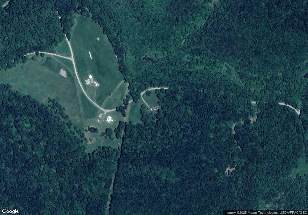
Map
Nearby Homes
- 0 Coal Valley Rd
- 0 Coal Valley Road Lot Unit Wp 002
- 1275 Sailor Rd
- 0 Deer Creek Rd
- 7710 Bull Run Rd
- 2001 Orpheus Keystone Rd
- 0 Orpheus-Keystone Rd Unit (Valley View Cabin K
- 0 Orpheus Keystone Rd Unit 25042732
- 1035 Eagle Rd
- 2001 Orpheus-Keystone Rd Unit (Eagle Landing Cabin
- 844 Hall and Davis Rd
- 8397 Keystone Furnace Rd Unit (Catch and Relax Cab
- 1176 Tick Ridge Rd
- 46400 Ohio 160
- 71210 Cox
- 0 Cox Rd
- 4131 Buckeye Hills Rd
- 11426 Ohio 588
- 3229 Painter Ridge Rd
- 3738 Centerpoint Rd
- 565 Cherry Point Rd
- 1430 Coal Valley Rd
- 919 Cherry Point Rd
- 870 Cherry Point Rd
- 0 Cherry Point Rd
- 843 Cherry Point Rd
- 843 Cherry Point Rd
- 2115 Coal Valley Rd
- 2211 Keystone Rd
- 710 Cherry Point Rd
- 31058 Edmundson Rd
- 2565 Keystone Rd
- 2565 Keystone Rd
- 769 Hartsook Rd
- 398 Cherry Point Rd
- 276 Cherry Point Rd
- 40ac Keystone Rd