391 Roth Rd Warren, VT 05674
Estimated Value: $1,207,973 - $1,338,000
4
Beds
4
Baths
3,092
Sq Ft
$412/Sq Ft
Est. Value
About This Home
This home is located at 391 Roth Rd, Warren, VT 05674 and is currently estimated at $1,272,987, approximately $411 per square foot. 391 Roth Rd is a home with nearby schools including Warren Elementary School and Waitsfield Elementary School.
Ownership History
Date
Name
Owned For
Owner Type
Purchase Details
Closed on
Feb 5, 2024
Sold by
Burfoot Maria and Roth Laurie A
Bought by
Roth Farm Llc
Current Estimated Value
Purchase Details
Closed on
Sep 12, 2023
Sold by
The Virginia V Roth Family Trust and The John H Roth Family Trust
Bought by
Roth Virginia
Purchase Details
Closed on
Jan 20, 2022
Sold by
Estate Of John H Roth
Purchase Details
Closed on
Mar 31, 2021
Sold by
Roth Virginia V
Create a Home Valuation Report for This Property
The Home Valuation Report is an in-depth analysis detailing your home's value as well as a comparison with similar homes in the area
Home Values in the Area
Average Home Value in this Area
Purchase History
| Date | Buyer | Sale Price | Title Company |
|---|---|---|---|
| Roth Farm Llc | -- | -- | |
| Roth Farm Llc | -- | -- | |
| Roth Virginia | -- | -- | |
| Roth Virginia | -- | -- | |
| Burfoot Maria | -- | -- | |
| -- | -- | -- | |
| -- | -- | -- | |
| -- | -- | -- | |
| -- | -- | -- | |
| -- | -- | -- | |
| -- | -- | -- |
Source: Public Records
Tax History
| Year | Tax Paid | Tax Assessment Tax Assessment Total Assessment is a certain percentage of the fair market value that is determined by local assessors to be the total taxable value of land and additions on the property. | Land | Improvement |
|---|---|---|---|---|
| 2024 | $15,043 | $762,200 | $336,100 | $426,100 |
| 2023 | $15,043 | $762,200 | $336,100 | $426,100 |
| 2022 | $16,619 | $762,200 | $336,100 | $426,100 |
| 2021 | $16,440 | $762,200 | $336,100 | $426,100 |
| 2020 | $15,942 | $762,200 | $336,100 | $426,100 |
| 2019 | $15,646 | $762,200 | $336,100 | $426,100 |
| 2018 | $15,646 | $762,200 | $336,100 | $426,100 |
| 2017 | $15,747 | $762,200 | $336,100 | $426,100 |
| 2016 | $0 | $762,200 | $336,100 | $426,100 |
| 2015 | -- | $6,816 | $0 | $0 |
| 2014 | -- | $7,405 | $0 | $0 |
| 2013 | -- | $7,404 | $0 | $0 |
Source: Public Records
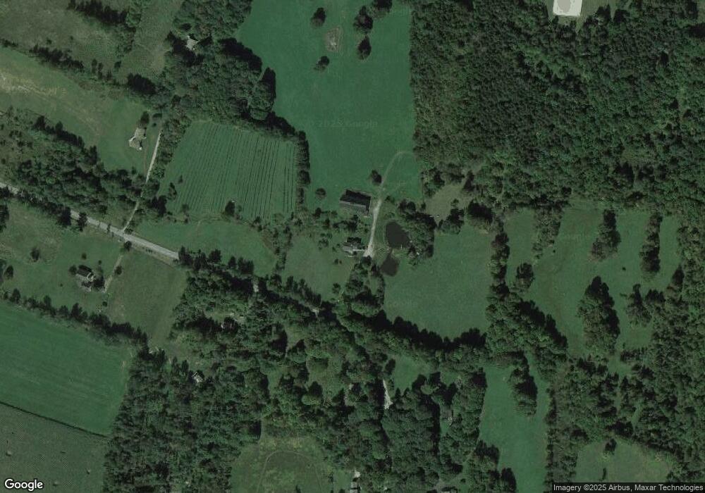
Map
Nearby Homes
- 0 Cider Mountain Rd Unit 4974380
- 3059 Airport Rd
- 00 Old Warren Rd
- 00 Brook Rd
- 00 Fuller Hill Rd
- 1021 Stewart Wood Rd
- 00 Bent Birch Way
- 565 Main St
- 838 Main St
- 31 Christmas Tree Rd Unit 14
- 350 Anne Burns Rd
- 96 Lower Pines Rd
- 3301 Vt Route 100
- 132 Grand Hollow Rd Unit 15
- 136 Grand Hollow Rd Unit 13
- 128 Upper Pines Rd
- 19 Timberline Dr Unit 9
- 190 Upper Pines Rd
- 48 Alberts Ln
- 00 Prickly Mountain Rd
- 34 Valhalla Rd
- 74 Green Mountain Dr
- 91 Green Mountain Dr
- 41 Penny Ln
- 145 Penny Ln
- 86 Valhalla Rd
- 214 Roth Rd
- 5148 E Warren Rd
- 124 Green Mountain Dr
- 186 Green Mountain Dr
- 5154 E Warren Rd
- 144 Green Mountain Dr
- 190 Valhalla Rd
- 214 Cove Rd
- 168 Shady Tree Ln
- 169 Breakaway Farm Rd
- 25 Roth Rd
- 128 Breakaway Farm Rd
- 5281 E Warren Rd
- 250 Fairview Rd
Your Personal Tour Guide
Ask me questions while you tour the home.