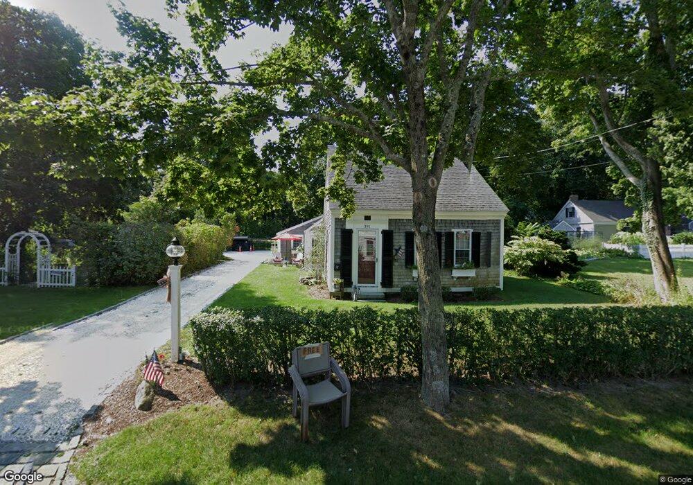
391 Route 6a Yarmouth Port, MA 02675
Yarmouth Port NeighborhoodEstimated Value: $756,000 - $825,000
3
Beds
2
Baths
1,800
Sq Ft
$440/Sq Ft
Est. Value
About This Home
This home is located at 391 Route 6a, Yarmouth Port, MA 02675 and is currently estimated at $791,635, approximately $439 per square foot. 391 Route 6a is a home located in Barnstable County with nearby schools including Dennis-Yarmouth Regional High School, Trinity Christian Academy of Cape Cod, and St. Pius X. School.
Create a Home Valuation Report for This Property
The Home Valuation Report is an in-depth analysis detailing your home's value as well as a comparison with similar homes in the area
Home Values in the Area
Average Home Value in this Area
Tax History Compared to Growth
Tax History
| Year | Tax Paid | Tax Assessment Tax Assessment Total Assessment is a certain percentage of the fair market value that is determined by local assessors to be the total taxable value of land and additions on the property. | Land | Improvement |
|---|---|---|---|---|
| 2025 | $4,528 | $639,500 | $264,900 | $374,600 |
| 2024 | $4,334 | $587,200 | $230,800 | $356,400 |
| 2023 | $4,527 | $558,200 | $195,000 | $363,200 |
| 2022 | $4,226 | $460,300 | $174,600 | $285,700 |
| 2021 | $3,837 | $401,400 | $174,600 | $226,800 |
| 2020 | $3,911 | $391,100 | $172,700 | $218,400 |
| 2019 | $6,288 | $355,200 | $172,700 | $182,500 |
| 2018 | $3,550 | $345,000 | $162,500 | $182,500 |
| 2017 | $3,457 | $345,000 | $162,500 | $182,500 |
| 2016 | $3,443 | $345,000 | $162,500 | $182,500 |
| 2015 | $3,265 | $325,200 | $162,500 | $162,700 |
Source: Public Records
Map
Nearby Homes
- 371 Route 6a
- 23 Dauphine Dr
- 24 Minnetuxet Way
- 933-935 W Yarmouth Rd
- 34 Ridgewood Dr
- 882 W Yarmouth Rd
- 186 Route 6a
- 162 Route 6a
- 116 Main St
- 116 Main (Route 6a) St
- 112 Main St
- 209 Union St
- 68 Seminole Dr
- 10 Balsam Way
- 56 Wharf Ln
- 105 Old Hyannis Rd
- 1 Barnacle Rd
- 50 Cottonwood St
- 2 Pine Grove
- 32 Deveau Ln