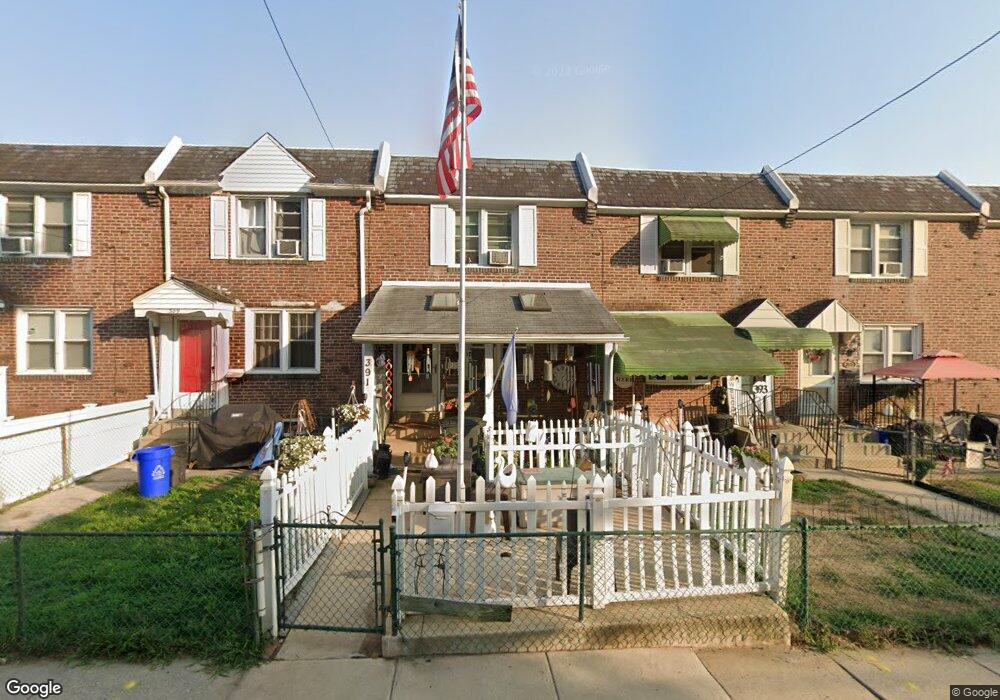
391 S Carol Blvd Upper Darby, PA 19082
Estimated Value: $196,000 - $226,950
3
Beds
1
Bath
1,120
Sq Ft
$187/Sq Ft
Est. Value
About This Home
This home is located at 391 S Carol Blvd, Upper Darby, PA 19082 and is currently estimated at $208,988, approximately $186 per square foot. 391 S Carol Blvd is a home located in Delaware County with nearby schools including Drexel Hill Middle School, Upper Darby High School, and St. Laurence's School.
Ownership History
Date
Name
Owned For
Owner Type
Purchase Details
Closed on
Mar 27, 2003
Sold by
Hutchins Mable E and Hutchins Daniel S
Bought by
Stebbins William J and Stebbins Cheryl
Current Estimated Value
Home Financials for this Owner
Home Financials are based on the most recent Mortgage that was taken out on this home.
Original Mortgage
$51,200
Outstanding Balance
$29,086
Interest Rate
10.35%
Mortgage Type
Purchase Money Mortgage
Estimated Equity
$179,902
Create a Home Valuation Report for This Property
The Home Valuation Report is an in-depth analysis detailing your home's value as well as a comparison with similar homes in the area
Home Values in the Area
Average Home Value in this Area
Purchase History
| Date | Buyer | Sale Price | Title Company |
|---|---|---|---|
| Stebbins William J | $64,000 | T A Title Insurance Company |
Source: Public Records
Mortgage History
| Date | Status | Borrower | Loan Amount |
|---|---|---|---|
| Open | Stebbins William J | $51,200 |
Source: Public Records
Tax History Compared to Growth
Tax History
| Year | Tax Paid | Tax Assessment Tax Assessment Total Assessment is a certain percentage of the fair market value that is determined by local assessors to be the total taxable value of land and additions on the property. | Land | Improvement |
|---|---|---|---|---|
| 2025 | $4,751 | $112,330 | $37,060 | $75,270 |
| 2024 | $4,751 | $112,330 | $37,060 | $75,270 |
| 2023 | $4,706 | $112,330 | $37,060 | $75,270 |
| 2022 | $4,579 | $112,330 | $37,060 | $75,270 |
| 2021 | $6,175 | $112,330 | $37,060 | $75,270 |
| 2020 | $4,687 | $72,450 | $26,620 | $45,830 |
| 2019 | $4,604 | $72,450 | $26,620 | $45,830 |
| 2018 | $4,551 | $72,450 | $0 | $0 |
| 2017 | $4,433 | $72,450 | $0 | $0 |
| 2016 | $398 | $72,450 | $0 | $0 |
| 2015 | $398 | $72,450 | $0 | $0 |
| 2014 | $398 | $72,450 | $0 | $0 |
Source: Public Records
Map
Nearby Homes
- 7819 Westview Ave
- 7823 Arlington Ave
- 241 S Cedar Ln
- 11 S Cedar Ln
- 8125 W Chester Pike Unit A4
- 852 Windermere Ave
- 2219 Ardmore Ave
- 7920 W Chester Pike
- 7226 Penarth Ave
- 858 Fairfax Rd
- 2354 Bond Ave
- 872 Fairfax Rd
- 71 S Brighton Ave
- 201 Saint Laurence Rd
- 804 Gainsboro Rd
- 105 N Fairview Ave
- 25 N Pennock Ave
- 2548 Irvington Rd
- 1434 Bywood Ave
- 827 Hampshire Rd
- 393 S Carol Blvd
- 389 S Carol Blvd
- 395 S Carol Blvd
- 387 S Carol Blvd
- 397 S Carol Blvd
- 7825 Westview Ave
- 7823 Westview Ave
- 399 S Carol Blvd
- 7870 Beverly Blvd
- 7868 Beverly Blvd
- 7817 Westview Ave
- 7866 Beverly Blvd
- 7864 Beverly Blvd
- 7815 Westview Ave
- 7821 Westview Ave
- 7813 Westview Ave
- 7860 Beverly Blvd
- 7828 Westview Ave
- 7830 Westview Ave
- 7826 Westview Ave