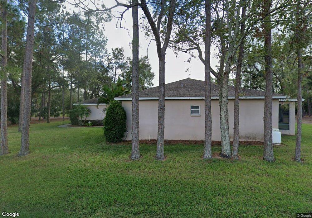
391 State Road 559 Auburndale, FL 33823
Estimated Value: $419,000 - $547,000
3
Beds
2
Baths
2,050
Sq Ft
$226/Sq Ft
Est. Value
About This Home
This home is located at 391 State Road 559, Auburndale, FL 33823 and is currently estimated at $464,255, approximately $226 per square foot. 391 State Road 559 is a home located in Polk County with nearby schools including Auburndale Senior High School, Lena Vista Elementary School, and Jewett School of the Arts.
Ownership History
Date
Name
Owned For
Owner Type
Purchase Details
Closed on
Jan 19, 2001
Sold by
Graham Timothy W and Graham Melissa D
Bought by
Rose Kenneth J and Rose Sheryl C
Current Estimated Value
Home Financials for this Owner
Home Financials are based on the most recent Mortgage that was taken out on this home.
Original Mortgage
$15,000
Outstanding Balance
$5,530
Interest Rate
7.53%
Estimated Equity
$458,725
Purchase Details
Closed on
Jul 12, 1999
Sold by
Stambauch Hannah W
Bought by
Graham Tomothy W and Graham Melissa D
Home Financials for this Owner
Home Financials are based on the most recent Mortgage that was taken out on this home.
Original Mortgage
$12,919
Interest Rate
7.23%
Create a Home Valuation Report for This Property
The Home Valuation Report is an in-depth analysis detailing your home's value as well as a comparison with similar homes in the area
Home Values in the Area
Average Home Value in this Area
Purchase History
| Date | Buyer | Sale Price | Title Company |
|---|---|---|---|
| Rose Kenneth J | $25,500 | -- | |
| Graham Tomothy W | $23,000 | -- |
Source: Public Records
Mortgage History
| Date | Status | Borrower | Loan Amount |
|---|---|---|---|
| Open | Graham Tomothy W | $15,000 | |
| Previous Owner | Graham Tomothy W | $12,919 |
Source: Public Records
Tax History Compared to Growth
Tax History
| Year | Tax Paid | Tax Assessment Tax Assessment Total Assessment is a certain percentage of the fair market value that is determined by local assessors to be the total taxable value of land and additions on the property. | Land | Improvement |
|---|---|---|---|---|
| 2025 | $2,435 | $201,274 | -- | -- |
| 2024 | $2,450 | $195,602 | -- | -- |
| 2023 | $2,450 | $189,905 | $0 | $0 |
| 2022 | $2,380 | $184,374 | $0 | $0 |
| 2021 | $2,369 | $179,004 | $0 | $0 |
| 2020 | $2,344 | $176,533 | $0 | $0 |
| 2018 | $2,299 | $169,346 | $0 | $0 |
| 2017 | $2,234 | $165,863 | $0 | $0 |
| 2016 | $2,214 | $162,452 | $0 | $0 |
| 2015 | $2,243 | $161,323 | $0 | $0 |
| 2014 | $2,149 | $160,043 | $0 | $0 |
Source: Public Records
Map
Nearby Homes
- 128 Melissa Trail
- 184 Melissa Trail
- 1349 Oak Valley Dr
- 1353 Oak Valley Dr
- 834 Arietta Cir N
- 1336 Oak Valley Dr
- 1361 Oak Valley Dr
- 1352 Oak Valley Dr
- 511 Auburn Grove Terrace
- 1356 Oak Valley Dr
- 1705 Forest Run Ln
- 506 Auburn Grove Terrace
- 137 Eagle Point Blvd
- 2228 Palmview Cir E
- 1646 Bark Ridge Dr
- 2232 Palmview Cir W
- 245 Viola Dr
- 1643 Bark Ridge Dr
- 1647 Bark Ridge Dr
- 1249 Oak Valley Dr
- 104 Cory Ct
- 103 Cory Ct
- 387 State Road 559
- 389 State Road 559
- 108 Cory Ct
- 107 Cory Ct
- 903 Hillgrove Ln
- 102 Melissa Trail
- 186 Old Nichols Cir
- 112 Cory Ct
- 111 Cory Ct
- 905 Hillgrove Ln
- 182 Old Nichols Cir
- 0 Melissa Trail Unit L4900848
- 0 Melissa Trail Unit P4900359
- Melissa Trail
- Melissa Trail
- Melissa Trail
- Melissa Trail
- Melissa Trail