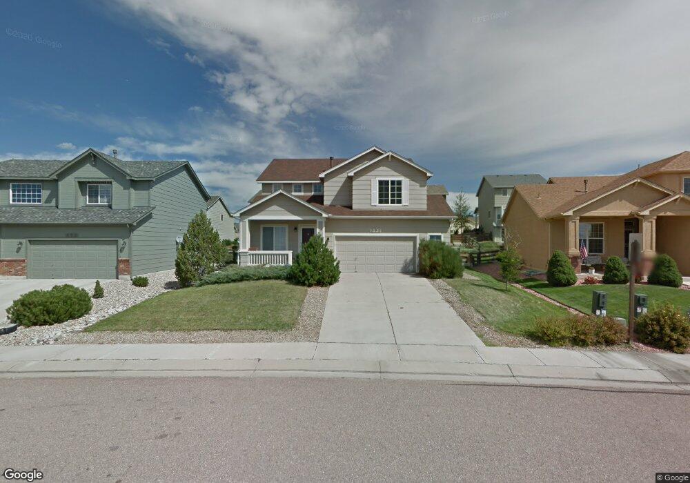
391 Talus Rd Monument, CO 80132
Estimated Value: $561,683 - $622,000
4
Beds
4
Baths
1,989
Sq Ft
$294/Sq Ft
Est. Value
About This Home
This home is located at 391 Talus Rd, Monument, CO 80132 and is currently estimated at $585,671, approximately $294 per square foot. 391 Talus Rd is a home located in El Paso County with nearby schools including Bear Creek Elementary School, Lewis-Palmer Middle School, and Lewis-Palmer High School.
Ownership History
Date
Name
Owned For
Owner Type
Purchase Details
Closed on
Feb 28, 2006
Sold by
Baranski Steven A and Baranski Kristine D
Bought by
Nelson Jeffrey S and Nelson Frances L
Current Estimated Value
Home Financials for this Owner
Home Financials are based on the most recent Mortgage that was taken out on this home.
Original Mortgage
$240,000
Outstanding Balance
$134,675
Interest Rate
6.05%
Mortgage Type
Fannie Mae Freddie Mac
Estimated Equity
$450,996
Purchase Details
Closed on
Jul 6, 2001
Sold by
Keller Homes Inc
Bought by
Baranski Steven A and Baranski Kristine D
Home Financials for this Owner
Home Financials are based on the most recent Mortgage that was taken out on this home.
Original Mortgage
$185,665
Interest Rate
7.16%
Create a Home Valuation Report for This Property
The Home Valuation Report is an in-depth analysis detailing your home's value as well as a comparison with similar homes in the area
Home Values in the Area
Average Home Value in this Area
Purchase History
| Date | Buyer | Sale Price | Title Company |
|---|---|---|---|
| Nelson Jeffrey S | $300,000 | Land Title Guarantee Company | |
| Baranski Steven A | $232,100 | First American |
Source: Public Records
Mortgage History
| Date | Status | Borrower | Loan Amount |
|---|---|---|---|
| Open | Nelson Jeffrey S | $240,000 | |
| Previous Owner | Baranski Steven A | $185,665 | |
| Closed | Baranski Steven A | $23,208 |
Source: Public Records
Tax History
| Year | Tax Paid | Tax Assessment Tax Assessment Total Assessment is a certain percentage of the fair market value that is determined by local assessors to be the total taxable value of land and additions on the property. | Land | Improvement |
|---|---|---|---|---|
| 2025 | $3,263 | $40,720 | -- | -- |
| 2024 | $3,157 | $39,600 | $7,290 | $32,310 |
| 2022 | $2,753 | $28,260 | $6,870 | $21,390 |
| 2021 | $2,843 | $29,070 | $7,070 | $22,000 |
| 2020 | $2,719 | $26,120 | $6,150 | $19,970 |
| 2019 | $2,841 | $26,120 | $6,150 | $19,970 |
| 2018 | $2,888 | $24,930 | $5,400 | $19,530 |
| 2017 | $2,886 | $24,930 | $5,400 | $19,530 |
| 2016 | $2,718 | $24,470 | $5,570 | $18,900 |
| 2015 | $2,716 | $24,470 | $5,570 | $18,900 |
| 2014 | $2,613 | $22,870 | $5,090 | $17,780 |
Source: Public Records
Map
Nearby Homes
- 389 Oxbow Dr
- 15758 Candle Creek Dr
- 15811 Candle Creek Dr
- 15711 Lacuna Dr
- 265 Talus Rd
- 531 Saber Creek Dr
- 639 Burke Hollow Dr
- 15635 Split Creek Dr
- 69 Saber Creek Dr
- 15619 Kitchener Way
- 16273 Windsor Creek Dr
- 16017 Denver Pacific Dr
- 16310 Cattle Creek Ct
- 16297 Cattle Creek Ct
- 15737 James Gate Place
- 16311 Cattle Creek Ct
- 15949 Midland Valley Way
- 16259 Bassett Mill Way
- 16367 Cattle Creek Ct
- 16277 Bassett Mill Way
Your Personal Tour Guide
Ask me questions while you tour the home.