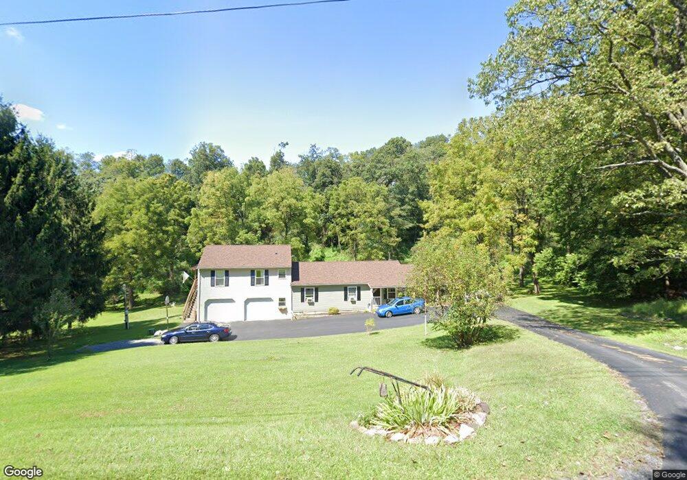
391 Tower Rd Selinsgrove, PA 17870
Estimated Value: $265,000 - $299,000
--
Bed
--
Bath
--
Sq Ft
1.16
Acres
About This Home
This home is located at 391 Tower Rd, Selinsgrove, PA 17870 and is currently estimated at $282,000. 391 Tower Rd is a home located in Snyder County with nearby schools including Selinsgrove Area Elementary School, Selinsgrove Intermediate School, and Selinsgrove Area Middle School.
Ownership History
Date
Name
Owned For
Owner Type
Purchase Details
Closed on
Dec 22, 2022
Sold by
Hendricks Deborah A and Hendricks Harold A
Bought by
Hendricks Deborah A
Current Estimated Value
Home Financials for this Owner
Home Financials are based on the most recent Mortgage that was taken out on this home.
Original Mortgage
$100,000
Outstanding Balance
$87,679
Interest Rate
5.98%
Mortgage Type
Credit Line Revolving
Estimated Equity
$194,321
Purchase Details
Closed on
Dec 17, 2008
Sold by
Hendricks Harold A and Hendricks Deborah A
Bought by
Hendrick Deborah A and Hendrick Harold A
Create a Home Valuation Report for This Property
The Home Valuation Report is an in-depth analysis detailing your home's value as well as a comparison with similar homes in the area
Home Values in the Area
Average Home Value in this Area
Purchase History
| Date | Buyer | Sale Price | Title Company |
|---|---|---|---|
| Hendricks Deborah A | -- | -- | |
| Hendrick Deborah A | -- | -- |
Source: Public Records
Mortgage History
| Date | Status | Borrower | Loan Amount |
|---|---|---|---|
| Open | Hendricks Deborah A | $100,000 |
Source: Public Records
Tax History Compared to Growth
Tax History
| Year | Tax Paid | Tax Assessment Tax Assessment Total Assessment is a certain percentage of the fair market value that is determined by local assessors to be the total taxable value of land and additions on the property. | Land | Improvement |
|---|---|---|---|---|
| 2025 | $2,583 | $26,590 | $1,530 | $25,060 |
| 2024 | $2,508 | $26,590 | $1,530 | $25,060 |
| 2023 | $632 | $26,590 | $1,530 | $25,060 |
| 2022 | $2,385 | $26,560 | $1,500 | $25,060 |
| 2021 | $2,385 | $26,560 | $1,500 | $25,060 |
| 2020 | $2,385 | $26,560 | $1,500 | $25,060 |
| 2019 | $2,385 | $26,560 | $1,500 | $25,060 |
| 2018 | $2,385 | $26,560 | $1,500 | $25,060 |
| 2017 | $2,359 | $26,560 | $1,500 | $25,060 |
| 2016 | $686 | $26,560 | $1,500 | $25,060 |
| 2015 | $44,061 | $20,200 | $1,500 | $18,700 |
| 2014 | $44,061 | $20,200 | $1,500 | $18,700 |
Source: Public Records
Map
Nearby Homes
- 0 Blvd Unit 20-101896
- 538 Susquehanna Ave
- 150 N Front St
- 140 Race St Unit 142
- 207 Reagan St
- 417 N 2nd St
- 847 Edison Ave Unit 849
- 1105 Susquehanna Ave Unit 1107
- 144 Market St Unit 146
- 152 Market St Unit 154
- 134 Chestnut St
- 1200 N River Ave
- 00 Line Rd
- 1249 Edison Ave
- 310 Arch St
- 346 Arch St Unit 348
- 601 N 4th St
- 425 Race St
- 79 Duke St
- 234 Spruce St
- 335 Tower Rd
- 236 Tower Rd
- 488 Tower Rd
- 488 Tower Rd
- 249 Tower Rd
- 555 Tower Rd
- 736 Tower Rd
- 830 Blue Hill Dr
- 793 Blue Hill Dr
- 578 Blue Hill Dr
- 77 Tower Rd
- 464 Blue Hill Dr
- 651 Blue Hill Dr
- 499 Blue Hill Dr
- 88 Blue Hill Dr
- 905 Blue Hill Dr
- 321 Blue Hill Dr
- 275 Blue Hill Dr
- 1507 Route 11 & 15
- 555 County Line Rd