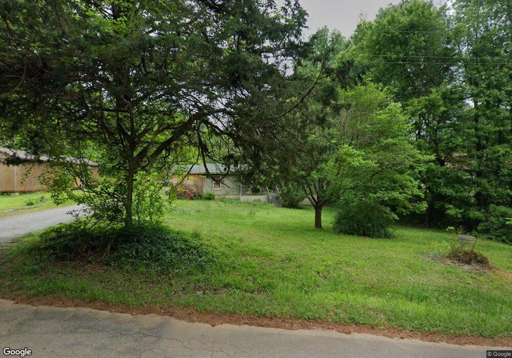
391 Wayside Rd Carrollton, GA 30116
Estimated Value: $214,928 - $260,000
3
Beds
2
Baths
1,104
Sq Ft
$211/Sq Ft
Est. Value
About This Home
This home is located at 391 Wayside Rd, Carrollton, GA 30116 and is currently estimated at $233,232, approximately $211 per square foot. 391 Wayside Rd is a home located in Carroll County with nearby schools including Central Elementary School, Central Middle School, and Central High School.
Ownership History
Date
Name
Owned For
Owner Type
Purchase Details
Closed on
Dec 30, 2013
Sold by
Norman Michael George
Bought by
Norman Michael George and Norman Allene
Current Estimated Value
Purchase Details
Closed on
Jul 12, 2002
Sold by
Norman Allene
Bought by
Norman Allene and Norman Michael G
Purchase Details
Closed on
Aug 12, 1981
Bought by
Norman Michael and Norman A
Create a Home Valuation Report for This Property
The Home Valuation Report is an in-depth analysis detailing your home's value as well as a comparison with similar homes in the area
Home Values in the Area
Average Home Value in this Area
Purchase History
| Date | Buyer | Sale Price | Title Company |
|---|---|---|---|
| Norman Michael George | -- | -- | |
| Norman Allene | -- | -- | |
| Norman Michael | -- | -- |
Source: Public Records
Tax History Compared to Growth
Tax History
| Year | Tax Paid | Tax Assessment Tax Assessment Total Assessment is a certain percentage of the fair market value that is determined by local assessors to be the total taxable value of land and additions on the property. | Land | Improvement |
|---|---|---|---|---|
| 2024 | $55 | $45,490 | $8,248 | $37,242 |
| 2023 | $66 | $40,795 | $6,598 | $34,197 |
| 2022 | $66 | $31,835 | $4,399 | $27,436 |
| 2021 | $66 | $27,477 | $3,519 | $23,958 |
| 2020 | $67 | $24,607 | $3,199 | $21,408 |
| 2019 | $69 | $23,201 | $3,199 | $20,002 |
| 2018 | $72 | $21,317 | $2,990 | $18,327 |
| 2017 | $73 | $21,317 | $2,990 | $18,327 |
| 2016 | $73 | $21,317 | $2,990 | $18,327 |
| 2015 | $52 | $14,179 | $2,201 | $11,978 |
| 2014 | $52 | $14,180 | $2,201 | $11,978 |
Source: Public Records
Map
Nearby Homes
- 0 E Wayside Rd Unit 10620998
- 74 Holly Dr
- 870 Eagles Nest Cir
- 2969 Horsley Mill Rd
- 1137 Eagles Nest Cir
- 0 Horsley Dr Unit 139456
- 1117 Cross Plains Hulett Rd
- 1281 Eagles Nest Cir
- 1432 Eagles Nest Cir
- 75 Timber Mill Cir
- 149 Hawk Ln
- 1620 Cross Plains Hulett Rd
- 1265 Horsley Mill Rd
- 100 Eldorado Dr
- 70 E Honeysuckle Ln
- 125 Sweet Bay Ln
- 184 Lake Connie Rd
- 10 Amberly Way
- 227 Diamond Ct
- 371 Wayside Rd
- 415 Wayside Rd
- 406 Wayside Rd
- 386 Wayside Rd
- 453 Wayside Rd
- 442 Wayside Rd
- 312 Wayside Rd
- 563 Wayside Rd
- 550 Wayside Rd
- 99 Wild Plum Ln
- 571 Wayside Rd
- 953 W Wayside Rd
- 580 Wayside Rd
- 37 Harris Rd
- 84 Ronald Williams Rd
- 619 Wayside Rd
- 914 W Wayside Rd
- 640 Wayside Rd
- 155 E Wayside Rd
- 960 W Wayside Rd