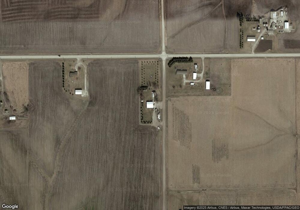
3910 142nd St Malcom, IA 50157
Estimated Value: $219,000 - $264,000
Studio
1
Bath
1,552
Sq Ft
$159/Sq Ft
Est. Value
About This Home
This home is located at 3910 142nd St, Malcom, IA 50157 and is currently estimated at $246,009, approximately $158 per square foot. 3910 142nd St is a home located in Poweshiek County with nearby schools including Brooklyn-Guernsey-Malcom Elementary School and Brooklyn-Guernsey-Malcom Junior/Senior High School.
Ownership History
Date
Name
Owned For
Owner Type
Purchase Details
Closed on
Apr 7, 2010
Sold by
Cummings Marty S and Cummings Joy M
Bought by
Mccammant John E
Current Estimated Value
Create a Home Valuation Report for This Property
The Home Valuation Report is an in-depth analysis detailing your home's value as well as a comparison with similar homes in the area
Purchase History
| Date | Buyer | Sale Price | Title Company |
|---|---|---|---|
| Mccammant John E | $5,500 | None Available |
Source: Public Records
Tax History
| Year | Tax Paid | Tax Assessment Tax Assessment Total Assessment is a certain percentage of the fair market value that is determined by local assessors to be the total taxable value of land and additions on the property. | Land | Improvement |
|---|---|---|---|---|
| 2025 | $2,296 | $229,180 | $59,610 | $169,570 |
| 2024 | $2,276 | $208,860 | $53,700 | $155,160 |
| 2023 | $2,136 | $208,860 | $53,700 | $155,160 |
| 2022 | $2,136 | $167,090 | $42,990 | $124,100 |
| 2021 | $2,136 | $157,640 | $40,560 | $117,080 |
| 2020 | $1,848 | $138,210 | $33,800 | $104,410 |
| 2019 | $1,512 | $138,210 | $33,800 | $104,410 |
| 2018 | $1,492 | $113,820 | $26,000 | $87,820 |
| 2017 | $1,544 | $113,820 | $26,000 | $87,820 |
| 2016 | $1,448 | $110,380 | $26,000 | $84,380 |
| 2015 | $1,448 | $110,380 | $26,000 | $84,380 |
| 2014 | $1,254 | $98,780 | $18,130 | $80,650 |
Source: Public Records
Map
Nearby Homes
- 303 Clay St
- 528 W Pershing Dr
- 515 W Des Moines St
- 505 W Pershing Dr
- 404 W Des Moines St
- 215 Brady St
- 4182 160th St
- 611 Broadway St
- 508 Williams St
- 505 E Des Moines St
- 4269 175th St
- 4038 Phelps Dr
- 4068 Western Dr
- 2037 Larry Dr
- 2141 S Lake Shore Dr
- 4077 Western Dr
- 4223 W Lakeshore Dr
- 1251 Holiday Ln
- 4220 W Lakeshore Dr
- 4086 Tracy Dr
Your Personal Tour Guide
Ask me questions while you tour the home.