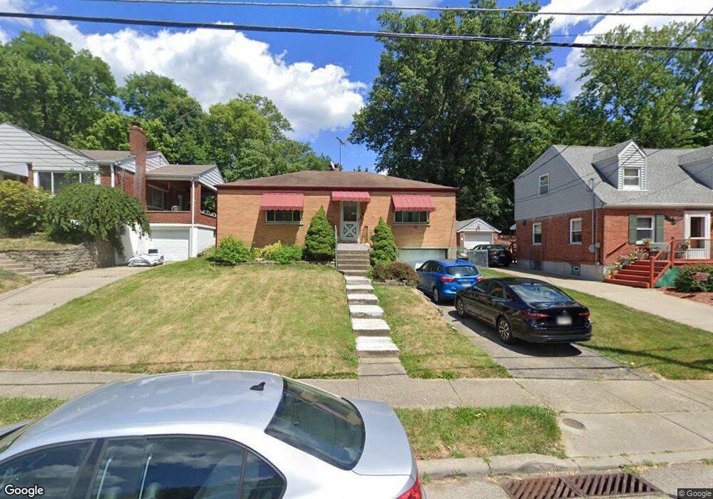
3910 Carrie Ave Cincinnati, OH 45211
Estimated Value: $170,000 - $188,739
About This Home
This home is located at 3910 Carrie Ave, Cincinnati, OH 45211 and is currently estimated at $178,435, approximately $134 per square foot. 3910 Carrie Ave is a home located in Hamilton County with nearby schools including Cheviot Elementary School, Western Hills High School, and Gilbert A. Dater High School.
Ownership History
We collect this data history from publicly available records. To have your information removed, we recommend requesting removal directly through your county’s website.
Purchase Details
Home Financials for this Owner
Home Financials are based on the most recent Mortgage that was taken out on this home.Purchase Details
Home Financials for this Owner
Home Financials are based on the most recent Mortgage that was taken out on this home.Home Values in the Area
Average Home Value in this Area
Purchase History
We collect this data history from publicly available records. To have your information removed, we recommend requesting removal directly through your county’s website.
| Date | Buyer | Sale Price | Title Company |
|---|---|---|---|
| $81,000 | -- | ||
| $74,000 | -- |
Mortgage History
We collect this data history from publicly available records. To have your information removed, we recommend requesting removal directly through your county’s website.
| Date | Status | Borrower | Loan Amount |
|---|---|---|---|
| Open | $64,000 | ||
| Previous Owner | $59,200 |
Tax History
We collect this data history from publicly available records. To have your information removed, we recommend requesting removal directly through your county’s website.
| Year | Tax Paid | Tax Assessment Tax Assessment Total Assessment is a certain percentage of the fair market value that is determined by local assessors to be the total taxable value of land and additions on the property. | Land | Improvement |
|---|---|---|---|---|
| 2025 | $2,485 | $38,808 | $6,958 | $31,850 |
| 2024 | $2,481 | $38,808 | $6,958 | $31,850 |
| 2023 | $2,485 | $38,808 | $6,958 | $31,850 |
| 2022 | $2,118 | $28,676 | $6,024 | $22,652 |
| 2021 | $2,107 | $28,676 | $6,024 | $22,652 |
| 2020 | $2,086 | $28,676 | $6,024 | $22,652 |
| 2019 | $2,062 | $25,376 | $5,331 | $20,045 |
| 2018 | $2,063 | $25,376 | $5,331 | $20,045 |
| 2017 | $1,998 | $25,376 | $5,331 | $20,045 |
| 2016 | $1,982 | $24,438 | $5,492 | $18,946 |
| 2015 | $1,785 | $24,438 | $5,492 | $18,946 |
| 2014 | $1,745 | $24,438 | $5,492 | $18,946 |
| 2013 | $1,718 | $23,724 | $5,331 | $18,393 |
Map
- 4022 Walter Ave
- 3935 Carrie Ave
- 4013 Walter Ave
- 3935 Lovell Ave
- 3949 Lovell Ave
- 3718 Forest Ct
- 3719 Forest Ct
- 4138 Homelawn Ave
- 3961 School Section Rd
- 3940 Delmar Ave
- 4116 Janward Dr
- 3981 School Section Rd
- 3977 Delmar Ave
- 4105 Trevor Ave
- 3820 Delmar Ave
- 4104 Trevor Ave
- 3853 Weirman Ave
- 3608 Gamble Ave
- 3606 Gamble Ave
- 3845 Olivette Ave
- 3843 Carrie Ave
- 3841 Carrie Ave
- 3839 Carrie Ave
- 3837 Carrie Ave
- 4036 McFarran Ave
- 4032 McFarran Ave
- 4040 McFarran Ave
- 3844 Carrie Ave
- 4044 McFarran Ave
- 3842 Carrie Ave
- 3846 Carrie Ave
- 3835 Carrie Ave
- 3900 Carrie Ave
- 3840 Carrie Ave
- 4048 McFarran Ave
- 3904 Carrie Ave
- 3838 Carrie Ave
- 3833 Carrie Ave
- 3903 Carrie Ave
- 3836 Carrie Ave
Ask me questions while you tour the home.