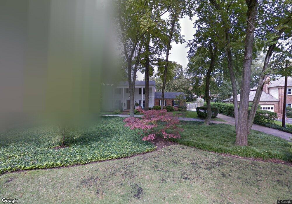
3910 Locust Ln Alexandria, VA 22310
Rose Hill NeighborhoodEstimated Value: $960,000 - $1,078,433
4
Beds
4
Baths
2,608
Sq Ft
$391/Sq Ft
Est. Value
About This Home
This home is located at 3910 Locust Ln, Alexandria, VA 22310 and is currently estimated at $1,019,358, approximately $390 per square foot. 3910 Locust Ln is a home located in Fairfax County with nearby schools including Clermont Elementary School, Twain Middle School, and Edison High School.
Ownership History
Date
Name
Owned For
Owner Type
Purchase Details
Closed on
Dec 28, 2022
Sold by
Paula Karen Sutherland Living Trust
Bought by
Fisher Jeffrey T and Fisher Jennifer W
Current Estimated Value
Home Financials for this Owner
Home Financials are based on the most recent Mortgage that was taken out on this home.
Original Mortgage
$825,480
Outstanding Balance
$792,353
Interest Rate
5.13%
Mortgage Type
New Conventional
Estimated Equity
$227,005
Create a Home Valuation Report for This Property
The Home Valuation Report is an in-depth analysis detailing your home's value as well as a comparison with similar homes in the area
Home Values in the Area
Average Home Value in this Area
Purchase History
| Date | Buyer | Sale Price | Title Company |
|---|---|---|---|
| Fisher Jeffrey T | $917,200 | Land Title |
Source: Public Records
Mortgage History
| Date | Status | Borrower | Loan Amount |
|---|---|---|---|
| Open | Fisher Jeffrey T | $825,480 |
Source: Public Records
Tax History Compared to Growth
Tax History
| Year | Tax Paid | Tax Assessment Tax Assessment Total Assessment is a certain percentage of the fair market value that is determined by local assessors to be the total taxable value of land and additions on the property. | Land | Improvement |
|---|---|---|---|---|
| 2025 | $11,008 | $990,860 | $425,000 | $565,860 |
| 2024 | $11,008 | $902,260 | $395,000 | $507,260 |
| 2023 | $9,837 | $828,240 | $375,000 | $453,240 |
| 2022 | $9,289 | $770,830 | $355,000 | $415,830 |
| 2021 | $8,420 | $683,440 | $300,000 | $383,440 |
| 2020 | $8,051 | $649,030 | $290,000 | $359,030 |
| 2019 | $8,514 | $686,830 | $292,000 | $394,830 |
| 2018 | $7,597 | $660,640 | $281,000 | $379,640 |
| 2017 | $7,794 | $641,580 | $273,000 | $368,580 |
| 2016 | $7,561 | $622,840 | $265,000 | $357,840 |
| 2015 | $7,296 | $622,840 | $265,000 | $357,840 |
| 2014 | $6,942 | $592,500 | $250,000 | $342,500 |
Source: Public Records
Map
Nearby Homes
- 5916 Ewing Place
- 4103 Ivanhoe Ln
- 3509 Franconia Rd
- 5708 Norton Rd
- 4315 Dubois St
- 4500 Picot Rd
- 5654 Ridge View Dr
- 6112 Paulonia Rd
- 5835 Lebanon Rd
- 4423 Upland Dr
- 4507 Tipton Ln
- 5532 Halwis St
- 5656 Governors Pond Cir
- 6208 Redwood Ln
- 3610 Elmwood Dr
- 3900 Elmwood Dr
- 5604 Edgemont Dr
- 5625 Maxine Ct
- 4209 Elmwood Dr
- 3852 Elmwood Towne Way
- 3908 Locust Ln
- 3906 Locust Ln
- 3907 Franconia Rd
- 3911 Locust Ln
- 3909 Franconia Rd
- 3905 Franconia Rd
- 3905 Locust Ln
- 3918 Locust Ln
- 4001 Franconia Rd
- 3904 Locust Ln
- 4010 Pine Brook Rd
- 3903 Locust Ln
- 4006 Pine Brook Rd
- 4022 Pine Brook Rd
- 4002 Pine Brook Rd
- 4024 Pine Brook Rd
- 3901 Franconia Rd
- 3902 Locust Ln
- 3904 Ivanhoe Ln
- 3901 Locust Ln