3910 S Burnside Ave Gonzales, LA 70737
--
Bed
--
Bath
--
Sq Ft
14
Acres
About This Home
This home is located at 3910 S Burnside Ave, Gonzales, LA 70737. 3910 S Burnside Ave is a home located in Ascension Parish with nearby schools including Pecan Grove Primary School, Gonzales Middle School, and East Ascension High School.
Ownership History
Date
Name
Owned For
Owner Type
Purchase Details
Closed on
Apr 9, 2020
Sold by
Cdp Enterprises Llc
Bought by
Robert Brothers Llc
Purchase Details
Closed on
Oct 21, 2019
Sold by
Denise Nelson Colleen
Bought by
Cdp Enterprises Llc
Purchase Details
Closed on
Sep 25, 2019
Sold by
Neel Nelson Iii Albert
Bought by
Nelson Colleen Denise
Purchase Details
Closed on
Sep 24, 2019
Sold by
Allied Investments La Llc
Bought by
Nelson Albert Neel
Purchase Details
Closed on
Mar 15, 2019
Sold by
Allied Investments La Llc
Bought by
Nelson Albert Neel
Purchase Details
Closed on
Mar 14, 2019
Sold by
Allied Investments La Llc
Bought by
Nelson Albert Neel
Create a Home Valuation Report for This Property
The Home Valuation Report is an in-depth analysis detailing your home's value as well as a comparison with similar homes in the area
Home Values in the Area
Average Home Value in this Area
Purchase History
| Date | Buyer | Sale Price | Title Company |
|---|---|---|---|
| Robert Brothers Llc | $3,400,000 | Source Title | |
| Cdp Enterprises Llc | -- | -- | |
| Nelson Colleen Denise | -- | -- | |
| Nelson Albert Neel | -- | -- | |
| Nelson Albert Neel | -- | -- | |
| Nelson Albert Neel | -- | -- | |
| Nelson Albert Neel | -- | -- |
Source: Public Records
Tax History Compared to Growth
Tax History
| Year | Tax Paid | Tax Assessment Tax Assessment Total Assessment is a certain percentage of the fair market value that is determined by local assessors to be the total taxable value of land and additions on the property. | Land | Improvement |
|---|---|---|---|---|
| 2024 | $2,778 | $25,460 | $25,460 | $0 |
| 2023 | $2,784 | $25,460 | $25,460 | $0 |
| 2022 | $2,784 | $25,460 | $25,460 | $0 |
| 2021 | $2,783 | $25,460 | $25,460 | $0 |
| 2020 | $2,798 | $25,460 | $25,460 | $0 |
| 2019 | $4,831 | $43,740 | $43,740 | $0 |
| 2018 | $4,779 | $43,740 | $43,740 | $0 |
| 2017 | $4,779 | $43,740 | $43,740 | $0 |
| 2015 | $4,799 | $43,740 | $43,740 | $0 |
| 2014 | $4,797 | $43,740 | $43,740 | $0 |
Source: Public Records
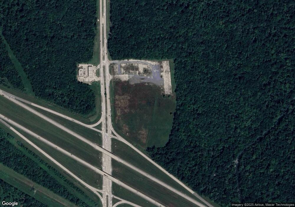
Map
Nearby Homes
- 14 Saint Anthony Ave
- 1 Saint Anthony Ave
- 2 Saint Anthony Ave
- 3 Saint Anthony Ave
- 4 Saint Anthony Ave
- 5 Saint Anthony Ave
- 13 Saint Anthony Ave
- 6 Saint Anthony Ave
- 7 Saint Anthony Ave
- 8 Saint Anthony Ave
- 9 Saint Anthony Ave
- 10 Saint Anthony Ave
- 11 Saint Anthony Ave
- 12 Saint Anthony Ave
- 16 St Anthony Ave
- 15 St Anthony Ave
- 2110-B S Burnside Ave
- 2108-E S Burnside Ave
- 2102-D S Burnside Ave
- 2104-F S Burnside Ave
- T S Burnside Ave Unit RACTB
- LA-44 & Louisiana 30 W
- 0 S Burnside Ave
- 1925 S S Burnside Ave
- 3460 S Burnside Ave
- 2801 S Dianne Ave
- 2801 S Dianne Ave
- 2713 S Dianne Ave
- 6-B La Hwy 30
- 0 E Highway 30
- 36452 E Highway 30
- 2633 S Dianne Ave
- 2710 S Dianne Ave
- A-1 E La Hwy 30
- 2705 W La Hwy 30
- 1433 E La Hwy 30