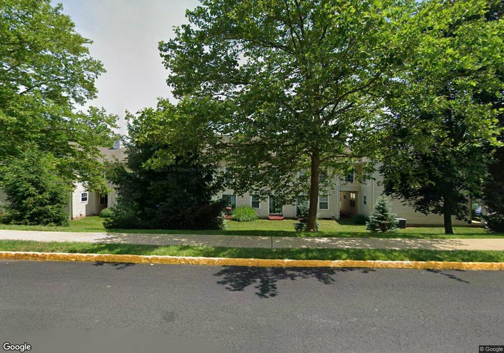
3911 Captain Molly Cir Unit 127 Doylestown, PA 18902
Plumstead NeighborhoodEstimated Value: $326,000 - $333,058
2
Beds
2
Baths
1,120
Sq Ft
$293/Sq Ft
Est. Value
About This Home
This home is located at 3911 Captain Molly Cir Unit 127, Doylestown, PA 18902 and is currently estimated at $327,765, approximately $292 per square foot. 3911 Captain Molly Cir Unit 127 is a home located in Bucks County with nearby schools including Groveland Elementary School, Tohickon Middle School, and Central Bucks High School-West.
Ownership History
Date
Name
Owned For
Owner Type
Purchase Details
Closed on
Jun 20, 2001
Sold by
Moore Fred A and Moore Kelly G
Bought by
Moore Fred A
Current Estimated Value
Purchase Details
Closed on
Oct 26, 1995
Sold by
Patriots Ridge Corp
Bought by
Moore Fred A and Moore Kelly G
Home Financials for this Owner
Home Financials are based on the most recent Mortgage that was taken out on this home.
Original Mortgage
$95,300
Outstanding Balance
$1,333
Interest Rate
7.6%
Estimated Equity
$326,432
Create a Home Valuation Report for This Property
The Home Valuation Report is an in-depth analysis detailing your home's value as well as a comparison with similar homes in the area
Home Values in the Area
Average Home Value in this Area
Purchase History
| Date | Buyer | Sale Price | Title Company |
|---|---|---|---|
| Moore Fred A | -- | -- | |
| Moore Fred A | $100,355 | -- |
Source: Public Records
Mortgage History
| Date | Status | Borrower | Loan Amount |
|---|---|---|---|
| Open | Moore Fred A | $95,300 |
Source: Public Records
Tax History Compared to Growth
Tax History
| Year | Tax Paid | Tax Assessment Tax Assessment Total Assessment is a certain percentage of the fair market value that is determined by local assessors to be the total taxable value of land and additions on the property. | Land | Improvement |
|---|---|---|---|---|
| 2025 | $3,489 | $20,080 | -- | $20,080 |
| 2024 | $3,489 | $20,080 | $0 | $20,080 |
| 2023 | $3,378 | $20,080 | $0 | $20,080 |
| 2022 | $3,340 | $20,080 | $0 | $20,080 |
| 2021 | $3,303 | $20,080 | $0 | $20,080 |
| 2020 | $3,303 | $20,080 | $0 | $20,080 |
| 2019 | $3,283 | $20,080 | $0 | $20,080 |
| 2018 | $3,283 | $20,080 | $0 | $20,080 |
| 2017 | $3,238 | $20,080 | $0 | $20,080 |
| 2016 | $3,238 | $20,080 | $0 | $20,080 |
| 2015 | -- | $20,080 | $0 | $20,080 |
| 2014 | -- | $20,080 | $0 | $20,080 |
Source: Public Records
Map
Nearby Homes
- 3723 William Daves Rd
- 3765 William Daves Rd
- 3600 Jacob Stout Rd Unit 3
- 4748 Bishop Cir
- 114 Blackfriars Cir
- 100 Bishops Gate Ln Unit 67
- 3711 Jacob Stout Rd Unit 5
- 3838 Jacob Stout Rd
- 194 Victoria Ct Unit 143
- 301 Windy Run Rd
- 3923 Ferry Rd
- 90 Chapman Ave
- Madison Plan at Clover Hill Crossing
- Rittenhouse Plan at Clover Hill Crossing
- Harrison Plan at Clover Hill Crossing
- Chapel Hill Plan at Clover Hill Crossing
- Georgetown Plan at Clover Hill Crossing
- Fenimore Plan at Clover Hill Crossing
- 4263 Kleinot Dr
- 4317 Kleinot Dr
- 3913 Captain Molly Cir
- 3913 Captain Molly Cir Unit 128
- 3909 Captain Molly Cir Unit 126
- 3949 Captain Molly Cir Unit 144
- 3947 Captain Molly Cir Unit 143
- 3947 Captain Molly Cir Unit AIN
- 3951 Captain Molly Cir Unit 145
- 3951 Captain Molly Cir Unit AIN
- 3917 Captain Molly Cir Unit AIN
- 3917 Captain Molly Cir Unit 130
- 3915 Captain Molly Cir Unit 129
- 3921 Captain Molly Cir Unit AIN
- 3921 Captain Molly Cir Unit 132
- 3945 Captain Molly Cir Unit 142
- 3923 Captain Molly Cir Unit 133
- 3923 Captain Molly Cir Unit AIN
- 4009 Captain Molly Cir Unit 110
- 3925 Captain Molly Cir Unit 134
- 3925 Captain Molly Cir Unit AIN
- 3943 Captain Molly Cir Unit AIN