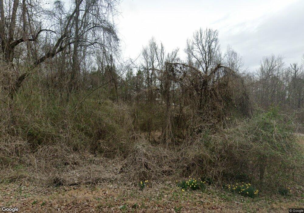
3911 Graves Gap Rd Hayden, AL 35079
Estimated Value: $176,787 - $310,000
Studio
--
Bath
1,658
Sq Ft
$142/Sq Ft
Est. Value
About This Home
This home is located at 3911 Graves Gap Rd, Hayden, AL 35079 and is currently estimated at $235,447, approximately $142 per square foot. 3911 Graves Gap Rd is a home located in Blount County with nearby schools including Hayden Primary School, Hayden Elementary School, and Hayden Middle School.
Ownership History
Date
Name
Owned For
Owner Type
Purchase Details
Closed on
Jan 13, 2022
Sold by
Rogers Lane A
Bought by
Swann Vernon
Current Estimated Value
Home Financials for this Owner
Home Financials are based on the most recent Mortgage that was taken out on this home.
Original Mortgage
$109,250
Outstanding Balance
$99,983
Interest Rate
3.05%
Mortgage Type
New Conventional
Estimated Equity
$135,464
Purchase Details
Closed on
Jul 21, 2008
Sold by
Stanley Carolyn
Bought by
Rogers Lane A
Create a Home Valuation Report for This Property
The Home Valuation Report is an in-depth analysis detailing your home's value as well as a comparison with similar homes in the area
Purchase History
| Date | Buyer | Sale Price | Title Company |
|---|---|---|---|
| Swann Vernon | $115,000 | None Listed On Document | |
| Rogers Lane A | $50,000 | -- |
Source: Public Records
Mortgage History
| Date | Status | Borrower | Loan Amount |
|---|---|---|---|
| Open | Swann Vernon | $109,250 |
Source: Public Records
Tax History
| Year | Tax Paid | Tax Assessment Tax Assessment Total Assessment is a certain percentage of the fair market value that is determined by local assessors to be the total taxable value of land and additions on the property. | Land | Improvement |
|---|---|---|---|---|
| 2024 | $567 | $18,400 | $2,480 | $15,920 |
| 2023 | $540 | $18,400 | $2,480 | $15,920 |
| 2022 | $911 | $28,040 | $2,480 | $25,560 |
| 2021 | $781 | $24,040 | $1,620 | $22,420 |
| 2020 | $0 | $11,580 | $1,600 | $9,980 |
| 2019 | $0 | $11,460 | $1,480 | $9,980 |
| 2018 | $0 | $11,180 | $1,480 | $9,700 |
| 2017 | $0 | $9,780 | $0 | $0 |
| 2015 | -- | $9,380 | $0 | $0 |
| 2014 | -- | $9,380 | $0 | $0 |
| 2013 | -- | $9,320 | $0 | $0 |
Source: Public Records
Map
Nearby Homes
- 3705 Graves Gap Rd
- 1163 Cox Cove Rd
- 1158 Holt Cir
- 250 Runway Dr
- 364 Holt Cir
- 492 Holt Cir
- 345 Cox Cove Rd
- 339 Cox Cove Rd
- 353 Cox Cove Rd Unit 11
- 2511 Graves Gap Rd
- 00 Alabama 160
- 42 Pleasant Valley Cir
- 75 Chestnut View
- 255 Nicole Trail
- 330 Nicole Trail
- 00 Highway 9
- 0 Payton Dr, Lo Cades Cove Rd
- 45 Lee Cir
- 140 Armstrong Loop
- 252 Bailey Way
- 3870 Graves Gap Rd
- 3747 Graves Gap Rd
- 3757 Graves Gap Rd
- 2 Runway Dr Unit 2
- 1385 Cox Cove Rd
- 0 Runway Dr Unit 780333
- 0 Runway Dr Unit 802099
- 0 Runway Dr Unit 814013
- 0 Runway Dr Unit 1 1295118
- 0 Runway Dr Unit Parcel 1 North 10
- 0 Runway Dr Unit 1 891391
- 0 Runway Dr Unit Parcel 2 - SE 10
- 0 Runway Dr Unit Parcel 1 - SW 10
- 0 Runway Dr Unit 1 863920
- 0 Runway Dr Unit 1 830474
- 3695 Graves Gap Rd
- 001 Runway Dr Unit Parcel 3
- 000 Runway Dr Unit Parcel 2
- 80 Runway Dr
- 201 Runway Dr
