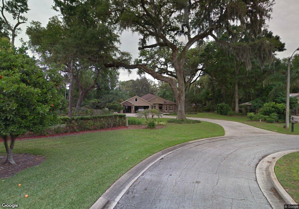
3911 Tano Dr Ormond Beach, FL 32174
Halifax Plantation NeighborhoodEstimated Value: $537,968 - $589,000
4
Beds
2
Baths
2,413
Sq Ft
$234/Sq Ft
Est. Value
About This Home
This home is located at 3911 Tano Dr, Ormond Beach, FL 32174 and is currently estimated at $564,992, approximately $234 per square foot. 3911 Tano Dr is a home located in Volusia County with nearby schools including Pine Trail Elementary School, Ormond Beach Middle School, and Seabreeze High School.
Ownership History
Date
Name
Owned For
Owner Type
Purchase Details
Closed on
May 11, 2016
Sold by
Gte Financial Corp
Bought by
Lenning Crystal and Lewis Carrie
Current Estimated Value
Purchase Details
Closed on
Jun 25, 2015
Sold by
Lewis Dwight D and Lewis Carrie
Bought by
Lewis Carrie
Purchase Details
Closed on
Jun 22, 2000
Sold by
Lansaw Troy and Lansaw Vera M
Bought by
Lewis Ii Dwight D and Lewis Carrie E
Purchase Details
Closed on
Jun 15, 1986
Bought by
Lewis Carrie
Purchase Details
Closed on
Oct 15, 1983
Bought by
Lewis Carrie
Create a Home Valuation Report for This Property
The Home Valuation Report is an in-depth analysis detailing your home's value as well as a comparison with similar homes in the area
Home Values in the Area
Average Home Value in this Area
Purchase History
| Date | Buyer | Sale Price | Title Company |
|---|---|---|---|
| Lenning Crystal | $30,100 | Adams Cameron Title Svcs Inc | |
| Lewis Carrie | -- | Attorney | |
| Lewis Ii Dwight D | $31,000 | -- | |
| Lewis Carrie | $24,000 | -- | |
| Lewis Carrie | $100 | -- |
Source: Public Records
Tax History
| Year | Tax Paid | Tax Assessment Tax Assessment Total Assessment is a certain percentage of the fair market value that is determined by local assessors to be the total taxable value of land and additions on the property. | Land | Improvement |
|---|---|---|---|---|
| 2026 | $4,907 | $312,090 | -- | -- |
| 2025 | $4,907 | $303,886 | -- | -- |
| 2024 | $4,731 | $295,322 | -- | -- |
| 2023 | $4,731 | $286,721 | $0 | $0 |
| 2022 | $4,651 | $278,370 | $0 | $0 |
| 2021 | $4,781 | $270,262 | $0 | $0 |
| 2020 | $4,703 | $266,531 | $0 | $0 |
| 2019 | $4,656 | $260,539 | $0 | $0 |
| 2018 | $4,623 | $255,681 | $0 | $0 |
| 2017 | $4,630 | $250,422 | $0 | $0 |
| 2016 | $4,702 | $245,271 | $0 | $0 |
| 2015 | $4,827 | $243,566 | $0 | $0 |
| 2014 | $4,635 | $239,726 | $0 | $0 |
Source: Public Records
Map
Nearby Homes
- 3908 Tano Dr
- 1309 Wicklow Ln
- 3763 Carrick Dr
- 3965 Acoma Dr
- 3751 Carrick Dr
- 1405 Newry Cir
- 3709 Donegal Cir
- 3735 Roscommon Dr
- 1320 Antrim Cir
- 1333 Antrim Cir
- 2173 Raglan Cir
- 3639 Mallow Dr
- 2170 Raglan Cir
- 2137 Raglan Cir
- 4107 Gilford Cir
- 3509 Tory Cir
- 2128 Raglan Cir
- 2123 Raglan Cir
- 1128 Killarney Dr
- 4111 Clifden Dr
Your Personal Tour Guide
Ask me questions while you tour the home.