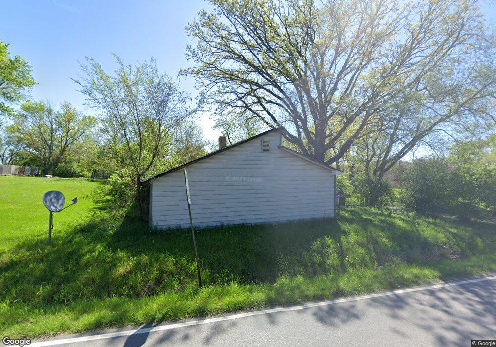
3912 W 113th Ave Crown Point, IN 46307
Estimated Value: $271,000 - $427,696
4
Beds
4
Baths
3,293
Sq Ft
$104/Sq Ft
Est. Value
About This Home
This home is located at 3912 W 113th Ave, Crown Point, IN 46307 and is currently estimated at $342,674, approximately $104 per square foot. 3912 W 113th Ave is a home located in Lake County with nearby schools including Lake Street Elementary School, Robert Taft Middle School, and Crown Point High School.
Ownership History
Date
Name
Owned For
Owner Type
Purchase Details
Closed on
Jan 27, 2012
Sold by
Brown Robert C and Brown Carol
Bought by
Wade & Dunn Land Trust #1351 & P
Current Estimated Value
Purchase Details
Closed on
Aug 23, 2007
Sold by
Krstevski Bob and Krstevski Luba
Bought by
Brown Robert C and Brown Carol
Home Financials for this Owner
Home Financials are based on the most recent Mortgage that was taken out on this home.
Original Mortgage
$74,500
Interest Rate
9.12%
Mortgage Type
Unknown
Create a Home Valuation Report for This Property
The Home Valuation Report is an in-depth analysis detailing your home's value as well as a comparison with similar homes in the area
Home Values in the Area
Average Home Value in this Area
Purchase History
| Date | Buyer | Sale Price | Title Company |
|---|---|---|---|
| Wade & Dunn Land Trust #1351 & P | -- | None Available | |
| Brown Robert C | -- | Community Title Company |
Source: Public Records
Mortgage History
| Date | Status | Borrower | Loan Amount |
|---|---|---|---|
| Previous Owner | Brown Robert C | $74,500 |
Source: Public Records
Tax History Compared to Growth
Tax History
| Year | Tax Paid | Tax Assessment Tax Assessment Total Assessment is a certain percentage of the fair market value that is determined by local assessors to be the total taxable value of land and additions on the property. | Land | Improvement |
|---|---|---|---|---|
| 2024 | $3,043 | $148,200 | $53,200 | $95,000 |
| 2023 | $2,586 | $143,200 | $53,200 | $90,000 |
| 2022 | $3,592 | $192,400 | $53,200 | $139,200 |
| 2021 | $3,248 | $182,300 | $52,600 | $129,700 |
| 2020 | $3,297 | $175,300 | $52,600 | $122,700 |
| 2019 | $3,333 | $171,500 | $52,600 | $118,900 |
| 2018 | $3,430 | $166,900 | $52,600 | $114,300 |
| 2017 | $3,331 | $159,900 | $52,600 | $107,300 |
| 2016 | $3,219 | $153,400 | $52,600 | $100,800 |
| 2014 | $2,958 | $151,700 | $52,500 | $99,200 |
| 2013 | $2,970 | $152,300 | $52,500 | $99,800 |
Source: Public Records
Map
Nearby Homes
- 11341 Lakewood St
- 629 W South St
- 114 S Chase Dr
- 908 Mary Ellen Dr
- 10813 Lane St
- 1 Walnut Pkwy
- 775 Quinlan Ct
- 11531 Westvalley Dr
- 321 Bluebird Ave
- 334 Ellendale Pkwy
- 312 Fairfield Dr
- 7830 W 106th Ln
- 7770 W 106th Ln
- 804 Shannon Dr
- 700 Meadow Ln
- 316 W South St
- 1140 Hyde Park
- 11606 Westvalley Dr
- 11224 Durbin Place
- 0 W Joliet St
- 3921 W 113th Ave
- 3929 W 113th Ave
- 4003 W 113th Ave
- 4011 W 113th Ave
- 11211 Whitcomb St
- 4021 W 113th Ave
- 4027 W 113th Ave
- 11177 Whitcomb St
- 11200 Whitcomb St
- 447 O'Hagan Dr
- 447 O Hagan Dr
- 439 O Hagan Dr
- 431 O Hagan Dr
- 439 O'Hagan Dr
- 455 O Hagan Dr
- 423 O Hagan Dr
- 11167 Whitcomb St
- 463 O'Hagan Dr
- 415 O Hagan Dr
- 463 O Hagan Dr