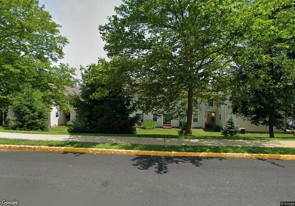
3913 Captain Molly Cir Unit 128 Doylestown, PA 18902
Plumstead NeighborhoodEstimated Value: $322,067 - $336,000
2
Beds
2
Baths
1,120
Sq Ft
$291/Sq Ft
Est. Value
About This Home
This home is located at 3913 Captain Molly Cir Unit 128, Doylestown, PA 18902 and is currently estimated at $326,267, approximately $291 per square foot. 3913 Captain Molly Cir Unit 128 is a home located in Bucks County with nearby schools including Groveland Elementary School, Tohickon Middle School, and Central Bucks High School-West.
Ownership History
Date
Name
Owned For
Owner Type
Purchase Details
Closed on
Jul 31, 1995
Sold by
Patriots Ridge Corp
Bought by
Wagenmann Michelle
Current Estimated Value
Home Financials for this Owner
Home Financials are based on the most recent Mortgage that was taken out on this home.
Original Mortgage
$93,500
Interest Rate
7.56%
Create a Home Valuation Report for This Property
The Home Valuation Report is an in-depth analysis detailing your home's value as well as a comparison with similar homes in the area
Home Values in the Area
Average Home Value in this Area
Purchase History
| Date | Buyer | Sale Price | Title Company |
|---|---|---|---|
| Wagenmann Michelle | $98,575 | -- |
Source: Public Records
Mortgage History
| Date | Status | Borrower | Loan Amount |
|---|---|---|---|
| Previous Owner | Wagenmann Michelle | $93,500 |
Source: Public Records
Tax History Compared to Growth
Tax History
| Year | Tax Paid | Tax Assessment Tax Assessment Total Assessment is a certain percentage of the fair market value that is determined by local assessors to be the total taxable value of land and additions on the property. | Land | Improvement |
|---|---|---|---|---|
| 2025 | $3,426 | $19,720 | -- | $19,720 |
| 2024 | $3,426 | $19,720 | $0 | $19,720 |
| 2023 | $3,317 | $19,720 | $0 | $19,720 |
| 2022 | $3,280 | $19,720 | $0 | $19,720 |
| 2021 | $3,244 | $19,720 | $0 | $19,720 |
| 2020 | $3,244 | $19,720 | $0 | $19,720 |
| 2019 | $3,224 | $19,720 | $0 | $19,720 |
| 2018 | $3,224 | $19,720 | $0 | $19,720 |
| 2017 | $3,180 | $19,720 | $0 | $19,720 |
| 2016 | $3,180 | $19,720 | $0 | $19,720 |
| 2015 | -- | $19,720 | $0 | $19,720 |
| 2014 | -- | $19,720 | $0 | $19,720 |
Source: Public Records
Map
Nearby Homes
- 3723 William Daves Rd
- 3765 William Daves Rd
- 3600 Jacob Stout Rd Unit 3
- 4748 Bishop Cir
- 114 Blackfriars Cir
- 100 Bishops Gate Ln Unit 67
- 3711 Jacob Stout Rd Unit 5
- 3838 Jacob Stout Rd
- 194 Victoria Ct Unit 143
- 301 Windy Run Rd
- 3923 Ferry Rd
- 90 Chapman Ave
- Madison Plan at Clover Hill Crossing
- Rittenhouse Plan at Clover Hill Crossing
- Harrison Plan at Clover Hill Crossing
- Chapel Hill Plan at Clover Hill Crossing
- Georgetown Plan at Clover Hill Crossing
- Fenimore Plan at Clover Hill Crossing
- 4263 Kleinot Dr
- 4317 Kleinot Dr
- 3913 Captain Molly Cir
- 3911 Captain Molly Cir Unit 127
- 3909 Captain Molly Cir Unit 126
- 3917 Captain Molly Cir Unit AIN
- 3917 Captain Molly Cir Unit 130
- 3915 Captain Molly Cir Unit 129
- 3921 Captain Molly Cir Unit AIN
- 3921 Captain Molly Cir Unit 132
- 3949 Captain Molly Cir Unit 144
- 3923 Captain Molly Cir Unit 133
- 3923 Captain Molly Cir Unit AIN
- 3951 Captain Molly Cir Unit 145
- 3951 Captain Molly Cir Unit AIN
- 3947 Captain Molly Cir Unit 143
- 3947 Captain Molly Cir Unit AIN
- 3925 Captain Molly Cir Unit 134
- 3925 Captain Molly Cir Unit AIN
- 3945 Captain Molly Cir Unit 142
- 3927 Captain Molly Cir Unit AIN
- 3927 Captain Molly Cir Unit 135