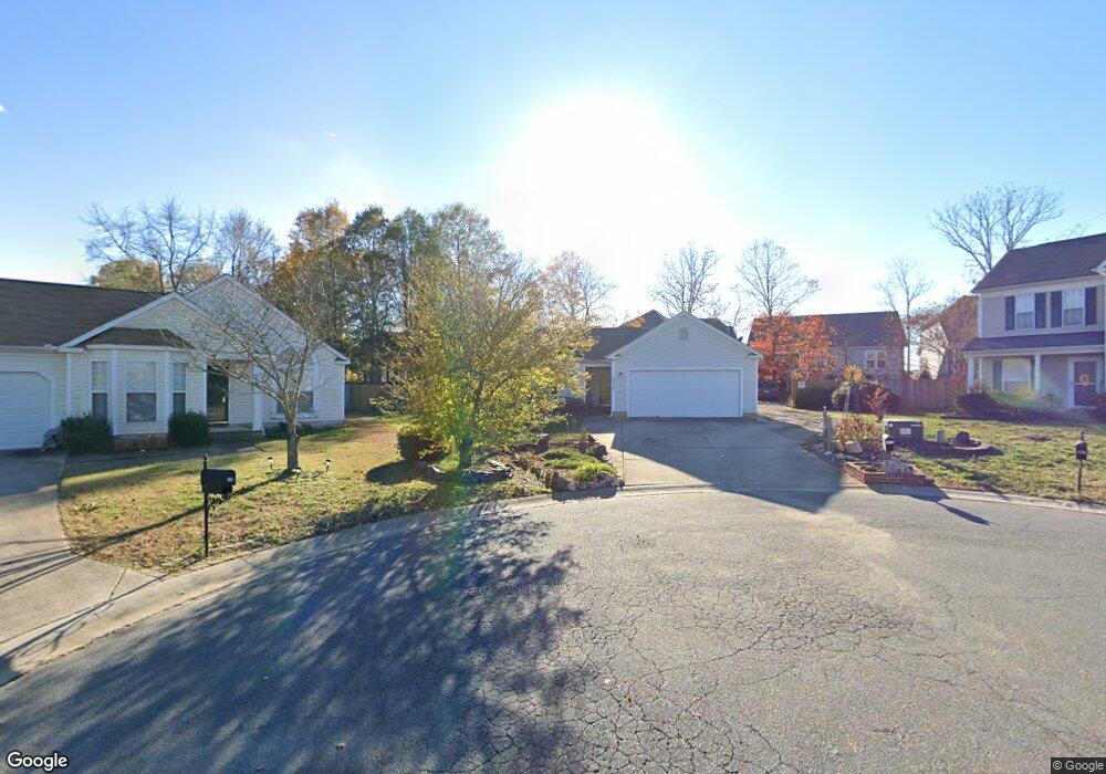
3913 Cardinal Bluff Ln Indian Trail, NC 28079
Estimated Value: $323,000 - $343,000
2
Beds
2
Baths
1,218
Sq Ft
$274/Sq Ft
Est. Value
About This Home
This home is located at 3913 Cardinal Bluff Ln, Indian Trail, NC 28079 and is currently estimated at $333,410, approximately $273 per square foot. 3913 Cardinal Bluff Ln is a home located in Union County with nearby schools including Sardis Elementary School, Porter Ridge Middle School, and Porter Ridge High School.
Ownership History
Date
Name
Owned For
Owner Type
Purchase Details
Closed on
Aug 14, 2000
Sold by
Mulvaney Homes Inc
Bought by
Flores Sosa Tomas and Flores Sosa Alicia
Current Estimated Value
Home Financials for this Owner
Home Financials are based on the most recent Mortgage that was taken out on this home.
Original Mortgage
$110,583
Outstanding Balance
$40,124
Interest Rate
8.23%
Mortgage Type
FHA
Estimated Equity
$293,286
Create a Home Valuation Report for This Property
The Home Valuation Report is an in-depth analysis detailing your home's value as well as a comparison with similar homes in the area
Home Values in the Area
Average Home Value in this Area
Purchase History
| Date | Buyer | Sale Price | Title Company |
|---|---|---|---|
| Flores Sosa Tomas | $111,500 | -- |
Source: Public Records
Mortgage History
| Date | Status | Borrower | Loan Amount |
|---|---|---|---|
| Open | Flores Sosa Tomas | $110,583 |
Source: Public Records
Tax History Compared to Growth
Tax History
| Year | Tax Paid | Tax Assessment Tax Assessment Total Assessment is a certain percentage of the fair market value that is determined by local assessors to be the total taxable value of land and additions on the property. | Land | Improvement |
|---|---|---|---|---|
| 2024 | $1,748 | $205,600 | $38,900 | $166,700 |
| 2023 | $1,733 | $205,600 | $38,900 | $166,700 |
| 2022 | $1,733 | $205,600 | $38,900 | $166,700 |
| 2021 | $1,733 | $205,600 | $38,900 | $166,700 |
| 2020 | $1,028 | $131,800 | $24,000 | $107,800 |
| 2019 | $1,325 | $131,800 | $24,000 | $107,800 |
| 2018 | $1,028 | $131,800 | $24,000 | $107,800 |
| 2017 | $1,393 | $131,800 | $24,000 | $107,800 |
| 2016 | $1,074 | $131,800 | $24,000 | $107,800 |
| 2015 | $1,091 | $131,800 | $24,000 | $107,800 |
| 2014 | $901 | $126,070 | $25,000 | $101,070 |
Source: Public Records
Map
Nearby Homes
- 2006 Paddington Dr
- 3013 Doughton Ln
- 2026 Union Grove Ln
- 1009 Kemp Rd
- 3702 Arthur St
- 3613 Arthur St
- 3612 Esther St
- 3900 Crimson Wing Dr
- 1010 Glen Hollow Dr
- 5901 Creft Cir
- 6017 Creft Cir
- 3722 Society Ct
- 6107 Margaret Ct
- 6045 Creft Cir
- 5706 Sustar Dr
- 7002 Creft Cir
- 7005 Creft Cir
- 3800 York Alley
- 4311 Ethel Sustar Dr
- 6303 Margaret Ct Unit 82
- 3911 Cardinal Bluff Ln
- 2013 Paddington Dr
- 3912 Cardinal Bluff Ln
- 2017 Paddington Dr
- 4002 Sunrose Ct
- 2005 Paddington Dr
- 2021 Paddington Dr
- 2021 Paddington Dr Unit 161
- 3910 Cardinal Bluff Ln
- 4000 Sunrose Ct
- 3909 Cardinal Bluff Ln
- 3908 Cardinal Bluff Ln
- 3001 Paddington Dr
- 3906 Sunrose Ct
- 3907 Cardinal Bluff Ln
- 3906 Cardinal Bluff Ln
- 2010 Paddington Dr
- 2010 Paddington Dr Unit 155
- 3005 Paddington Dr
- 4005 Sunrose Ct