3913 Chippewa Cir Sedalia, CO 80135
Estimated Value: $832,000 - $1,140,000
4
Beds
3
Baths
2,970
Sq Ft
$347/Sq Ft
Est. Value
About This Home
This home is located at 3913 Chippewa Cir, Sedalia, CO 80135 and is currently estimated at $1,032,056, approximately $347 per square foot. 3913 Chippewa Cir is a home located in Douglas County with nearby schools including Sedalia Elementary School, Castle Rock Middle School, and Castle View High School.
Ownership History
Date
Name
Owned For
Owner Type
Purchase Details
Closed on
Aug 27, 2004
Sold by
Tullos Sheila M
Bought by
Ibrahim Randolph A
Current Estimated Value
Home Financials for this Owner
Home Financials are based on the most recent Mortgage that was taken out on this home.
Original Mortgage
$280,000
Outstanding Balance
$139,551
Interest Rate
5.97%
Mortgage Type
Unknown
Estimated Equity
$892,505
Purchase Details
Closed on
Dec 3, 1997
Sold by
Harrier David R and Tullos Sheila M
Bought by
Tullos Sheila M
Purchase Details
Closed on
Sep 19, 1997
Sold by
Harrier David R
Bought by
Tullos Sheila
Purchase Details
Closed on
Apr 28, 1995
Sold by
Barber Joseph P and Barber Sandra M
Bought by
Tullos Sheila M and Harrier David R
Home Financials for this Owner
Home Financials are based on the most recent Mortgage that was taken out on this home.
Original Mortgage
$203,150
Interest Rate
8.36%
Purchase Details
Closed on
Sep 8, 1970
Sold by
Indian Creek Investment Company
Bought by
Barber Joseph P and Barber Sandra M
Create a Home Valuation Report for This Property
The Home Valuation Report is an in-depth analysis detailing your home's value as well as a comparison with similar homes in the area
Home Values in the Area
Average Home Value in this Area
Purchase History
| Date | Buyer | Sale Price | Title Company |
|---|---|---|---|
| Ibrahim Randolph A | $350,000 | -- | |
| Tullos Sheila M | -- | -- | |
| Tullos Sheila | $5,000 | -- | |
| Tullos Sheila M | $214,900 | Land Title | |
| Barber Joseph P | $9,300 | -- |
Source: Public Records
Mortgage History
| Date | Status | Borrower | Loan Amount |
|---|---|---|---|
| Open | Ibrahim Randolph A | $280,000 | |
| Previous Owner | Tullos Sheila M | $203,150 |
Source: Public Records
Tax History Compared to Growth
Tax History
| Year | Tax Paid | Tax Assessment Tax Assessment Total Assessment is a certain percentage of the fair market value that is determined by local assessors to be the total taxable value of land and additions on the property. | Land | Improvement |
|---|---|---|---|---|
| 2024 | $6,758 | $66,250 | $26,960 | $39,290 |
| 2023 | $6,802 | $66,250 | $26,960 | $39,290 |
| 2022 | $3,711 | $43,590 | $19,240 | $24,350 |
| 2021 | $3,973 | $43,590 | $19,240 | $24,350 |
| 2020 | $3,695 | $41,190 | $16,330 | $24,860 |
| 2019 | $3,703 | $41,190 | $16,330 | $24,860 |
| 2018 | $3,106 | $33,070 | $12,880 | $20,190 |
| 2017 | $2,958 | $33,070 | $12,880 | $20,190 |
| 2016 | $2,902 | $32,810 | $13,530 | $19,280 |
| 2015 | $2,919 | $32,810 | $13,530 | $19,280 |
| 2014 | $1,353 | $28,000 | $9,550 | $18,450 |
Source: Public Records
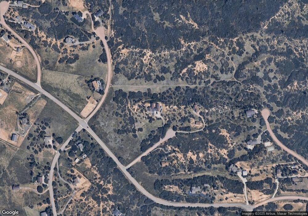
Map
Nearby Homes
- 6751 Cherokee Dr
- 3120 Bears Den Dr
- 3013 Bears Den Dr
- 5740 Lambert Ranch Trail
- 6555 Meadowbrook Ln
- 7037 W Meadowbrook Ln
- 3330 Tweet Place
- 2367 Keep Dr
- 7225 Box Canyon Rd
- 3248 Tweet Place Unit Parcel 9
- 3755 N Rampart Range Rd
- 2575 N State Highway 67
- 4279 Sanctuary Way
- 3878 Turret Ln Unit 37
- 2810 Bartizan Ln Unit 19
- 1150 Madge Gulch Rd
- 2814 Charlford Ln
- 6406 E Roxborough Dr Unit 42
- 6362 E Roxborough Dr Unit 43
- 6494 E Roxborough Dr Unit 40
- 3949 Chippewa Cir
- 3878 Chippewa Cir
- 3965 Cherokee Place
- 177 Cherokee Dr
- 6123 Rainbow Creek Rd
- 3973 Sioux Ct
- 6045 Rainbow Creek Rd
- 6388 W Rainbow Creek Rd
- 6420 Cherokee Dr
- 3897 Sioux Ct
- 4055 Cherokee Place
- 4080 Cherokee Place
- 6524 Rainbow Creek Rd
- 6388 Rainbow Creek Rd
- 4103 Cherokee Place
- 6586 Rainbow Creek Rd
- 6415 Cherokee Dr
- 6038 Rainbow Creek Rd
- 6496 Cherokee Dr
- 6020 Rainbow Creek Rd