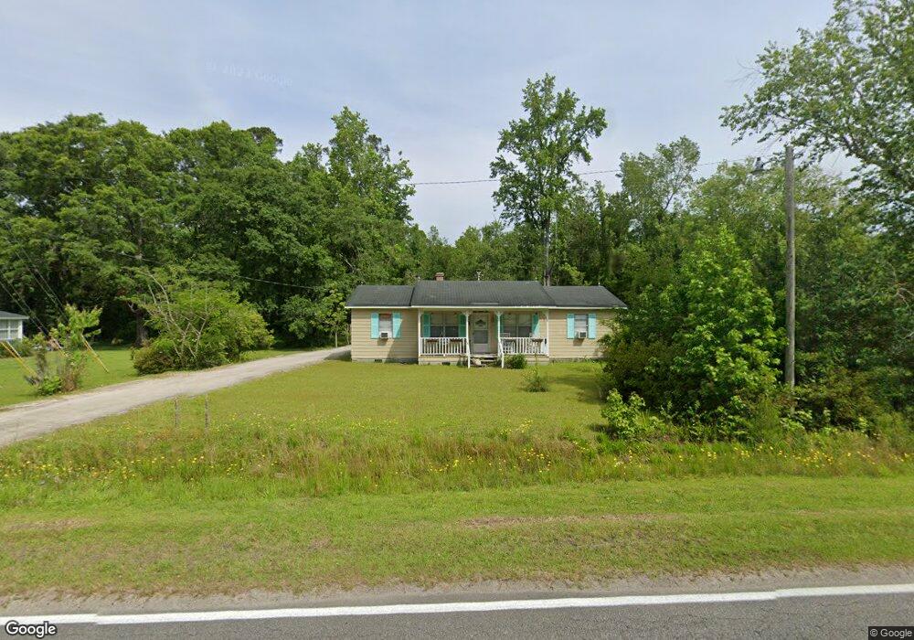
3913 Highway 472 Conway, SC 29526
Estimated Value: $200,941 - $230,000
3
Beds
2
Baths
1,056
Sq Ft
$204/Sq Ft
Est. Value
About This Home
This home is located at 3913 Highway 472, Conway, SC 29526 and is currently estimated at $215,485, approximately $204 per square foot. 3913 Highway 472 is a home with nearby schools including Kingston Elementary School, Conway Middle School, and Conway High School.
Ownership History
Date
Name
Owned For
Owner Type
Purchase Details
Closed on
Feb 7, 2018
Sold by
Jcmsc Llc
Bought by
Richardson Robin Lynne
Current Estimated Value
Home Financials for this Owner
Home Financials are based on the most recent Mortgage that was taken out on this home.
Original Mortgage
$50,000
Interest Rate
3.94%
Mortgage Type
New Conventional
Purchase Details
Closed on
Jan 18, 2018
Sold by
Holt Francis M
Bought by
Jcmsc Llc
Home Financials for this Owner
Home Financials are based on the most recent Mortgage that was taken out on this home.
Original Mortgage
$50,000
Interest Rate
3.94%
Mortgage Type
New Conventional
Create a Home Valuation Report for This Property
The Home Valuation Report is an in-depth analysis detailing your home's value as well as a comparison with similar homes in the area
Home Values in the Area
Average Home Value in this Area
Purchase History
| Date | Buyer | Sale Price | Title Company |
|---|---|---|---|
| Richardson Robin Lynne | $73,000 | -- | |
| Jcmsc Llc | $54,000 | -- |
Source: Public Records
Mortgage History
| Date | Status | Borrower | Loan Amount |
|---|---|---|---|
| Closed | Jcmsc Llc | $50,000 |
Source: Public Records
Tax History Compared to Growth
Tax History
| Year | Tax Paid | Tax Assessment Tax Assessment Total Assessment is a certain percentage of the fair market value that is determined by local assessors to be the total taxable value of land and additions on the property. | Land | Improvement |
|---|---|---|---|---|
| 2024 | $1,336 | $8,631 | $4,050 | $4,581 |
| 2023 | $1,336 | $5,394 | $1,668 | $3,726 |
| 2021 | $1,236 | $5,394 | $1,668 | $3,726 |
| 2020 | $1,150 | $5,394 | $1,668 | $3,726 |
| 2019 | $1,150 | $5,394 | $1,668 | $3,726 |
| 2018 | $100 | $3,925 | $1,027 | $2,898 |
| 2017 | $85 | $2,616 | $684 | $1,932 |
| 2016 | $0 | $2,616 | $684 | $1,932 |
| 2015 | -- | $2,617 | $685 | $1,932 |
| 2014 | $80 | $2,617 | $685 | $1,932 |
Source: Public Records
Map
Nearby Homes
- 183 Kellys Cove Dr
- Lot 4 Kellys Cove Dr
- 3700 Highway 19
- 222 Highway 471
- 3695 S Carolina 905
- 319 Pickney Ct
- 3390 Highway 19
- 4037 Highway 905
- 133 Alpharetta Ct
- 926 Eula Dr
- 604 McClain Farm Ct
- 709 Bull Farm Ct
- 5653 Highway 668
- 4423 S Carolina 905
- TBD Old Reaves Ferry Rd Unit TBD Old Highway 90
- TBD Old Reaves Ferry Rd
- TBD Old Reaves Ferry Rd Unit 147.38 Acres
- TBD 22.66 Berley Mc Rd
- TBD Dukes Rd
- 1274 Rodney Rd
- 3903 Highway 472
- 3920 Highway 472
- 3937 Highway 472
- 3932 Highway 472
- 3936 Highway 472
- 3850 Highway 472
- 3847 Highway 472
- 3944 Highway 472
- 3872 Highway 472
- 3806 Highway 472
- 4097 Highway 472
- 3765 Highway 472
- 4198 Highway 472
- 145 Gunsmoke Trail
- 3761 Highway 472
- 3751 Highway 472
- 3769 Highway 472
- 4133 Highway 472
- 4133 Highway 472
- 3733 Highway 472