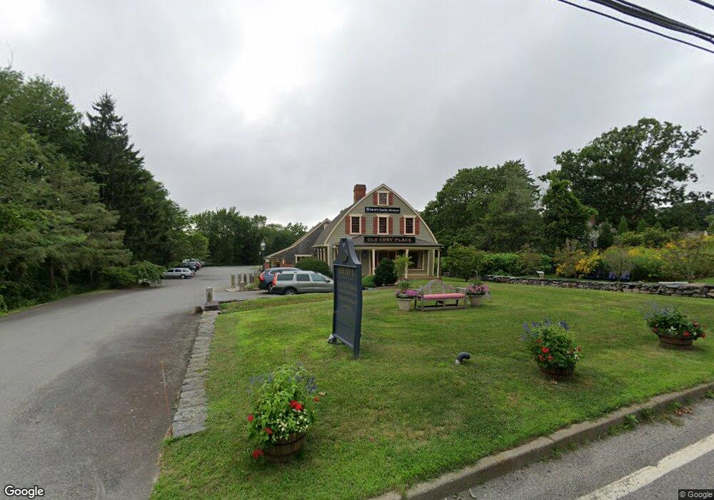
3913 Main Rd Tiverton, RI 02878
Four Corners NeighborhoodEstimated Value: $1,180,476
--
Bed
--
Bath
9,819
Sq Ft
$120/Sq Ft
Est. Value
About This Home
This home is located at 3913 Main Rd, Tiverton, RI 02878 and is currently estimated at $1,180,476, approximately $120 per square foot. 3913 Main Rd is a home located in Newport County with nearby schools including Tiverton High School.
Ownership History
Date
Name
Owned For
Owner Type
Purchase Details
Closed on
Feb 2, 2021
Sold by
Old Cory Place Llc
Bought by
Main Road Holdings Llc
Current Estimated Value
Home Financials for this Owner
Home Financials are based on the most recent Mortgage that was taken out on this home.
Original Mortgage
$623,625
Outstanding Balance
$556,796
Interest Rate
2.6%
Mortgage Type
Purchase Money Mortgage
Estimated Equity
$623,680
Purchase Details
Closed on
Jan 4, 2013
Sold by
Neville Gary C
Bought by
Oldcory Place Llc
Purchase Details
Closed on
Dec 31, 1986
Bought by
Oldcory Place Llc
Create a Home Valuation Report for This Property
The Home Valuation Report is an in-depth analysis detailing your home's value as well as a comparison with similar homes in the area
Home Values in the Area
Average Home Value in this Area
Purchase History
| Date | Buyer | Sale Price | Title Company |
|---|---|---|---|
| Main Road Holdings Llc | $796,500 | None Available | |
| Oldcory Place Llc | -- | -- | |
| Oldcory Place Llc | -- | -- |
Source: Public Records
Mortgage History
| Date | Status | Borrower | Loan Amount |
|---|---|---|---|
| Open | Main Road Holdings Llc | $623,625 |
Source: Public Records
Tax History Compared to Growth
Tax History
| Year | Tax Paid | Tax Assessment Tax Assessment Total Assessment is a certain percentage of the fair market value that is determined by local assessors to be the total taxable value of land and additions on the property. | Land | Improvement |
|---|---|---|---|---|
| 2025 | $10,374 | $938,800 | $256,600 | $682,200 |
| 2024 | $10,374 | $938,800 | $256,600 | $682,200 |
| 2023 | $14,232 | $955,200 | $213,900 | $741,300 |
| 2022 | $13,975 | $955,200 | $213,900 | $741,300 |
| 2021 | $11,186 | $783,900 | $194,700 | $589,200 |
| 2020 | $13,413 | $828,500 | $183,300 | $645,200 |
| 2019 | $13,082 | $828,500 | $183,300 | $645,200 |
| 2018 | $12,828 | $782,700 | $183,300 | $599,400 |
| 2017 | $14,046 | $737,300 | $170,000 | $567,300 |
| 2016 | $14,112 | $737,300 | $170,000 | $567,300 |
| 2015 | $14,112 | $737,300 | $170,000 | $567,300 |
| 2014 | $14,483 | $750,400 | $170,000 | $580,400 |
Source: Public Records
Map
Nearby Homes
- 24 Peaceful Way
- 3622 Main Rd
- 7 Gadsby Ln
- 82 Nonquit Ln
- 3333 Main Rd
- 60 Edmond Ln
- 0 S Lake Rd Unit 73361665
- 0 S Lake Rd Unit 1382842
- 0 S Lake Rd Unit 1400795
- 0 Seapowet Ave
- 451 Seapowet Ave
- 3118 Main Rd
- 55 W Main Rd
- 90 Two Rod Rd
- 32 Arrowhead Dr
- 83 Long Hwy
- 46 Arrowhead Dr
- 60 Philip Ave
- 0 Main Rd
- 29 Williams St
- 3913 Main Rd Unit G
- 3913 Main Rd Unit A & B
- 3913 Main Rd Unit C
- 8 Puncatest Neck Rd
- 8 Neck Rd
- 3895 Main Rd
- 0 Neck Rd Unit 1121190
- 0 Puncatest Neck Rd Unit 71499578
- 0 Puncatest Neck Rd Unit 443351
- 0 Puncatest Neck Rd Unit 710790
- 0 Puncatest Neck Rd Unit 710794
- 0 Puncatest Neck Rd Unit 1036774
- 0 Puncatest Neck Rd Unit 1182355
- 3908 Main Rd
- 3883 Main Rd
- 3920 Main Rd
- 0 E Rd (Lot 103) Unit 72110418
- 36 Neck Rd
- 3924 Main Rd
- 3941 Main Rd