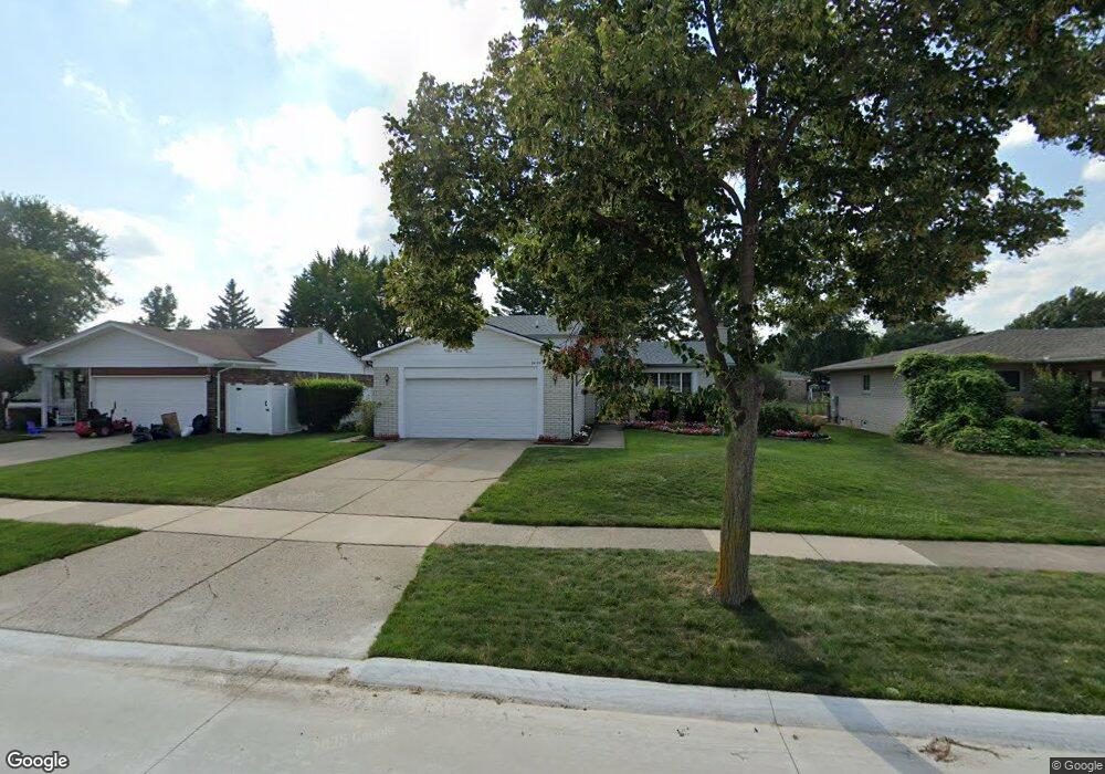
39139 Owendale Dr Unit Bldg-Unit Sterling Heights, MI 48310
Estimated Value: $347,000 - $376,000
--
Bed
2
Baths
1,821
Sq Ft
$198/Sq Ft
Est. Value
About This Home
This home is located at 39139 Owendale Dr Unit Bldg-Unit, Sterling Heights, MI 48310 and is currently estimated at $360,101, approximately $197 per square foot. 39139 Owendale Dr Unit Bldg-Unit is a home located in Macomb County with nearby schools including Schuchard Elementary School, Frank Jeannette Junior High School, and Adlai Stevenson High School.
Ownership History
Date
Name
Owned For
Owner Type
Purchase Details
Closed on
May 25, 2018
Sold by
Vasoski Dejan and Vasoski Christine
Bought by
Divechn Nutesh
Current Estimated Value
Purchase Details
Closed on
Mar 6, 2007
Sold by
Mortgage Electronic Registration Systems
Bought by
Federal National Mortgage Association
Purchase Details
Closed on
Feb 9, 2007
Sold by
Abdullah Elias and Abdullah Kara Nibal
Bought by
Mortgage Electronic Registration Systems
Purchase Details
Closed on
Sep 28, 2000
Sold by
Pace William M
Bought by
Abdullah Elias
Home Financials for this Owner
Home Financials are based on the most recent Mortgage that was taken out on this home.
Original Mortgage
$167,200
Interest Rate
7.87%
Mortgage Type
Purchase Money Mortgage
Create a Home Valuation Report for This Property
The Home Valuation Report is an in-depth analysis detailing your home's value as well as a comparison with similar homes in the area
Home Values in the Area
Average Home Value in this Area
Purchase History
| Date | Buyer | Sale Price | Title Company |
|---|---|---|---|
| Divechn Nutesh | $231,000 | Devon Title Agency | |
| Federal National Mortgage Association | -- | None Available | |
| Mortgage Electronic Registration Systems | $167,617 | None Available | |
| Abdullah Elias | $176,000 | -- |
Source: Public Records
Mortgage History
| Date | Status | Borrower | Loan Amount |
|---|---|---|---|
| Previous Owner | Abdullah Elias | $167,200 |
Source: Public Records
Tax History Compared to Growth
Tax History
| Year | Tax Paid | Tax Assessment Tax Assessment Total Assessment is a certain percentage of the fair market value that is determined by local assessors to be the total taxable value of land and additions on the property. | Land | Improvement |
|---|---|---|---|---|
| 2025 | $4,703 | $156,600 | $0 | $0 |
| 2024 | $4,300 | $147,700 | $0 | $0 |
| 2023 | $4,060 | $133,900 | $0 | $0 |
| 2022 | $4,232 | $122,300 | $0 | $0 |
| 2021 | $4,145 | $115,900 | $0 | $0 |
| 2020 | $3,697 | $107,400 | $0 | $0 |
| 2019 | $3,787 | $104,000 | $0 | $0 |
| 2018 | $2,446 | $86,300 | $0 | $0 |
| 2017 | $2,337 | $81,900 | $16,200 | $65,700 |
| 2016 | $2,258 | $81,900 | $0 | $0 |
| 2015 | -- | $73,300 | $0 | $0 |
| 2014 | -- | $61,500 | $0 | $0 |
Source: Public Records
Map
Nearby Homes
- 3600 Brandi Dr
- 3816 Pokley Ct
- 3514 Bates Dr
- 39327 Timberlane Dr
- 3038 Donna Dr
- 3349 Dobbin Dr
- 38576 Cottonwood Dr
- 38338 Coronation Dr
- 40034 Kristen Dr
- 3777 Hamlet Dr
- 2238 Nadine Dr
- 4768 Dreon Ct
- 4622 Ardmore Dr
- 2233 Mellowood Dr
- 3217 Barton Dr
- 3849 Barg Dr
- 2452 Jonathan Dr
- 4325 Fox Hill Dr
- 40444 Harmon Dr
- 4653 Lucerne Dr
- 39139 Owendale Dr
- 39151 Owendale Dr
- 39127 Owendale Dr
- 39138 Faith Dr
- 39115 Owendale Dr
- 39163 Owendale Dr
- 39150 Faith Dr
- 39126 Faith Dr
- 39303 Owendale Dr
- 3545 Del Monte Dr
- 39103 Owendale Dr
- 3614 Brandi Dr
- 3403 17 Mile Rd
- 39114 Faith Dr
- 39315 Owendale Dr
- 3455 17 Mile Rd
- 3557 Del Monte Dr
- 39306 Owendale Dr
- 39174 Faith Dr
- 3626 Brandi Dr