3914 12th St Wayland, MI 49348
Estimated Value: $428,000 - $519,731
--
Bed
2
Baths
2,030
Sq Ft
$233/Sq Ft
Est. Value
About This Home
This home is located at 3914 12th St, Wayland, MI 49348 and is currently estimated at $473,866, approximately $233 per square foot. 3914 12th St is a home located in Allegan County with nearby schools including Wayland High School, Moline Christian School, and St. Therese Catholic School.
Ownership History
Date
Name
Owned For
Owner Type
Purchase Details
Closed on
Mar 26, 2014
Sold by
Convissor Philip J and Convissor Hannelore
Bought by
Convissor Philip J and Convissor Hannelore
Current Estimated Value
Home Financials for this Owner
Home Financials are based on the most recent Mortgage that was taken out on this home.
Original Mortgage
$92,550
Outstanding Balance
$70,355
Interest Rate
4.34%
Mortgage Type
New Conventional
Estimated Equity
$403,511
Purchase Details
Closed on
Jan 19, 1995
Sold by
Convissor Philip J
Create a Home Valuation Report for This Property
The Home Valuation Report is an in-depth analysis detailing your home's value as well as a comparison with similar homes in the area
Home Values in the Area
Average Home Value in this Area
Purchase History
| Date | Buyer | Sale Price | Title Company |
|---|---|---|---|
| Convissor Philip J | -- | None Available | |
| -- | -- | -- |
Source: Public Records
Mortgage History
| Date | Status | Borrower | Loan Amount |
|---|---|---|---|
| Open | Convissor Philip J | $92,550 |
Source: Public Records
Tax History Compared to Growth
Tax History
| Year | Tax Paid | Tax Assessment Tax Assessment Total Assessment is a certain percentage of the fair market value that is determined by local assessors to be the total taxable value of land and additions on the property. | Land | Improvement |
|---|---|---|---|---|
| 2025 | $4,255 | $277,300 | $95,700 | $181,600 |
| 2024 | $3,826 | $242,600 | $69,600 | $173,000 |
| 2023 | $3,922 | $222,800 | $67,600 | $155,200 |
| 2022 | $3,826 | $187,600 | $55,800 | $131,800 |
| 2021 | $3,625 | $173,400 | $55,100 | $118,300 |
| 2020 | $3,453 | $136,091 | $0 | $0 |
| 2019 | $3,453 | $138,200 | $27,700 | $110,500 |
| 2018 | $3,369 | $127,500 | $27,700 | $99,800 |
| 2017 | $0 | $129,400 | $27,700 | $101,700 |
| 2016 | $0 | $108,500 | $27,700 | $80,800 |
| 2015 | -- | $108,500 | $27,700 | $80,800 |
| 2014 | -- | $108,900 | $27,700 | $81,200 |
| 2013 | -- | $103,900 | $28,100 | $75,800 |
Source: Public Records
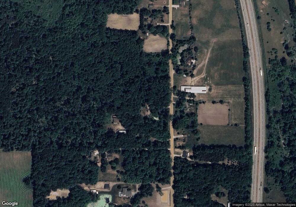
Map
Nearby Homes
- 3897 Division St
- 3770 Division Ave S
- 3685 Calkins Ct
- 3610 Garden St
- 3570 Windsor Woods Dr
- 4240 Butternut Dr
- Vienna Plan at Harvest Meadows
- Charlotte Plan at Harvest Meadows
- Sierra Plan at Harvest Meadows
- Karolynn Plan at Harvest Meadows
- Reno Plan at Harvest Meadows
- Bayberry Plan at Harvest Meadows
- Freedom Plan at Harvest Meadows
- London Plan at Harvest Meadows
- Hampton Plan at Harvest Meadows
- Oxford Plan at Harvest Meadows
- 4243 Butternut Dr
- 4245 Butternut Dr
- 4249 Butternut Dr
- Lot 142 Butternut Dr