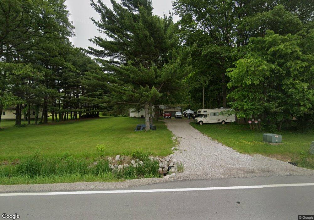
3914 State Route 601 Norwalk, OH 44857
Estimated Value: $186,000 - $224,000
3
Beds
1
Bath
1,120
Sq Ft
$185/Sq Ft
Est. Value
About This Home
This home is located at 3914 State Route 601, Norwalk, OH 44857 and is currently estimated at $207,100, approximately $184 per square foot. 3914 State Route 601 is a home located in Huron County with nearby schools including Western Reserve Elementary School, Western Reserve Middle School, and Western Reserve High School.
Ownership History
Date
Name
Owned For
Owner Type
Purchase Details
Closed on
Sep 29, 2017
Sold by
Michel Roberta A and Michel Ronald J
Bought by
Jones Pamela S and Jones Joe E
Current Estimated Value
Home Financials for this Owner
Home Financials are based on the most recent Mortgage that was taken out on this home.
Original Mortgage
$92,150
Outstanding Balance
$77,115
Interest Rate
3.89%
Mortgage Type
New Conventional
Estimated Equity
$129,985
Purchase Details
Closed on
Jan 9, 2013
Bought by
Roberta A Michel
Purchase Details
Closed on
Jan 8, 2013
Sold by
Jones Glenn
Bought by
Michel Roberta A
Purchase Details
Closed on
Sep 12, 1984
Bought by
Jones Joe E
Create a Home Valuation Report for This Property
The Home Valuation Report is an in-depth analysis detailing your home's value as well as a comparison with similar homes in the area
Home Values in the Area
Average Home Value in this Area
Purchase History
| Date | Buyer | Sale Price | Title Company |
|---|---|---|---|
| Jones Pamela S | $95,000 | Tucker Abstract & Title Co | |
| Roberta A Michel | $57,000 | -- | |
| Michel Roberta A | $57,000 | The Tucker Abstract & Title | |
| Jones Joe E | -- | -- |
Source: Public Records
Mortgage History
| Date | Status | Borrower | Loan Amount |
|---|---|---|---|
| Open | Jones Pamela S | $92,150 |
Source: Public Records
Tax History Compared to Growth
Tax History
| Year | Tax Paid | Tax Assessment Tax Assessment Total Assessment is a certain percentage of the fair market value that is determined by local assessors to be the total taxable value of land and additions on the property. | Land | Improvement |
|---|---|---|---|---|
| 2024 | $1,957 | $55,120 | $15,780 | $39,340 |
| 2023 | $1,957 | $42,850 | $11,730 | $31,120 |
| 2022 | $1,589 | $42,850 | $11,730 | $31,120 |
| 2021 | $1,637 | $42,850 | $11,730 | $31,120 |
| 2020 | $1,539 | $38,470 | $10,520 | $27,950 |
| 2019 | $1,533 | $38,470 | $10,520 | $27,950 |
| 2018 | $1,550 | $38,470 | $10,520 | $27,950 |
| 2017 | $1,302 | $32,790 | $9,650 | $23,140 |
| 2016 | $1,281 | $32,790 | $9,650 | $23,140 |
| 2015 | $1,270 | $32,810 | $9,660 | $23,150 |
| 2014 | $1,282 | $32,130 | $9,660 | $22,470 |
| 2013 | $1,139 | $32,130 | $9,660 | $22,470 |
Source: Public Records
Map
Nearby Homes
- 3713 Medusa Rd
- 27 Whitefield Blvd
- 14 Whitefield Blvd
- 121 Leisure Ln
- 0 Cleveland Rd
- 112 State Route 61 Unit 25
- 34 Old State Rd N
- 17 Sara Dr
- 3257 Hartland Center Rd
- 431 Old State Rd S
- 5054 State Route 601
- 3055 Hartland Center Rd
- 120 Woodlawn Ave
- 173 Saint Marys St
- 203 Spino St
- 10 Parsons St
- 85 Woodlawn Ave
- 4925 Old State Rd N
- 37 S Garden St
- 45 Grove Ave
- 3930 State Route 601
- 3966 State Route 601
- 3945 State Route 601
- 3998 State Route 601
- 3969 Ohio 601
- 3969 State Route 601
- 3983 State Route 601
- 4001 State Route 601
- 4262 State Route 601
- 1392 Us Highway 20 E
- 1390 U S 20
- 1400 Us Highway 20 E
- 1481 Us Highway 20 E
- 1422 Us Highway 20 E
- 1507 Us Highway 20 E
- 1422 U S 20
- 4053 State Route 601
- 4079 State Route 601
- 1474 Us Highway 20 E
- 1506 Us Highway 20 E