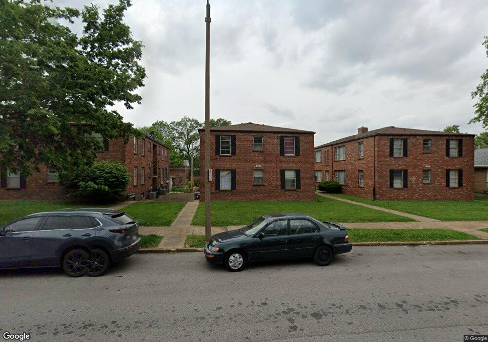
3915 Jamieson Ave Saint Louis, MO 63109
Lindenwood Park NeighborhoodEstimated Value: $422,000 - $550,000
--
Bed
4
Baths
3,844
Sq Ft
$122/Sq Ft
Est. Value
About This Home
This home is located at 3915 Jamieson Ave, Saint Louis, MO 63109 and is currently estimated at $468,333, approximately $121 per square foot. 3915 Jamieson Ave is a home located in St. Louis City with nearby schools including Mason Elementary School, Long International Middle School, and Roosevelt High School.
Ownership History
Date
Name
Owned For
Owner Type
Purchase Details
Closed on
May 28, 2008
Sold by
Georgia Louise Leasure
Bought by
Georgia Louise Leasure and James Peter Georgia Residuary Trust
Current Estimated Value
Purchase Details
Closed on
Jan 30, 2006
Sold by
Georgia James Peter and Georgia Louise Leasure
Bought by
Georgia Louise Leasure and The James Peter Georgia Revocable Trust
Create a Home Valuation Report for This Property
The Home Valuation Report is an in-depth analysis detailing your home's value as well as a comparison with similar homes in the area
Home Values in the Area
Average Home Value in this Area
Purchase History
| Date | Buyer | Sale Price | Title Company |
|---|---|---|---|
| Georgia Louise Leasure | -- | None Available | |
| Georgia Louise Leasure | -- | None Available |
Source: Public Records
Tax History Compared to Growth
Tax History
| Year | Tax Paid | Tax Assessment Tax Assessment Total Assessment is a certain percentage of the fair market value that is determined by local assessors to be the total taxable value of land and additions on the property. | Land | Improvement |
|---|---|---|---|---|
| 2025 | $3,633 | $53,130 | $2,850 | $50,280 |
| 2024 | $3,456 | $43,070 | $2,850 | $40,220 |
| 2023 | $3,456 | $43,070 | $2,850 | $40,220 |
| 2022 | $3,286 | $39,420 | $2,850 | $36,570 |
| 2021 | $3,282 | $39,420 | $2,850 | $36,570 |
| 2020 | $3,035 | $36,710 | $2,850 | $33,860 |
| 2019 | $3,024 | $36,710 | $2,850 | $33,860 |
| 2018 | $2,893 | $34,030 | $2,620 | $31,410 |
| 2017 | $2,844 | $34,030 | $2,620 | $31,410 |
| 2016 | $2,457 | $28,980 | $2,620 | $26,350 |
| 2015 | $2,228 | $28,970 | $2,620 | $26,350 |
| 2014 | $2,231 | $28,970 | $2,620 | $26,350 |
| 2013 | -- | $29,050 | $2,620 | $26,430 |
Source: Public Records
Map
Nearby Homes
- 6973 Winona Ave
- 6968 Winona Ave
- 3815 Mccausland Ave Unit 4
- 6927-6931 Sutherland Ave
- 6935 Lansdowne Ave
- 7047 Tholozan Ave
- 6646 Mardel Ave
- 6634 Lindenwood Place
- 6659 Tholozan Ave
- 6968 Lansdowne Ave
- 6709 Lansdowne Ave
- 7059 Lansdowne Ave
- 7044 Lansdowne Ave
- 7048 Lansdowne Ave
- 7114 Bancroft Ave
- 6621 Tholozan Ave
- 6656 Oleatha Ave
- 7127 Bancroft Ave
- 6631 Pernod Ave
- 7120 Bancroft Ave
- 3919 Jamieson Ave
- 3911 Jamieson Ave
- 3923 Jamieson Ave
- 3923 Jamieson Ave Unit 2W
- 3907 Jamieson Ave
- 3916 Berger Ave
- 3910 Berger Ave
- 3920 Berger Ave
- 3927 Jamieson Ave
- 3927 Jamieson Ave Unit 1W
- 3901 Jamieson Ave
- 3906 Berger Ave
- 3922 Berger Ave
- 3926 Berger Ave
- 3900 Berger Ave
- 3930 Berger Ave
- 3931 Jamieson Ave
- 3902 Berger Ave
- 3916 Jamieson Ave
- 3920 Jamieson Ave