Estimated Value: $312,000 - $373,000
3
Beds
2
Baths
1,873
Sq Ft
$181/Sq Ft
Est. Value
About This Home
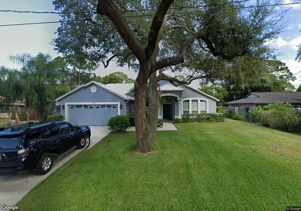
This home is located at 3915 Newport St, Cocoa, FL 32927 and is currently estimated at $338,516, approximately $180 per square foot. 3915 Newport St is a home located in Brevard County with nearby schools including Challenger 7 Elementary School, Space Coast Junior/Senior High School, and East Atlantic Prep of Brevard County.
Ownership History
Date
Name
Owned For
Owner Type
Purchase Details
Closed on
Mar 18, 1997
Sold by
Vasile Anthony S and Vasile Carole J
Bought by
Engh Charles F and Engh Barbara B
Current Estimated Value
Home Financials for this Owner
Home Financials are based on the most recent Mortgage that was taken out on this home.
Original Mortgage
$107,350
Outstanding Balance
$13,029
Interest Rate
7.75%
Estimated Equity
$325,487
Create a Home Valuation Report for This Property
The Home Valuation Report is an in-depth analysis detailing your home's value as well as a comparison with similar homes in the area
Home Values in the Area
Average Home Value in this Area
Purchase History
| Date | Buyer | Sale Price | Title Company |
|---|---|---|---|
| Engh Charles F | $113,000 | -- |
Source: Public Records
Mortgage History
| Date | Status | Borrower | Loan Amount |
|---|---|---|---|
| Open | Engh Charles F | $107,350 |
Source: Public Records
Tax History
| Year | Tax Paid | Tax Assessment Tax Assessment Total Assessment is a certain percentage of the fair market value that is determined by local assessors to be the total taxable value of land and additions on the property. | Land | Improvement |
|---|---|---|---|---|
| 2025 | $1,496 | $114,280 | -- | -- |
| 2024 | $1,453 | $111,060 | -- | -- |
| 2023 | $1,453 | $107,830 | $0 | $0 |
| 2022 | $1,353 | $104,690 | $0 | $0 |
| 2021 | $1,343 | $101,650 | $0 | $0 |
| 2020 | $1,264 | $100,250 | $0 | $0 |
| 2019 | $1,195 | $98,000 | $0 | $0 |
| 2018 | $1,183 | $96,180 | $0 | $0 |
| 2017 | $1,168 | $94,210 | $0 | $0 |
| 2016 | $1,163 | $92,280 | $18,000 | $74,280 |
| 2015 | $1,173 | $91,640 | $15,000 | $76,640 |
| 2014 | $1,171 | $90,920 | $11,000 | $79,920 |
Source: Public Records
Map
Nearby Homes
- 3925 Newport St
- 3965 Oakland St
- 6405 Lookout Dr
- 6455 Orchid Ave
- 3915 Fay Blvd
- 3875 Fay Blvd
- 0 Fay Blvd Unit 1011912
- 4016 Song Dr
- 6560 Miraflores Ave
- 780 Alcazar Ave
- 6275 Marcy St
- 520 Arabella Ln
- 4300 Fay Blvd
- 1131 Covina St
- 961 Kaufman St
- 645 Altura Dr
- 4240 Ponds Dr
- 1164 Aron St
- 1165 Aron St
- 925 MacCo Rd
- 3895 Newport St
- 3935 Newport St
- 3920 Newport St
- 3875 Newport St
- 3910 Newport St
- 3930 Newport St
- 3945 Newport St
- 3900 Newport St
- 3890 Newport St
- 3880 Newport St
- 3955 Newport St
- 3925 Oakland St
- 3945 Oakland St
- 3950 Newport St
- 3915 Oakland St
- 3870 Newport St
- 3905 Oakland St
- 3955 Oakland St
- 3895 Oakland St
- 3885 Oakland St
Your Personal Tour Guide
Ask me questions while you tour the home.