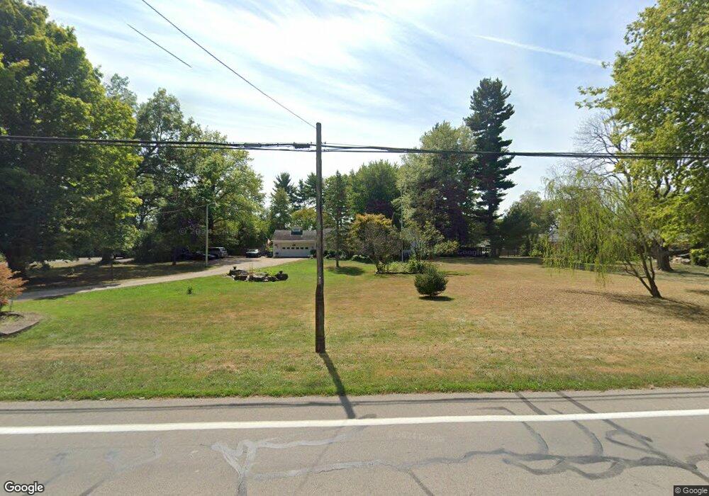
3915 State Route 571 Greenville, OH 45331
Estimated Value: $265,000 - $292,140
3
Beds
2
Baths
2,289
Sq Ft
$121/Sq Ft
Est. Value
About This Home
This home is located at 3915 State Route 571, Greenville, OH 45331 and is currently estimated at $276,035, approximately $120 per square foot. 3915 State Route 571 is a home with nearby schools including Greenville Middle School, Greenville Intermediate School, and Greenville Primary School.
Ownership History
Date
Name
Owned For
Owner Type
Purchase Details
Closed on
Jul 24, 2012
Sold by
Holdeman Diane M and Miller Diane M
Bought by
Holdeman Michael D and Holdeman Diane M
Current Estimated Value
Home Financials for this Owner
Home Financials are based on the most recent Mortgage that was taken out on this home.
Original Mortgage
$124,325
Outstanding Balance
$86,144
Interest Rate
3.75%
Mortgage Type
FHA
Estimated Equity
$189,891
Purchase Details
Closed on
Mar 12, 1991
Bought by
Holdeman Michael D and Holdeman Diane M
Create a Home Valuation Report for This Property
The Home Valuation Report is an in-depth analysis detailing your home's value as well as a comparison with similar homes in the area
Home Values in the Area
Average Home Value in this Area
Purchase History
| Date | Buyer | Sale Price | Title Company |
|---|---|---|---|
| Holdeman Michael D | -- | Attorney | |
| Holdeman Michael D | $61,200 | -- |
Source: Public Records
Mortgage History
| Date | Status | Borrower | Loan Amount |
|---|---|---|---|
| Open | Holdeman Michael D | $124,325 |
Source: Public Records
Tax History Compared to Growth
Tax History
| Year | Tax Paid | Tax Assessment Tax Assessment Total Assessment is a certain percentage of the fair market value that is determined by local assessors to be the total taxable value of land and additions on the property. | Land | Improvement |
|---|---|---|---|---|
| 2024 | $2,510 | $73,330 | $17,600 | $55,730 |
| 2023 | $2,506 | $73,330 | $17,600 | $55,730 |
| 2022 | $2,229 | $58,980 | $14,670 | $44,310 |
| 2021 | $2,238 | $58,980 | $14,670 | $44,310 |
| 2020 | $2,243 | $58,980 | $14,670 | $44,310 |
| 2019 | $2,039 | $53,200 | $14,670 | $38,530 |
| 2018 | $2,050 | $53,200 | $14,670 | $38,530 |
| 2017 | $1,584 | $53,200 | $14,670 | $38,530 |
| 2016 | $1,587 | $40,560 | $11,740 | $28,820 |
| 2015 | $1,587 | $40,560 | $11,740 | $28,820 |
| 2014 | $1,588 | $40,560 | $11,740 | $28,820 |
| 2013 | $1,612 | $40,560 | $11,740 | $28,820 |
Source: Public Records
Map
Nearby Homes
- 101 Westbury Dr
- 220 Westbury Dr
- 105 Ashford Cir
- 221 N Main St
- 699 Bur Oak Dr
- 502 N Broadway St
- 0 Orchard Dr Unit 1041637
- 0 Orchard Dr Unit 944556
- 00 E Us Rt 36
- 112 Parkside Dr
- 760 Birchwood Dr
- 312 Sycamore St
- 209 Chestnut St
- 229 E Main St
- 341 E Main St
- 1215 Parkway Dr
- 319 Locust St
- 208 Olive St
- 630 E Main St
- 3927 State Route 571
- 6697 Daly Rd
- 6691 Daly Rd
- 6687 Daly Rd
- 3904 State Route 571
- 6677 Daly Rd
- 6692 Daly Rd
- 3939 State Route 571
- 3918 State Route 571
- 6665 Daly Rd
- 3926 State Route 571
- 6696 Daly Rd
- 6682 Daly Rd
- 6670 Daly Rd
- 6651 Daly Rd
- 3951 State Route 571
- 3871 Ohio 571
- 3871 State Route 571
- 3892 State Route 571
- 6660 Daly Rd