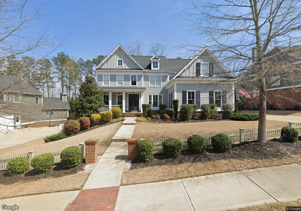
3915 Williams Point Dr Unit 22 Cumming, GA 30028
Estimated Value: $843,531 - $906,000
5
Beds
4
Baths
3,893
Sq Ft
$224/Sq Ft
Est. Value
About This Home
This home is located at 3915 Williams Point Dr Unit 22, Cumming, GA 30028 and is currently estimated at $873,633, approximately $224 per square foot. 3915 Williams Point Dr Unit 22 is a home located in Forsyth County with nearby schools including Poole's Mill Elementary School, Liberty Middle School, and North Forsyth High School.
Ownership History
Date
Name
Owned For
Owner Type
Purchase Details
Closed on
Jun 29, 2017
Sold by
Sr Homes Llc
Bought by
Pepin Bryan M and Pepin Kerry
Current Estimated Value
Home Financials for this Owner
Home Financials are based on the most recent Mortgage that was taken out on this home.
Original Mortgage
$419,900
Outstanding Balance
$349,344
Interest Rate
3.94%
Mortgage Type
New Conventional
Estimated Equity
$524,289
Create a Home Valuation Report for This Property
The Home Valuation Report is an in-depth analysis detailing your home's value as well as a comparison with similar homes in the area
Home Values in the Area
Average Home Value in this Area
Purchase History
| Date | Buyer | Sale Price | Title Company |
|---|---|---|---|
| Pepin Bryan M | $559,900 | -- |
Source: Public Records
Mortgage History
| Date | Status | Borrower | Loan Amount |
|---|---|---|---|
| Open | Pepin Bryan M | $419,900 | |
| Closed | Pepin Bryan M | $83,950 |
Source: Public Records
Tax History Compared to Growth
Tax History
| Year | Tax Paid | Tax Assessment Tax Assessment Total Assessment is a certain percentage of the fair market value that is determined by local assessors to be the total taxable value of land and additions on the property. | Land | Improvement |
|---|---|---|---|---|
| 2025 | $7,441 | $362,248 | $54,000 | $308,248 |
| 2024 | $7,441 | $349,180 | $50,000 | $299,180 |
| 2023 | $6,683 | $324,308 | $40,000 | $284,308 |
| 2022 | $6,621 | $215,832 | $36,000 | $179,832 |
| 2021 | $5,813 | $215,832 | $36,000 | $179,832 |
| 2020 | $5,595 | $205,892 | $28,000 | $177,892 |
| 2019 | $5,638 | $207,132 | $22,000 | $185,132 |
| 2018 | $5,655 | $207,652 | $22,000 | $185,652 |
| 2017 | $3,498 | $126,024 | $22,000 | $104,024 |
| 2016 | $611 | $22,000 | $22,000 | $0 |
| 2015 | $500 | $18,000 | $18,000 | $0 |
| 2014 | $477 | $18,000 | $0 | $0 |
Source: Public Records
Map
Nearby Homes
- 3435 Summerdale Walk
- 3675 Summerpoint Crossing
- 3705 Williams Point Dr
- 3375 Hillshire Dr
- 3355 Hillshire Dr
- 3390 Hillshire Dr
- Harvard II Plan at Hillshire
- Hampton Plan at Hillshire
- Wesley Plan at Hillshire
- Longwood Plan at Hillshire
- Vanderbilt Plan at Hillshire
- 3335 Hillshire Dr
- 3330 Hillshire Dr
- 3315 Hillshire Dr
- 3350 Hillshire Dr
- 3310 Hillshire Dr
- 3945 Silverthorn Trace
- 3975 Silverthorn Trace
- 3875 Deer Run Dr
- 3915 Williams Point Dr
- 3895 Williams Point Dr Unit 23
- 3895 Williams Point Dr
- 4005 Williams Point Dr Unit 21
- 4005 Williams Point Dr
- 4005 Williams Point Dr
- 0 Pinebrook Cir Unit 8358368
- 0 Pinebrook Cir
- 3210 Summerpoint Crossing
- 3210 Summerpoint Crossing Unit 16
- 4015 Williams Point Dr
- 4015 Williams Point Dr Unit 20
- 4010 Pinebrook Cir Unit 56
- 4010 Pinebrook Cir
- 3190 Summerpoint Crossing
- 3885 Williams Point Dr Unit 24
- 3885 Williams Point Dr
- 3220 Summerpoint Crossing
- 3770 Williams Point Dr
- 4040 Williams Point Dr Unit 48