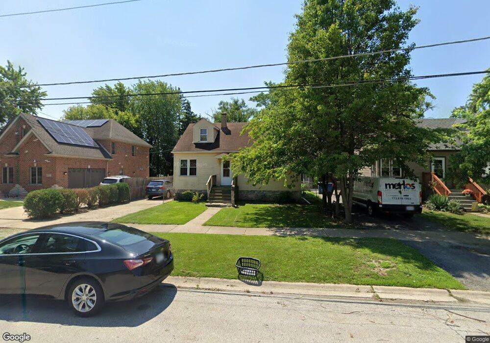
3917 149th St Midlothian, IL 60445
Estimated Value: $223,000 - $240,000
4
Beds
1
Bath
1,200
Sq Ft
$195/Sq Ft
Est. Value
About This Home
This home is located at 3917 149th St, Midlothian, IL 60445 and is currently estimated at $233,748, approximately $194 per square foot. 3917 149th St is a home located in Cook County with nearby schools including Central Park Elementary School, Bremen High School, and St. Christopher School.
Ownership History
Date
Name
Owned For
Owner Type
Purchase Details
Closed on
Sep 11, 2013
Sold by
Lunsford
Bought by
Zarhall James
Current Estimated Value
Purchase Details
Closed on
Nov 15, 2006
Sold by
Matthews Susanne and Dreger Fred H
Bought by
Lunsford Edward Dale and Kofink Jessica L
Home Financials for this Owner
Home Financials are based on the most recent Mortgage that was taken out on this home.
Original Mortgage
$154,450
Interest Rate
6.4%
Mortgage Type
Unknown
Create a Home Valuation Report for This Property
The Home Valuation Report is an in-depth analysis detailing your home's value as well as a comparison with similar homes in the area
Home Values in the Area
Average Home Value in this Area
Purchase History
| Date | Buyer | Sale Price | Title Company |
|---|---|---|---|
| Zarhall James | $30,500 | None Available | |
| Lunsford Edward Dale | $154,450 | Ticor Title |
Source: Public Records
Mortgage History
| Date | Status | Borrower | Loan Amount |
|---|---|---|---|
| Previous Owner | Lunsford Edward Dale | $154,450 |
Source: Public Records
Tax History Compared to Growth
Tax History
| Year | Tax Paid | Tax Assessment Tax Assessment Total Assessment is a certain percentage of the fair market value that is determined by local assessors to be the total taxable value of land and additions on the property. | Land | Improvement |
|---|---|---|---|---|
| 2024 | $4,800 | $16,001 | $2,363 | $13,638 |
| 2023 | $3,824 | $16,001 | $2,363 | $13,638 |
| 2022 | $3,824 | $11,561 | $2,025 | $9,536 |
| 2021 | $3,717 | $11,560 | $2,025 | $9,535 |
| 2020 | $3,638 | $11,560 | $2,025 | $9,535 |
| 2019 | $3,634 | $11,797 | $1,856 | $9,941 |
| 2018 | $3,574 | $11,797 | $1,856 | $9,941 |
| 2017 | $3,470 | $11,797 | $1,856 | $9,941 |
| 2016 | $3,156 | $9,853 | $1,687 | $8,166 |
| 2015 | $3,033 | $9,853 | $1,687 | $8,166 |
| 2014 | $2,965 | $9,853 | $1,687 | $8,166 |
| 2013 | $3,694 | $12,728 | $1,687 | $11,041 |
Source: Public Records
Map
Nearby Homes
- 14944 Springfield Ave
- 3846 149th St
- 14914 Avers Ave
- 14970 Pulaski Rd Unit 5
- 14903 Terrace Ln
- 14949 Avers Ave
- 15035 Harding Ave
- 14837 Karlov Ave
- 15031 Hamlin Ave
- 15115 Springfield Ave
- 4031 147th St
- 14839 Lawndale Ave
- 14613 Keystone Ave
- 14618 Keystone Ave
- 3618 148th St
- 3624 151st St
- 14539 Crawford Ave
- 3631 147th St
- 3625 147th St
- 14501 Keystone Ave Unit 8
- 3939 149th St
- 3915 149th St
- 3943 149th St
- 14922 Springfield Ave
- 14904 Springfield Ave
- 14902 Springfield Ave
- 3947 149th St
- 14930 Springfield Ave
- 3932 149th St
- 14911 Pulaski Rd
- 14938 Springfield Ave
- 14929 Pulaski Rd
- 14909 Springfield Ave
- 14901 Springfield Ave
- 14913 Springfield Ave
- 14917 Springfield Ave
- 14921 Springfield Ave
- 14948 Springfield Ave
- 14927 Springfield Ave
- 14937 Springfield Ave