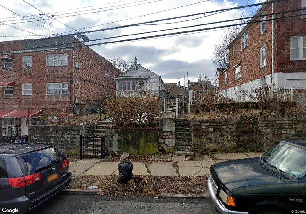
3917 Duryea Ave Bronx, NY 10466
Edenwald NeighborhoodEstimated Value: $551,000 - $707,000
Studio
--
Bath
1,440
Sq Ft
$415/Sq Ft
Est. Value
About This Home
This home is located at 3917 Duryea Ave, Bronx, NY 10466 and is currently estimated at $597,279, approximately $414 per square foot. 3917 Duryea Ave is a home located in Bronx County with nearby schools including P.S. 68 - Bronx, Baychester Middle School, and One World Middle School At Edenwald.
Ownership History
Date
Name
Owned For
Owner Type
Purchase Details
Closed on
Sep 28, 1998
Sold by
Lefkowitz Family Corp
Bought by
Maxwell Gloria J
Current Estimated Value
Home Financials for this Owner
Home Financials are based on the most recent Mortgage that was taken out on this home.
Original Mortgage
$8,125
Interest Rate
6.7%
Mortgage Type
Seller Take Back
Create a Home Valuation Report for This Property
The Home Valuation Report is an in-depth analysis detailing your home's value as well as a comparison with similar homes in the area
Home Values in the Area
Average Home Value in this Area
Purchase History
| Date | Buyer | Sale Price | Title Company |
|---|---|---|---|
| Maxwell Gloria J | $90,000 | First American Title Ins Co |
Source: Public Records
Mortgage History
| Date | Status | Borrower | Loan Amount |
|---|---|---|---|
| Previous Owner | Maxwell Gloria J | $8,125 | |
| Closed | Maxwell Gloria J | $30,000 |
Source: Public Records
Tax History
| Year | Tax Paid | Tax Assessment Tax Assessment Total Assessment is a certain percentage of the fair market value that is determined by local assessors to be the total taxable value of land and additions on the property. | Land | Improvement |
|---|---|---|---|---|
| 2025 | $5,615 | $29,462 | $7,366 | $22,096 |
| 2024 | $5,615 | $27,955 | $8,098 | $19,857 |
| 2023 | $5,297 | $26,375 | $6,573 | $19,802 |
| 2022 | $4,703 | $38,040 | $9,420 | $28,620 |
| 2021 | $5,167 | $32,760 | $9,420 | $23,340 |
| 2020 | $5,197 | $31,020 | $9,420 | $21,600 |
| 2019 | $4,873 | $27,720 | $9,420 | $18,300 |
| 2018 | $4,480 | $21,979 | $8,692 | $13,287 |
| 2017 | $4,227 | $20,736 | $8,590 | $12,146 |
| 2016 | $4,090 | $20,460 | $9,420 | $11,040 |
| 2015 | $2,359 | $20,578 | $9,891 | $10,687 |
| 2014 | $2,359 | $19,414 | $9,331 | $10,083 |
Source: Public Records
Map
Nearby Homes
- 3924 Duryea Ave
- 3919 Pratt Ave
- 1461 E 233rd St
- 3963 Duryea Ave
- 3964 Duryea Ave
- 3968 Duryea Ave
- 2181 Strang Ave
- 2110 Light St
- 4040 Pratt Ave
- 3946 Secor Ave
- 4048 Harper Ave
- 3919 Murdock Ave
- 3720 Dyre Ave
- 3735 Rombouts Ave
- 29 Bell Ave
- 4016 Wilder Ave
- 75 W Kingsbridge Rd
- 3940 de Reimer Ave
- 4073 Monticello Ave
- 4058 Murdock Ave
- 3911 Duryea Ave
- 3909 Duryea Ave
- 3921 Duryea Ave
- 3907 Duryea Ave
- 3927 Duryea Ave
- 3905 Duryea Ave
- 3916 Amundson Ave
- 3910 Amundson Ave
- 3903 Duryea Ave
- 3918 Amundson Ave
- 3931 Duryea Ave
- 1431 E 233rd St
- 3920 Amundson Ave
- 3901 Duryea Ave
- 3922 Amundson Ave
- 3933 Duryea Ave
- 3905-3906 Pratt Ave
- 3905 Pratt Ave Unit 3906
- 3908 Duryea Ave
- 1429 E 233rd St
Your Personal Tour Guide
Ask me questions while you tour the home.