Estimated Value: $323,000 - $468,000
3
Beds
2
Baths
3,000
Sq Ft
$129/Sq Ft
Est. Value
About This Home
This home is located at 3917 W 4600 Rd S Unit 4, Delta, UT 84624 and is currently estimated at $387,071, approximately $129 per square foot. 3917 W 4600 Rd S Unit 4 is a home located in Millard County.
Ownership History
Date
Name
Owned For
Owner Type
Purchase Details
Closed on
Aug 24, 2023
Sold by
Dutson Gary D
Bought by
Anderson John L
Current Estimated Value
Purchase Details
Closed on
Feb 29, 2016
Sold by
Dutson Gary D
Bought by
Dutson Gary D
Home Financials for this Owner
Home Financials are based on the most recent Mortgage that was taken out on this home.
Original Mortgage
$160,000
Interest Rate
3.81%
Mortgage Type
New Conventional
Purchase Details
Closed on
Jul 11, 2008
Sold by
Jensen Joan N
Bought by
Dutson Gary D
Home Financials for this Owner
Home Financials are based on the most recent Mortgage that was taken out on this home.
Original Mortgage
$152,700
Interest Rate
6.49%
Create a Home Valuation Report for This Property
The Home Valuation Report is an in-depth analysis detailing your home's value as well as a comparison with similar homes in the area
Home Values in the Area
Average Home Value in this Area
Purchase History
| Date | Buyer | Sale Price | Title Company |
|---|---|---|---|
| Anderson John L | -- | Access Title | |
| Dutson Gary D | -- | First American Title | |
| Dutson Gary D | -- | -- |
Source: Public Records
Mortgage History
| Date | Status | Borrower | Loan Amount |
|---|---|---|---|
| Previous Owner | Dutson Gary D | $160,000 | |
| Previous Owner | Dutson Gary D | $152,700 |
Source: Public Records
Tax History Compared to Growth
Tax History
| Year | Tax Paid | Tax Assessment Tax Assessment Total Assessment is a certain percentage of the fair market value that is determined by local assessors to be the total taxable value of land and additions on the property. | Land | Improvement |
|---|---|---|---|---|
| 2025 | $2,251 | $277,537 | $19,250 | $258,287 |
| 2024 | $2,251 | $202,299 | $15,125 | $187,174 |
| 2023 | $2,773 | $202,299 | $15,125 | $187,174 |
| 2022 | $1,440 | $126,976 | $13,750 | $113,226 |
| 2021 | $1,092 | $92,678 | $12,100 | $80,578 |
| 2020 | $1,051 | $90,247 | $12,100 | $78,147 |
| 2019 | $981 | $85,037 | $12,100 | $72,937 |
| 2018 | $883 | $78,664 | $12,100 | $66,564 |
| 2017 | $847 | $72,195 | $8,800 | $63,395 |
| 2016 | $810 | $72,195 | $8,800 | $63,395 |
| 2015 | $810 | $72,195 | $8,800 | $63,395 |
| 2014 | -- | $72,195 | $8,800 | $63,395 |
| 2013 | -- | $60,974 | $8,800 | $52,174 |
Source: Public Records
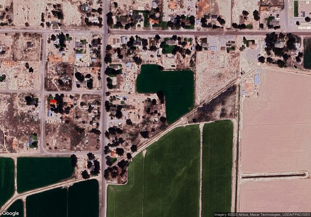
Map
Nearby Homes
- 3885 W 4500 S
- 3770 S 4000 Rd W
- 6500 S 3000 West Rd
- 3480 S 4000 W
- 470 S 2750 W Unit 6
- 460 S 2750 W Unit 7
- 490 S 2750 W Unit 5
- 465 S 2750 W Unit 4
- 6177 S 3000 Rd W
- 0 Tbd 3000 Rd S Unit LotWP001
- 8000 S Highway 257
- 6500 W 2000 S
- 17000 W 2500 Rd S
- 16700 W 2500 South Rd
- 16800 W 2500 South Rd
- 289 W Center St S
- 168 N 100 Rd W
- 1040 W Center St
- 0 Tbd 6500 Rd S Unit LotWP001 21115450
- 700 Acres