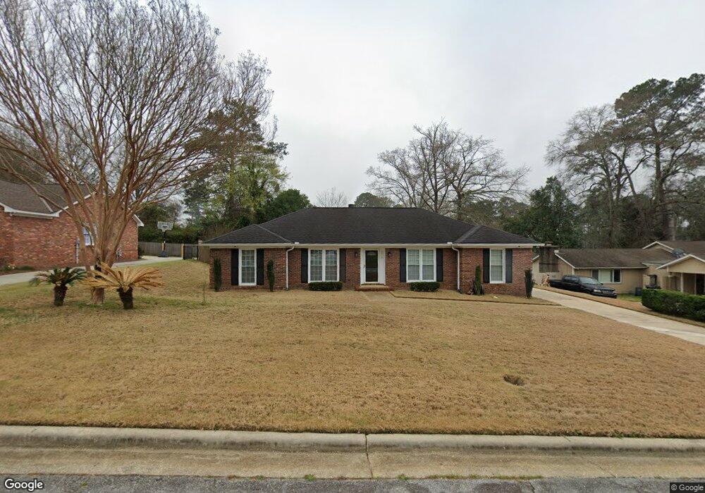
3918 Ashmore Dr Columbus, GA 31909
North Columbus NeighborhoodEstimated Value: $205,872 - $273,000
4
Beds
3
Baths
1,630
Sq Ft
$148/Sq Ft
Est. Value
About This Home
This home is located at 3918 Ashmore Dr, Columbus, GA 31909 and is currently estimated at $240,468, approximately $147 per square foot. 3918 Ashmore Dr is a home located in Muscogee County with nearby schools including Blanchard Elementary School, Veterans Memorial Middle School, and Hardaway High School.
Ownership History
Date
Name
Owned For
Owner Type
Purchase Details
Closed on
May 26, 2007
Sold by
King Frances M
Bought by
King Rubin L
Current Estimated Value
Home Financials for this Owner
Home Financials are based on the most recent Mortgage that was taken out on this home.
Original Mortgage
$131,201
Interest Rate
6.16%
Mortgage Type
VA
Create a Home Valuation Report for This Property
The Home Valuation Report is an in-depth analysis detailing your home's value as well as a comparison with similar homes in the area
Home Values in the Area
Average Home Value in this Area
Purchase History
| Date | Buyer | Sale Price | Title Company |
|---|---|---|---|
| King Rubin L | -- | None Available |
Source: Public Records
Mortgage History
| Date | Status | Borrower | Loan Amount |
|---|---|---|---|
| Previous Owner | King Rubin L | $131,201 |
Source: Public Records
Tax History
| Year | Tax Paid | Tax Assessment Tax Assessment Total Assessment is a certain percentage of the fair market value that is determined by local assessors to be the total taxable value of land and additions on the property. | Land | Improvement |
|---|---|---|---|---|
| 2025 | -- | $69,080 | $10,540 | $58,540 |
| 2024 | $1,069 | $69,080 | $10,540 | $58,540 |
| 2023 | $381 | $69,080 | $10,540 | $58,540 |
| 2022 | $1,114 | $57,576 | $10,540 | $47,036 |
| 2021 | $1,108 | $53,860 | $10,540 | $43,320 |
| 2020 | $1,108 | $53,860 | $10,540 | $43,320 |
| 2019 | $1,113 | $53,860 | $10,540 | $43,320 |
| 2018 | $1,113 | $53,860 | $10,540 | $43,320 |
| 2017 | $1,119 | $53,860 | $10,540 | $43,320 |
| 2016 | $1,124 | $58,357 | $5,220 | $53,137 |
| 2015 | $1,127 | $58,357 | $5,220 | $53,137 |
| 2014 | $1,130 | $58,357 | $5,220 | $53,137 |
| 2013 | -- | $58,357 | $5,220 | $53,137 |
Source: Public Records
Map
Nearby Homes
- 6104 Windsor Dr
- 2 Biltmore Ct
- 5820 Windsor Dr
- 5829 Moon Rd
- 4001 Twilight Dr
- 6002 Canterbury Dr
- 4174 Will Rhoades Dr
- 4202 Cheshire Bridge Rd
- 6143 Brooklet Dr
- 3710 Winkfield Place
- 6411 Michael Ave
- 3411 Tewson Dr
- 6221 Charing Dr
- 3670 Weems Rd
- 3646 Weems Rd
- 4320 Canady St
- 3342 Windermere St
- 4437 Ansley Ave
- 6158 Arrington Dr
- 5224 Miller Rd
- 3926 Ashmore Dr
- 3912 Ashmore Dr
- 5962 Saint Leonards Dr
- 5956 Saint Leonards Dr
- 3932 Ashmore Dr
- 3921 Ashmore Dr
- 3945 Ashmore Dr
- 3906 Ashmore Dr
- 5974 Saint Leonards Dr
- 5950 Saint Leonards Dr
- 3913 Ashmore Dr
- 3951 Ashmore Dr
- 3936 Ashmore Dr
- 3900 Ashmore Dr
- 3942 Ashmore Dr
- 3909 Ashmore Dr
- 5946 Saint Leonards Dr
- 5959 Saint Leonards Dr
- 5978 Saint Leonards Dr
- 3902 Eve Ct
Your Personal Tour Guide
Ask me questions while you tour the home.