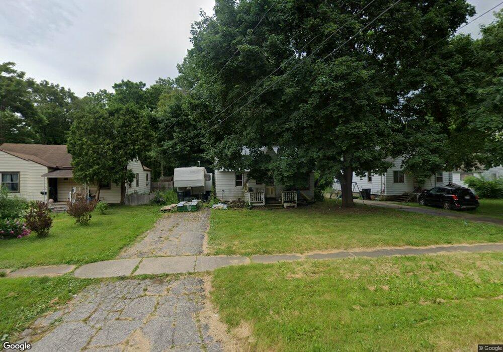
3918 Branch Rd Flint, MI 48506
Potter Longway NeighborhoodEstimated Value: $42,000 - $58,603
2
Beds
1
Bath
784
Sq Ft
$63/Sq Ft
Est. Value
About This Home
This home is located at 3918 Branch Rd, Flint, MI 48506 and is currently estimated at $49,401, approximately $63 per square foot. 3918 Branch Rd is a home located in Genesee County with nearby schools including Potter School, Richfield Public School Academy, and Richfield Early Learning Center.
Ownership History
Date
Name
Owned For
Owner Type
Purchase Details
Closed on
May 21, 2025
Sold by
Nowyorkas Misty D and Sharpe Misty Dawn
Bought by
Nowyorkas Chad Lee
Current Estimated Value
Purchase Details
Closed on
Dec 28, 2012
Sold by
Genesee County Land Bank Authority
Bought by
Nowyorkas Misty
Purchase Details
Closed on
Dec 20, 2012
Sold by
Cherry Deborah L and Genesee County Treasurer
Bought by
Genesee County Land Bank
Create a Home Valuation Report for This Property
The Home Valuation Report is an in-depth analysis detailing your home's value as well as a comparison with similar homes in the area
Home Values in the Area
Average Home Value in this Area
Purchase History
| Date | Buyer | Sale Price | Title Company |
|---|---|---|---|
| Nowyorkas Chad Lee | -- | None Listed On Document | |
| Nowyorkas Misty | $800 | None Available | |
| Genesee County Land Bank | -- | None Available |
Source: Public Records
Tax History Compared to Growth
Tax History
| Year | Tax Paid | Tax Assessment Tax Assessment Total Assessment is a certain percentage of the fair market value that is determined by local assessors to be the total taxable value of land and additions on the property. | Land | Improvement |
|---|---|---|---|---|
| 2025 | $663 | $15,100 | $0 | $0 |
| 2024 | $612 | $13,300 | $0 | $0 |
| 2023 | $607 | $12,400 | $0 | $0 |
| 2022 | $0 | $9,600 | $0 | $0 |
| 2021 | $624 | $9,200 | $0 | $0 |
| 2020 | $574 | $9,000 | $0 | $0 |
| 2019 | $1,296 | $8,000 | $0 | $0 |
| 2018 | $541 | $6,200 | $0 | $0 |
| 2017 | $643 | $0 | $0 | $0 |
| 2016 | $640 | $0 | $0 | $0 |
| 2015 | -- | $0 | $0 | $0 |
| 2014 | -- | $0 | $0 | $0 |
| 2012 | -- | $10,900 | $0 | $0 |
Source: Public Records
Map
Nearby Homes
- 3710 Branch Rd
- 3702 Branch Rd
- 4127 Coggins Ave
- 2935 Richfield Rd
- 00 Richfield Rd
- 3226 Mcclure Ave
- 3200 N Averill Ave
- 3010 Wyoming Ave
- 3250 Carr St
- 3009 Plainfield Ave
- 4907 Delta Dr
- 2719 Branch Rd
- 3729 Craig Dr
- 3214 Maryland Ave
- 2801 Epsilon Trail
- 3602 Dakota Ave
- 3116 Beechwood Ave
- 3301 N Center Rd
- 3364 E Pierson Rd
- 2713 Alpha Way
- 3914 Branch Rd
- 4002 Branch Rd
- 3910 Branch Rd
- 3902 Branch Rd
- 3921 Branch Rd
- 3913 Branch Rd
- 4005 Branch Rd
- 3829 Sunridge Dr
- 3821 Sunridge Dr
- 3015 Meisner Ave
- 3818 Branch Rd
- 3922 Coggins Ave
- 3833 Sunridge Dr
- 4006 Coggins Ave
- 3910 Coggins Ave
- 3817 Sunridge Dr
- 3814 Branch Rd
- 3906 Coggins Ave
- 3837 Sunridge Dr