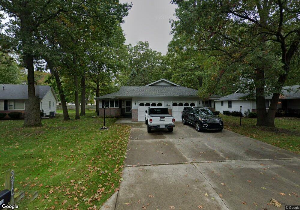
3918 Butternut Ct Unit 1 Port Huron, MI 48060
Estimated Value: $196,000 - $228,000
2
Beds
2
Baths
1,080
Sq Ft
$194/Sq Ft
Est. Value
About This Home
This home is located at 3918 Butternut Ct Unit 1, Port Huron, MI 48060 and is currently estimated at $209,248, approximately $193 per square foot. 3918 Butternut Ct Unit 1 is a home located in St. Clair County with nearby schools including Garfield Elementary School, Fort Gratiot Middle School, and Port Huron Northern High School.
Ownership History
Date
Name
Owned For
Owner Type
Purchase Details
Closed on
Jun 16, 2010
Sold by
Wit Ludwik
Bought by
Tarzwell Romaine L
Current Estimated Value
Home Financials for this Owner
Home Financials are based on the most recent Mortgage that was taken out on this home.
Original Mortgage
$80,000
Outstanding Balance
$53,616
Interest Rate
4.97%
Mortgage Type
New Conventional
Estimated Equity
$155,632
Create a Home Valuation Report for This Property
The Home Valuation Report is an in-depth analysis detailing your home's value as well as a comparison with similar homes in the area
Home Values in the Area
Average Home Value in this Area
Purchase History
| Date | Buyer | Sale Price | Title Company |
|---|---|---|---|
| Tarzwell Romaine L | $100,000 | None Available |
Source: Public Records
Mortgage History
| Date | Status | Borrower | Loan Amount |
|---|---|---|---|
| Open | Tarzwell Romaine L | $80,000 |
Source: Public Records
Tax History Compared to Growth
Tax History
| Year | Tax Paid | Tax Assessment Tax Assessment Total Assessment is a certain percentage of the fair market value that is determined by local assessors to be the total taxable value of land and additions on the property. | Land | Improvement |
|---|---|---|---|---|
| 2025 | $2,578 | $100,700 | $0 | $0 |
| 2024 | $2,096 | $94,100 | $0 | $0 |
| 2023 | $1,980 | $84,900 | $0 | $0 |
| 2022 | $2,094 | $74,900 | $0 | $0 |
| 2021 | $1,987 | $66,200 | $0 | $0 |
| 2020 | $2,010 | $59,300 | $59,300 | $0 |
| 2019 | $1,974 | $54,400 | $0 | $0 |
| 2018 | $1,930 | $54,400 | $0 | $0 |
| 2017 | $1,723 | $51,700 | $0 | $0 |
| 2016 | $1,476 | $51,700 | $0 | $0 |
| 2015 | $1,448 | $43,500 | $43,500 | $0 |
| 2014 | $1,448 | $40,400 | $40,400 | $0 |
| 2013 | -- | $42,000 | $0 | $0 |
Source: Public Records
Map
Nearby Homes
- 3850 Butternut Ct
- 3444 Riverside Dr
- 3419 Riverside Dr
- 0000 Willow Ln
- 3515 Strawberry Ln
- 3505 Shenandoah Ave
- 1424 Hazelwood Ln
- 3208 Mount Vernon Rd
- 3365 Sapphire Ln
- 1828 Kennelworth Dr
- 3321 Stone St
- 3214 Poplar St
- 2925 Linda Ct
- 3196 Oakwood Dr
- 1020 Sanborn St
- 2857 Riverside Dr
- 3431 Krafft Rd
- 3178 Oakwood Dr
- 3455 Gratiot Ave
- 4188 Pine Grove Ave
- 3910 Butternut Ct
- 3920 Butternut Ct
- 3928 Butternut Ct
- 3908 Butternut Ct
- 3900 Butternut Ct
- 3930 Butternut Ct
- 3938 Butternut Ct
- 3898 Butternut Ct
- 3933 Butternut Ct
- 3935 Butternut Ct
- 3895 Butternut Ct Unit 1
- 3940 Butternut Ct
- 3940 Butternut Ct Unit 2
- 3890 Butternut Ct
- 3889 Butternut Ct
- 3948 Butternut Ct
- 3937 Butternut Ct Unit 1
- 3937 Butternut Ct Unit 1
- 3937 Butternut Ct
- 3941 Butternut Ct