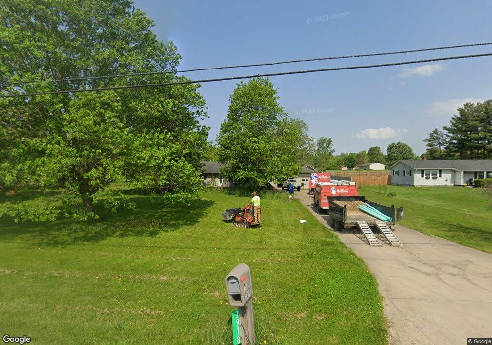
3918 State Route 42 S Mansfield, OH 44904
Estimated Value: $210,000 - $292,000
3
Beds
2
Baths
1,488
Sq Ft
$175/Sq Ft
Est. Value
About This Home
This home is located at 3918 State Route 42 S, Mansfield, OH 44904 and is currently estimated at $260,074, approximately $174 per square foot. 3918 State Route 42 S is a home located in Richland County with nearby schools including Lexington High School and Grace Christian School.
Ownership History
Date
Name
Owned For
Owner Type
Purchase Details
Closed on
Sep 15, 2020
Sold by
Hassinger Harold P and Hassinger Darlene F
Bought by
Bashaw Tyler W and Reid Alexandra C
Current Estimated Value
Home Financials for this Owner
Home Financials are based on the most recent Mortgage that was taken out on this home.
Original Mortgage
$240,000
Outstanding Balance
$212,984
Interest Rate
2.9%
Mortgage Type
VA
Estimated Equity
$47,090
Purchase Details
Closed on
Jul 24, 1996
Sold by
Graham Kenneth D
Bought by
Haasinger Harold P and Haasinger Darlene F
Home Financials for this Owner
Home Financials are based on the most recent Mortgage that was taken out on this home.
Original Mortgage
$92,600
Interest Rate
7.63%
Mortgage Type
New Conventional
Purchase Details
Closed on
Jun 28, 1993
Sold by
Pifher John F
Bought by
Graham Kenneth D
Create a Home Valuation Report for This Property
The Home Valuation Report is an in-depth analysis detailing your home's value as well as a comparison with similar homes in the area
Home Values in the Area
Average Home Value in this Area
Purchase History
| Date | Buyer | Sale Price | Title Company |
|---|---|---|---|
| Bashaw Tyler W | $240,000 | Southern Title | |
| Haasinger Harold P | $104,000 | -- | |
| Graham Kenneth D | $73,000 | -- |
Source: Public Records
Mortgage History
| Date | Status | Borrower | Loan Amount |
|---|---|---|---|
| Open | Bashaw Tyler W | $240,000 | |
| Previous Owner | Haasinger Harold P | $92,600 |
Source: Public Records
Tax History Compared to Growth
Tax History
| Year | Tax Paid | Tax Assessment Tax Assessment Total Assessment is a certain percentage of the fair market value that is determined by local assessors to be the total taxable value of land and additions on the property. | Land | Improvement |
|---|---|---|---|---|
| 2024 | $3,111 | $61,010 | $14,410 | $46,600 |
| 2023 | $3,111 | $61,010 | $14,410 | $46,600 |
| 2022 | $2,937 | $49,560 | $13,100 | $36,460 |
| 2021 | $2,947 | $49,560 | $13,100 | $36,460 |
| 2020 | $2,429 | $49,560 | $13,100 | $36,460 |
| 2019 | $2,158 | $42,030 | $11,100 | $30,930 |
| 2018 | $1,851 | $42,030 | $11,100 | $30,930 |
| 2017 | $1,930 | $42,030 | $11,100 | $30,930 |
| 2016 | $2,029 | $43,980 | $11,100 | $32,880 |
| 2015 | $2,020 | $43,980 | $11,100 | $32,880 |
| 2014 | $1,956 | $43,980 | $11,100 | $32,880 |
| 2012 | $924 | $43,980 | $11,100 | $32,880 |
Source: Public Records
Map
Nearby Homes
- 3912 State Route 42 S
- 3906 State Route 42 S
- 3920 State Route 42 S
- 3920 State Route 42 S
- 3920 U S 42
- 3061 Barr Rd
- 3081 Barr Rd
- 3042 Barr Rd
- 3093 Barr Rd
- 3922 State Route 42 S
- 3886 State Route 42 S Unit US
- 3072 Barr Rd
- 3859 Needham Rd
- 3845 Needham Rd
- 3849 Needham Rd
- 3841 Needham Rd
- 3096 Kings Corners Rd W
- 3074 Barr Rd
- 3801 Needham Rd
- 3878 State Route 42 S