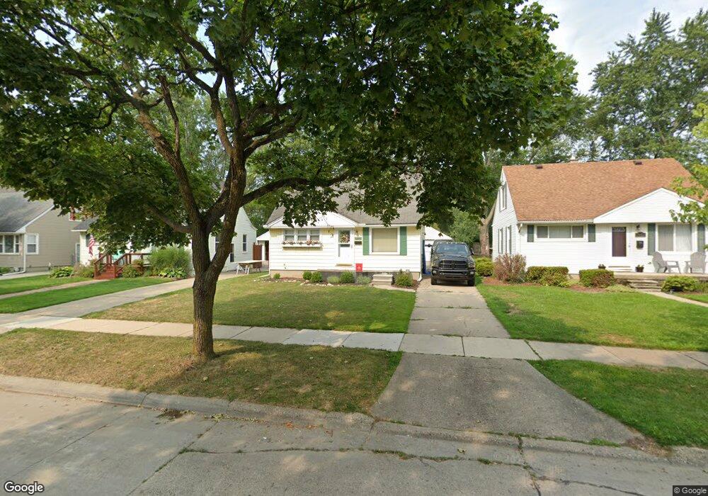
3919 Durham Rd Unit Bldg-Unit Royal Oak, MI 48073
Estimated Value: $309,000 - $338,000
3
Beds
1
Bath
876
Sq Ft
$370/Sq Ft
Est. Value
About This Home
This home is located at 3919 Durham Rd Unit Bldg-Unit, Royal Oak, MI 48073 and is currently estimated at $323,960, approximately $369 per square foot. 3919 Durham Rd Unit Bldg-Unit is a home located in Oakland County with nearby schools including Alfred E. Upton Elementary School, Royal Oak Middle School, and Royal Oak High School.
Ownership History
Date
Name
Owned For
Owner Type
Purchase Details
Closed on
Mar 25, 2020
Sold by
Weichel Carolyn and Bartolovich Carolyn
Bought by
Swantek Micahel
Current Estimated Value
Purchase Details
Closed on
Mar 14, 2018
Sold by
Bulson Sara M and Bulson Andrew D
Bought by
Weichel Carolyn
Home Financials for this Owner
Home Financials are based on the most recent Mortgage that was taken out on this home.
Original Mortgage
$158,400
Interest Rate
4.22%
Mortgage Type
New Conventional
Purchase Details
Closed on
Sep 6, 2013
Sold by
Farac Dennis A and Farac Ronald S
Bought by
Bulson Sara M and Bulson Andrew D
Create a Home Valuation Report for This Property
The Home Valuation Report is an in-depth analysis detailing your home's value as well as a comparison with similar homes in the area
Home Values in the Area
Average Home Value in this Area
Purchase History
| Date | Buyer | Sale Price | Title Company |
|---|---|---|---|
| Swantek Micahel | $219,500 | First American Title | |
| Weichel Carolyn | $176,000 | None Available | |
| Bulson Sara M | $123,000 | None Available |
Source: Public Records
Mortgage History
| Date | Status | Borrower | Loan Amount |
|---|---|---|---|
| Previous Owner | Weichel Carolyn | $158,400 |
Source: Public Records
Tax History Compared to Growth
Tax History
| Year | Tax Paid | Tax Assessment Tax Assessment Total Assessment is a certain percentage of the fair market value that is determined by local assessors to be the total taxable value of land and additions on the property. | Land | Improvement |
|---|---|---|---|---|
| 2024 | $3,726 | $120,940 | $0 | $0 |
| 2022 | $4,640 | $111,190 | $0 | $0 |
| 2020 | $3,689 | $82,590 | $0 | $0 |
| 2018 | $4,640 | $74,790 | $0 | $0 |
| 2017 | $2,735 | $74,790 | $0 | $0 |
| 2015 | -- | $66,430 | $0 | $0 |
| 2014 | -- | $64,820 | $0 | $0 |
| 2011 | -- | $52,820 | $0 | $0 |
Source: Public Records
Map
Nearby Homes
- 4102 Woodland Ave
- 4019 Devon Rd
- 4101 Devon Rd
- 4112 Elmhurst Ave
- 4115 Elmhurst Ave
- 3601 Durham Rd
- 3532 Woodland Ave
- 3526 Durham Rd
- 4227 Crooks Rd
- 4109 Benjamin Ave Unit 2
- 3402 Woodland Ave
- 2500 Normandy Rd Unit 46
- 2500 Normandy Rd Unit 29
- 2500 Normandy Rd Unit 41
- 2511 Massoit Rd
- 4345 Crooks Rd Unit 36
- 4345 Crooks Rd Unit 24
- 1502 Normandy Rd Unit 113
- 3439 Benjamin Ave Unit 121
- 3415 Benjamin Ave Unit 505
- 3919 Durham Rd
- 3923 Durham Rd
- 3915 Durham Rd
- 4003 Durham Rd
- 3911 Durham Rd
- 3907 Durham Rd
- 3922 Woodland Ave
- 3926 Woodland Ave
- 3918 Woodland Ave
- 3905 Durham Rd
- 4002 Woodland Ave
- 4013 Durham Rd
- 3903 Durham Rd
- 3912 Woodland Ave
- 4006 Woodland Ave
- 3924 Durham Rd
- 3908 Woodland Ave
- 3912 Durham Rd
- 4002 Durham Rd Unit Bldg-Unit
- 4002 Durham Rd